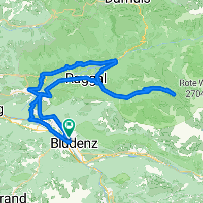
Silvretta 2025 Sport
- 146.5 km
- 1,949 m
- 2,105 m
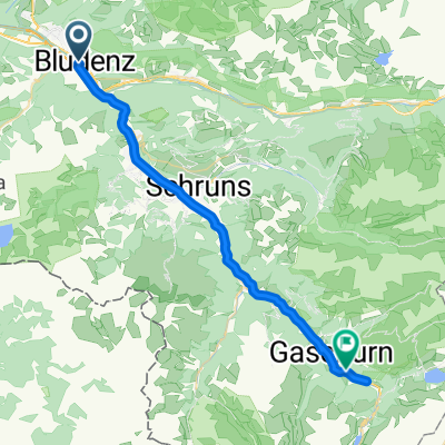
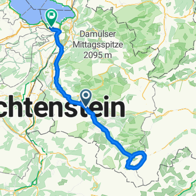
- Bludenz, Vorarlberg, Austria
A cycling route starting in Bludenz, Vorarlberg, Austria.
Overview
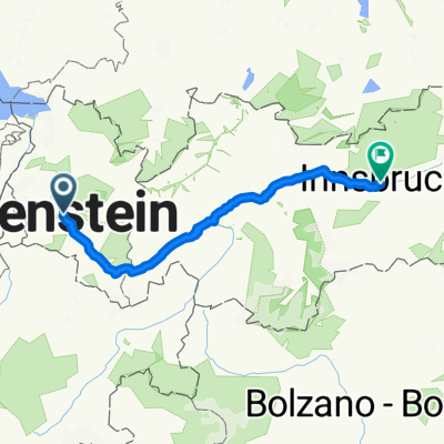
The pre-planned route with correction at the Reschenpass via St. Martin.
created this 13 years ago
Route quality
Quiet road
37.3 km
(13 %)
Track
22.9 km
(8 %)
Paved
249.3 km
(87 %)
Unpaved
17.2 km
(6 %)
Asphalt
249.3 km
(87 %)
Gravel
5.7 km
(2 %)
Route highlights
Tunnel
Tunnel
Tunnel
Tunnel
Tunnel
Continue with Bikemap
You would like to ride Via Volker or customize it for your own trip? Here is what you can do with this Bikemap route:
Free trial for 3 days, or one-time payment. More about Bikemap Premium.
Discover more Premium features.
Get Bikemap PremiumFrom our community
Open it in the app