

2025-P02 Kirchweidach🇩🇪
A cycling route starting in Braunau am Inn, Upper Austria, Austria.
Overview
About this route
20250429 1400
- 6 h 4 min
- Duration
- 94.8 km
- Distance
- 746 m
- Ascent
- 744 m
- Descent
- 15.6 km/h
- Avg. speed
- 529 m
- Max. altitude

Route quality
Waytypes & surfaces along the route
Waytypes
Quiet road
5.7 km
(6 %)
Road
1.9 km
(2 %)
Surfaces
Paved
12.3 km
(13 %)
Unpaved
1.9 km
(2 %)
Asphalt
12.3 km
(13 %)
Gravel
1.9 km
(2 %)
Undefined
80.6 km
(85 %)
Route highlights
Points of interest along the route

Point of interest after 47.4 km
Gemüsebau Steiner

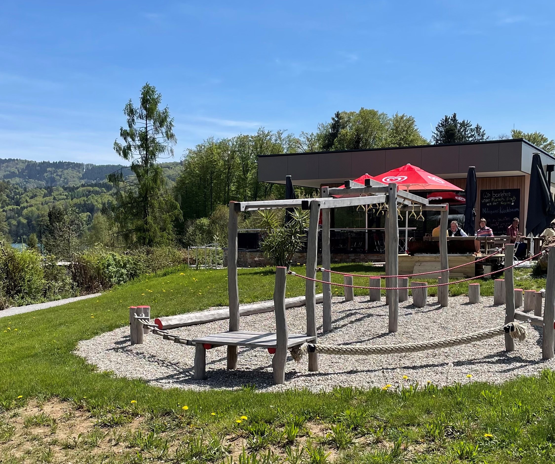
Point of interest after 60 km
Leitgeringer See https://wildfang-leitgering.de/webcam
Continue with Bikemap
Use, edit, or download this cycling route
You would like to ride 2025-P02 Kirchweidach🇩🇪 or customize it for your own trip? Here is what you can do with this Bikemap route:
Free features
- Save this route as favorite or in collections
- Copy & plan your own version of this route
- Split it into stages to create a multi-day tour
- Sync your route with Garmin or Wahoo
Premium features
Free trial for 3 days, or one-time payment. More about Bikemap Premium.
- Navigate this route on iOS & Android
- Export a GPX / KML file of this route
- Create your custom printout (try it for free)
- Download this route for offline navigation
Discover more Premium features.
Get Bikemap PremiumFrom our community
Other popular routes starting in Braunau am Inn
 2021-P01 Holzöster
- Distance
- 62.6 km
- Ascent
- 2,138 m
- Descent
- 2,138 m
- Location
- Braunau am Inn, Upper Austria, Austria
 2025-P04 Mattsee
- Distance
- 75.7 km
- Ascent
- 729 m
- Descent
- 726 m
- Location
- Braunau am Inn, Upper Austria, Austria
 Simbach Buchberg
- Distance
- 16.9 km
- Ascent
- 216 m
- Descent
- 215 m
- Location
- Braunau am Inn, Upper Austria, Austria
 Wandern Hofcafe Hadermann
- Distance
- 5.6 km
- Ascent
- 161 m
- Descent
- 3 m
- Location
- Braunau am Inn, Upper Austria, Austria
 2025-P02 Kirchweidach🇩🇪
- Distance
- 94.8 km
- Ascent
- 746 m
- Descent
- 744 m
- Location
- Braunau am Inn, Upper Austria, Austria
 2020-W14 Ach
- Distance
- 50.4 km
- Ascent
- 624 m
- Descent
- 628 m
- Location
- Braunau am Inn, Upper Austria, Austria
 Lange Ausfahrt durch Braunau am Inn
- Distance
- 43.8 km
- Ascent
- 132 m
- Descent
- 133 m
- Location
- Braunau am Inn, Upper Austria, Austria
 2022-P02 Feldkirchen
- Distance
- 54 km
- Ascent
- 483 m
- Descent
- 480 m
- Location
- Braunau am Inn, Upper Austria, Austria
Open it in the app