

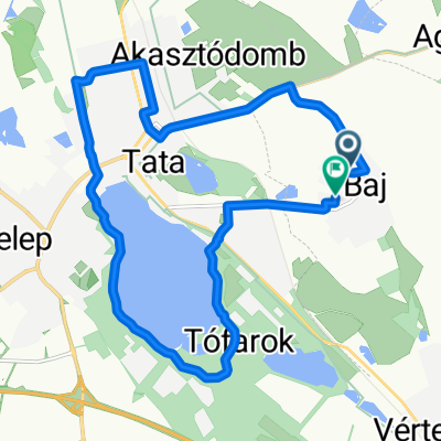
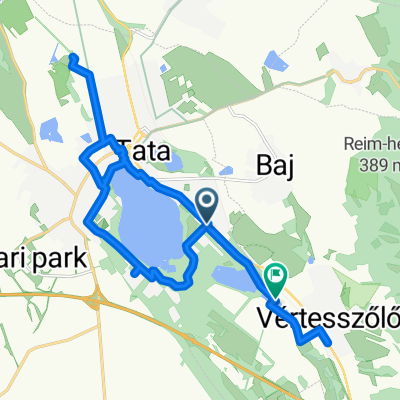
Útvonal
A cycling route starting in Baj, Komárom-Esztergom, Hungary.
Overview
About this route
- -:--
- Duration
- 7.7 km
- Distance
- 31 m
- Ascent
- 32 m
- Descent
- ---
- Avg. speed
- 147 m
- Max. altitude

Continue with Bikemap
Use, edit, or download this cycling route
You would like to ride Útvonal or customize it for your own trip? Here is what you can do with this Bikemap route:
Free features
- Save this route as favorite or in collections
- Copy & plan your own version of this route
- Sync your route with Garmin or Wahoo
Premium features
Free trial for 3 days, or one-time payment. More about Bikemap Premium.
- Navigate this route on iOS & Android
- Export a GPX / KML file of this route
- Create your custom printout (try it for free)
- Download this route for offline navigation
Discover more Premium features.
Get Bikemap PremiumFrom our community
Other popular routes starting in Baj
 20250826
- Distance
- 15.2 km
- Ascent
- 77 m
- Descent
- 126 m
- Location
- Baj, Komárom-Esztergom, Hungary
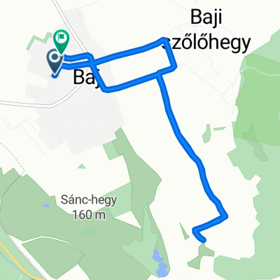
 20250919 Szolohegy
- Distance
- 6.9 km
- Ascent
- 178 m
- Descent
- 228 m
- Location
- Baj, Komárom-Esztergom, Hungary
 Boglárka utca, Tata - Camino De Santiago-Szt Jakab Zarándokút, Tata
- Distance
- 7.4 km
- Ascent
- 33 m
- Descent
- 33 m
- Location
- Baj, Komárom-Esztergom, Hungary
 Nyúl út - Rákóczi Ferenc utca
- Distance
- 46.3 km
- Ascent
- 332 m
- Descent
- 312 m
- Location
- Baj, Komárom-Esztergom, Hungary
 20251030
- Distance
- 7.4 km
- Ascent
- 226 m
- Descent
- 273 m
- Location
- Baj, Komárom-Esztergom, Hungary
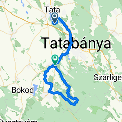
 From Tata to Vértesszőlős
- Distance
- 26.7 km
- Ascent
- 84 m
- Descent
- 89 m
- Location
- Baj, Komárom-Esztergom, Hungary
 Útvonal
- Distance
- 7.7 km
- Ascent
- 31 m
- Descent
- 32 m
- Location
- Baj, Komárom-Esztergom, Hungary
 Tata - Székesfehérvár 3
- Distance
- 64.5 km
- Ascent
- 364 m
- Descent
- 365 m
- Location
- Baj, Komárom-Esztergom, Hungary
Open it in the app