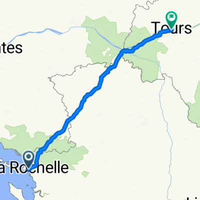
Von La Rochelle bis Tours
- 233.5 km
- 1,256 m
- 1,211 m
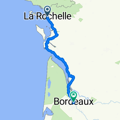
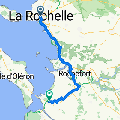
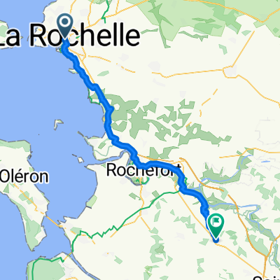
- La Rochelle, Nouvelle-Aquitaine, France
A cycling route starting in La Rochelle, Nouvelle-Aquitaine, France.
Overview
created this 7 months ago
Route quality
Road
85.7 km
(68 %)
Quiet road
22.7 km
(18 %)
Paved
35.3 km
(28 %)
Unpaved
2.5 km
(2 %)
Asphalt
30.3 km
(24 %)
Paved (undefined)
3.8 km
(3 %)
Continue with Bikemap
You would like to ride La Rochelle vers Challans (parcours le plus rapide) or customize it for your own trip? Here is what you can do with this Bikemap route:
Free trial for 3 days, or one-time payment. More about Bikemap Premium.
Discover more Premium features.
Get Bikemap PremiumFrom our community
Open it in the app