

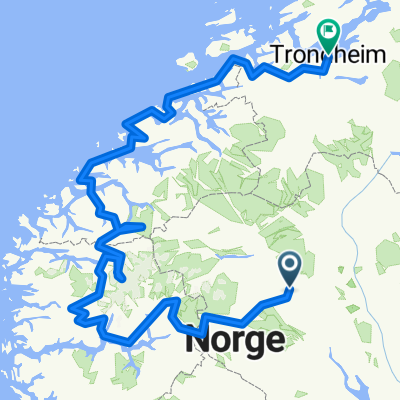
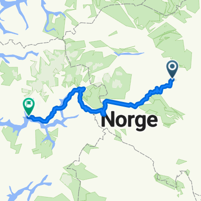
Olstappen rundt
A cycling route starting in Vinstra, Oppland, Norway.
Overview
About this route
Short training route, 20 km on gravel and asphalt. 5 km climb at the end of the route.
- -:--
- Duration
- 20.3 km
- Distance
- 379 m
- Ascent
- 379 m
- Descent
- ---
- Avg. speed
- ---
- Max. altitude
Route quality
Waytypes & surfaces along the route
Waytypes
Quiet road
12.2 km
(60 %)
Access road
0.2 km
(1 %)
Undefined
7.9 km
(39 %)
Surfaces
Paved
8.1 km
(40 %)
Unpaved
9.4 km
(46 %)
Ground
9.4 km
(46 %)
Asphalt
8.1 km
(40 %)
Undefined
2.8 km
(14 %)
Continue with Bikemap
Use, edit, or download this cycling route
You would like to ride Olstappen rundt or customize it for your own trip? Here is what you can do with this Bikemap route:
Free features
- Save this route as favorite or in collections
- Copy & plan your own version of this route
- Sync your route with Garmin or Wahoo
Premium features
Free trial for 3 days, or one-time payment. More about Bikemap Premium.
- Navigate this route on iOS & Android
- Export a GPX / KML file of this route
- Create your custom printout (try it for free)
- Download this route for offline navigation
Discover more Premium features.
Get Bikemap PremiumFrom our community
Other popular routes starting in Vinstra
 Skåburittet 30 km
- Distance
- 28.4 km
- Ascent
- 473 m
- Descent
- 473 m
- Location
- Vinstra, Oppland, Norway
 Galááááááá
- Distance
- 14.8 km
- Ascent
- 196 m
- Descent
- 196 m
- Location
- Vinstra, Oppland, Norway
 Skåbu
Skåbu- Distance
- 53.8 km
- Ascent
- 856 m
- Descent
- 810 m
- Location
- Vinstra, Oppland, Norway
 Skåburittet 2012, alt. 2
- Distance
- 75 km
- Ascent
- 777 m
- Descent
- 777 m
- Location
- Vinstra, Oppland, Norway
 Vinstra-Trondheim
- Distance
- 1,167.3 km
- Ascent
- 3,298 m
- Descent
- 3,293 m
- Location
- Vinstra, Oppland, Norway
 norge Xtra 128 bm Partim A Jotunheimveien
- Distance
- 11.9 km
- Ascent
- 442 m
- Descent
- 69 m
- Location
- Vinstra, Oppland, Norway
 Valdres: Mjølkevegen
- Distance
- 269.9 km
- Ascent
- 2,947 m
- Descent
- 2,820 m
- Location
- Vinstra, Oppland, Norway
 Vinstra - Sogndal
- Distance
- 315.9 km
- Ascent
- 6,325 m
- Descent
- 6,563 m
- Location
- Vinstra, Oppland, Norway
Open it in the app