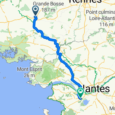
Procelianden metsä
A cycling route starting in Taupont, Brittany Region, France.
Overview
About this route
18.6. Procelianden metsäLeirintäalue löytyy pienestä Helleanin kylästä. Poljemme ensin Ploermeliin ja yritämme löytää karttoihin merkittyä pyöräilyreittiä. Arpomalla se taas onnistuu. Pyörätie on vedetty entiselle rautatiepohjalle, mutta viitoitusta ei taaskaan ole alkuunkaan. Yritämme löytää polun päätä, josta pääsismme Procelianden metsään. Siellä ei ole oikeastaan muuta erikoista nähtävää kuin alkuperäinen kuningas Arthurin ja pyöreän pöydän ritareiden linna, Chateau de Trecesson. Linna löytyykin, kiitos ystävällisen turisti-infotytön. Paluumatka Auganin kautta sujuu taas sutjakkaasti vanhaa ratapohjaa pitkin vedetyllä pyörätiellä.Ensimmäinen päivä tässä maassa, kun ei satanut!
- -:--
- Duration
- 66.5 km
- Distance
- 399 m
- Ascent
- 399 m
- Descent
- ---
- Avg. speed
- ---
- Avg. speed
Route quality
Waytypes & surfaces along the route
Waytypes
Path
15.4 km
(23 %)
Road
14 km
(21 %)
Surfaces
Paved
32.5 km
(49 %)
Unpaved
4.3 km
(6 %)
Asphalt
32.4 km
(49 %)
Gravel
3.1 km
(5 %)
Continue with Bikemap
Use, edit, or download this cycling route
You would like to ride Procelianden metsä or customize it for your own trip? Here is what you can do with this Bikemap route:
Free features
- Save this route as favorite or in collections
- Copy & plan your own version of this route
- Sync your route with Garmin or Wahoo
Premium features
Free trial for 3 days, or one-time payment. More about Bikemap Premium.
- Navigate this route on iOS & Android
- Export a GPX / KML file of this route
- Create your custom printout (try it for free)
- Download this route for offline navigation
Discover more Premium features.
Get Bikemap PremiumFrom our community
Other popular routes starting in Taupont
- Nantesin-Brestin kanava
- Distance
- 94.6 km
- Ascent
- 232 m
- Descent
- 232 m
- Location
- Taupont, Brittany Region, France
- Lago - Dinan
- Distance
- 87.2 km
- Ascent
- 332 m
- Descent
- 318 m
- Location
- Taupont, Brittany Region, France
- De Taupont a Les Cours Hello, Guillac
- Distance
- 6.2 km
- Ascent
- 7 m
- Descent
- 0 m
- Location
- Taupont, Brittany Region, France
- Ploërmel Rohan
- Distance
- 53.7 km
- Ascent
- 158 m
- Descent
- 129 m
- Location
- Taupont, Brittany Region, France
- Day 2 leg 1 of 2 Activity - Ploërmel / Questembert
- Distance
- 38.4 km
- Ascent
- 318 m
- Descent
- 257 m
- Location
- Taupont, Brittany Region, France
- 2305_Bretagne_Jour2
- Distance
- 109.7 km
- Ascent
- 571 m
- Descent
- 470 m
- Location
- Taupont, Brittany Region, France
- Taupont J1
- Distance
- 34 km
- Ascent
- 282 m
- Descent
- 288 m
- Location
- Taupont, Brittany Region, France
- Taupont J2
- Distance
- 39.3 km
- Ascent
- 362 m
- Descent
- 369 m
- Location
- Taupont, Brittany Region, France
Open it in the app