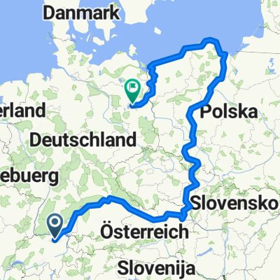
Ostblockvelotour 2008
- 8,234.1 km
- 5,108 m
- 5,108 m
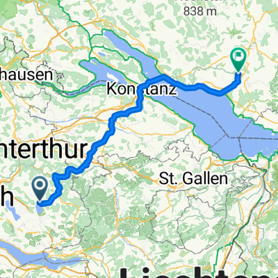
- Pfäffikon / Pfäffikon (Dorfkern), Canton of Zurich, Switzerland
A cycling route starting in Pfäffikon / Pfäffikon (Dorfkern), Canton of Zurich, Switzerland.
Overview
created this 13 years ago
Route quality
Road
25.3 km
(36 %)
Path
7 km
(10 %)
Paved
63.4 km
(90 %)
Unpaved
0.7 km
(1 %)
Asphalt
62.7 km
(89 %)
Paved (undefined)
0.7 km
(1 %)
Continue with Bikemap
You would like to ride Egger Route Extended or customize it for your own trip? Here is what you can do with this Bikemap route:
Free trial for 3 days, or one-time payment. More about Bikemap Premium.
Discover more Premium features.
Get Bikemap PremiumFrom our community
Open it in the app