

Ebreichsdorf Bahnhof - Leitha Radweg - Longinus Abstecher - gravel Leitha Radroute - Gasthaus Edelmühle - Wiener Neustadt Hauptbahnhof
A cycling route starting in Ebreichsdorf, Lower Austria, Austria.
Overview
About this route
- 3 h 7 min
- Duration
- 54.2 km
- Distance
- 264 m
- Ascent
- 235 m
- Descent
- 17.4 km/h
- Avg. speed
- 274 m
- Max. altitude
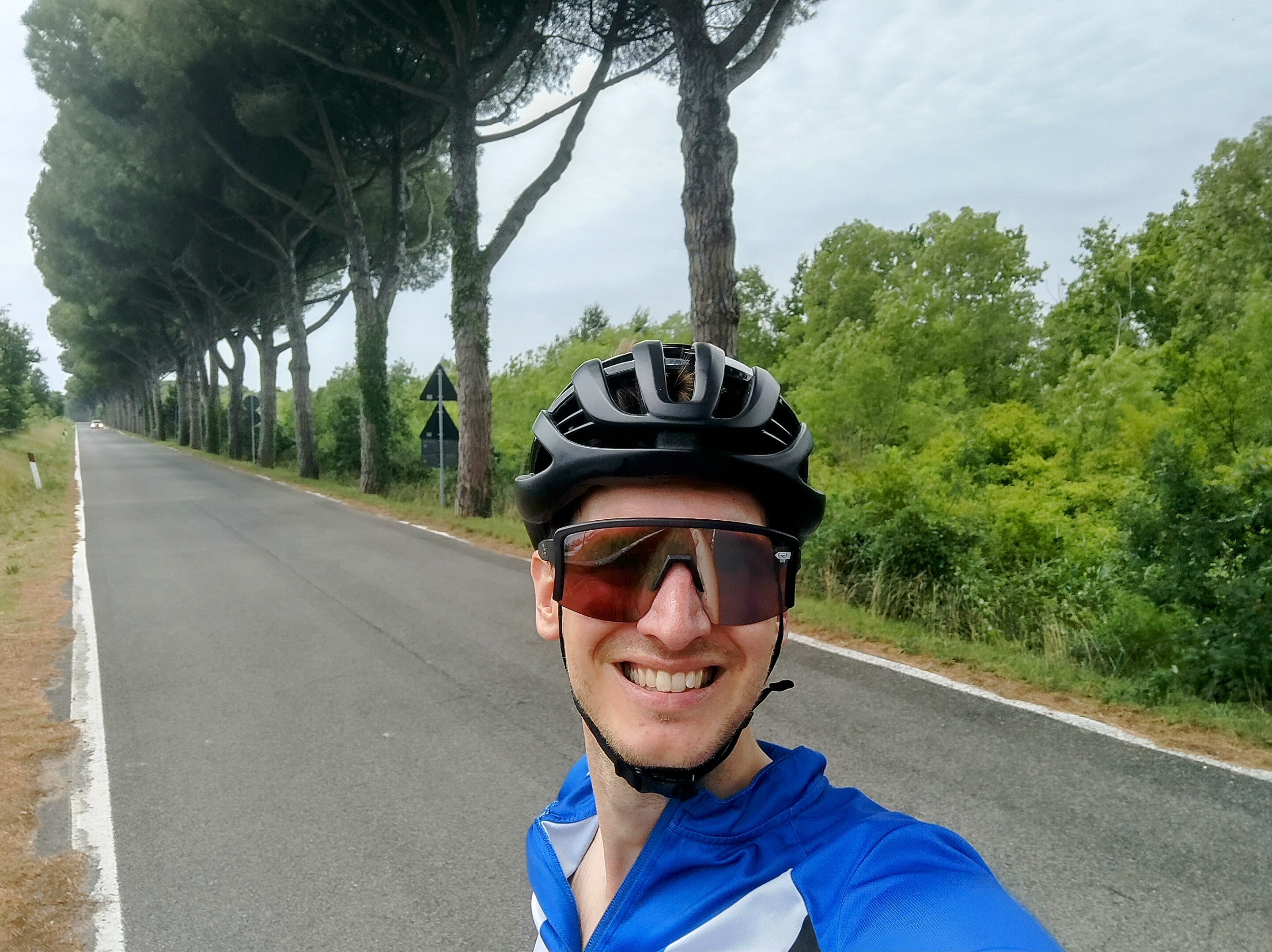
Route photos


Route quality
Waytypes & surfaces along the route
Waytypes
Track
28.7 km
(53 %)
Quiet road
11.9 km
(22 %)
Surfaces
Paved
30.4 km
(56 %)
Unpaved
19 km
(35 %)
Asphalt
28.2 km
(52 %)
Gravel
11.4 km
(21 %)
Continue with Bikemap
Use, edit, or download this cycling route
You would like to ride Ebreichsdorf Bahnhof - Leitha Radweg - Longinus Abstecher - gravel Leitha Radroute - Gasthaus Edelmühle - Wiener Neustadt Hauptbahnhof or customize it for your own trip? Here is what you can do with this Bikemap route:
Free features
- Save this route as favorite or in collections
- Copy & plan your own version of this route
- Sync your route with Garmin or Wahoo
Premium features
Free trial for 3 days, or one-time payment. More about Bikemap Premium.
- Navigate this route on iOS & Android
- Export a GPX / KML file of this route
- Create your custom printout (try it for free)
- Download this route for offline navigation
Discover more Premium features.
Get Bikemap PremiumFrom our community
Other popular routes starting in Ebreichsdorf
 Ebreichsdorf/Kuchlerhaus - Schwechat
- Distance
- 28.8 km
- Ascent
- 4 m
- Descent
- 48 m
- Location
- Ebreichsdorf, Lower Austria, Austria
 Neufeldersee-Steinbrunnersee
- Distance
- 44.1 km
- Ascent
- 163 m
- Descent
- 162 m
- Location
- Ebreichsdorf, Lower Austria, Austria
 Tour 15.08.2016
- Distance
- 38.3 km
- Ascent
- 51 m
- Descent
- 50 m
- Location
- Ebreichsdorf, Lower Austria, Austria
 Ebreichsdorf - Bad Rust
- Distance
- 44.4 km
- Ascent
- 251 m
- Descent
- 333 m
- Location
- Ebreichsdorf, Lower Austria, Austria
 Ebreichsdorf nach Loretta nach Ebreichsdorf
- Distance
- 34.2 km
- Ascent
- 89 m
- Descent
- 139 m
- Location
- Ebreichsdorf, Lower Austria, Austria
 Weigelsdorf - Gaaden - Weigelsdorf
- Distance
- 63.5 km
- Ascent
- 263 m
- Descent
- 265 m
- Location
- Ebreichsdorf, Lower Austria, Austria
 Ebreichsdorf nach Trumau Münchendorf Schranawand Weigelsdorf und zurück
- Distance
- 32.4 km
- Ascent
- 143 m
- Descent
- 145 m
- Location
- Ebreichsdorf, Lower Austria, Austria
 Ebreichsdorf-Hornstein-Ebreichsdorf tw flach tw hüglig
- Distance
- 41.3 km
- Ascent
- 144 m
- Descent
- 144 m
- Location
- Ebreichsdorf, Lower Austria, Austria
Open it in the app