Fröbelrundwanderweg
- 27.3 km
- 432 m
- 432 m
- Rudolstadt, Thuringia, Germany
A cycling route starting in Rudolstadt, Thuringia, Germany.
Overview
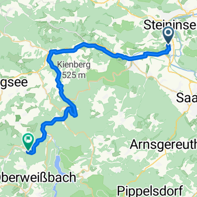
The Ilm-Saale bike path up to Remda and from there via Groschwitz to Herrenstraße and back. Lovely climbs and nice descents. Worthwhile! and expandable.
created this 13 years ago
Route highlights
Ein Bett im Kornfeld war für Verliebte frei! Aber warum im Gerstenfeld, die stachelt doch so sehr!
Continue with Bikemap
You would like to ride Nach Remda und über die Herrenstraße zurück or customize it for your own trip? Here is what you can do with this Bikemap route:
Free trial for 3 days, or one-time payment. More about Bikemap Premium.
Discover more Premium features.
Get Bikemap PremiumFrom our community
Open it in the app