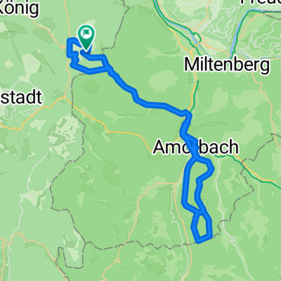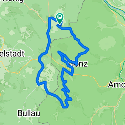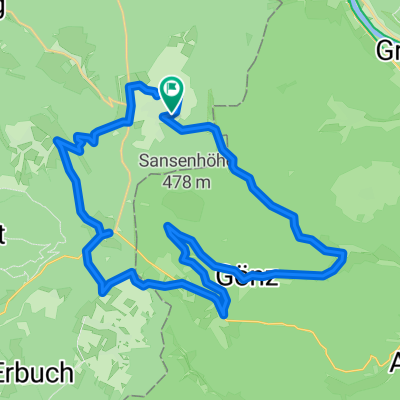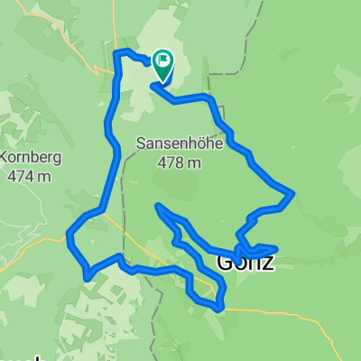
Vielbrunn - Gönz - Leidensweg - Boxbrunn - Grenzstation - Mangelsbach - Eulbach
- 32.3 km
- 725 m
- 730 m
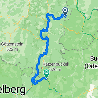
- Rüdenau, Bavaria, Germany
A cycling route starting in Rüdenau, Bavaria, Germany.
Overview
created this 7 months ago


Route quality
Road
26.4 km
(36 %)
Track
25.6 km
(35 %)
Paved
56.4 km
(77 %)
Unpaved
11 km
(15 %)
Asphalt
50.5 km
(69 %)
Gravel
9.5 km
(13 %)
Continue with Bikemap
You would like to ride Vielbrunn - Walldürn - Wp7/35 - Wp7/31 - Glashofen - Wp 7/16 - Wp 7/15 - Neudorf - Mainbullau or customize it for your own trip? Here is what you can do with this Bikemap route:
Free trial for 3 days, or one-time payment. More about Bikemap Premium.
Discover more Premium features.
Get Bikemap PremiumFrom our community
Open it in the app