
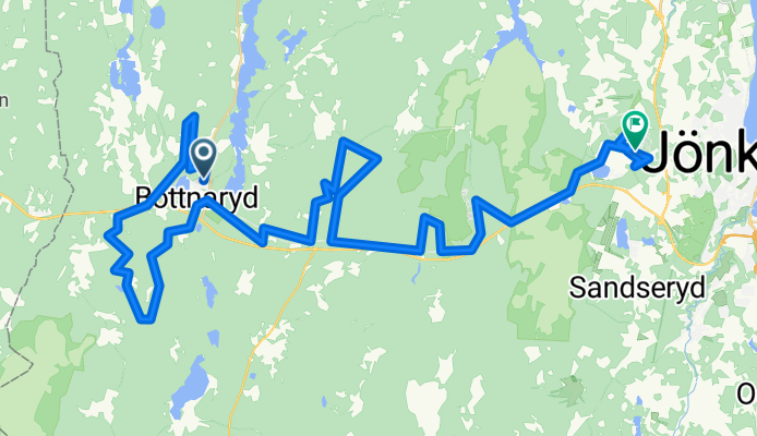
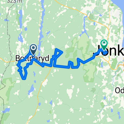
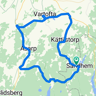
Cykelrallaren 2012
A cycling route starting in Mullsjö, Jönköping County, Sweden.
Overview
About this route
The Cykelrallaren race in its inaugural year 2012.
- -:--
- Duration
- 58.8 km
- Distance
- 417 m
- Ascent
- 427 m
- Descent
- ---
- Avg. speed
- ---
- Max. altitude

Continue with Bikemap
Use, edit, or download this cycling route
You would like to ride Cykelrallaren 2012 or customize it for your own trip? Here is what you can do with this Bikemap route:
Free features
- Save this route as favorite or in collections
- Copy & plan your own version of this route
- Sync your route with Garmin or Wahoo
Premium features
Free trial for 3 days, or one-time payment. More about Bikemap Premium.
- Navigate this route on iOS & Android
- Export a GPX / KML file of this route
- Create your custom printout (try it for free)
- Download this route for offline navigation
Discover more Premium features.
Get Bikemap PremiumFrom our community
Other popular routes starting in Mullsjö
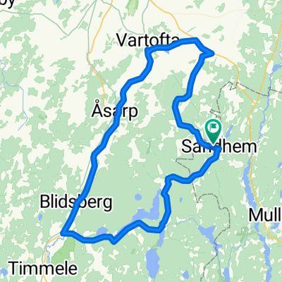
 tandemXeurope 2009 - Day 26
- Distance
- 103.6 km
- Ascent
- 357 m
- Descent
- 479 m
- Location
- Mullsjö, Jönköping County, Sweden
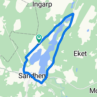 Sandhem, Sandhem to Sandhem, Sandhem
- Distance
- 9.3 km
- Ascent
- 83 m
- Descent
- 81 m
- Location
- Mullsjö, Jönköping County, Sweden
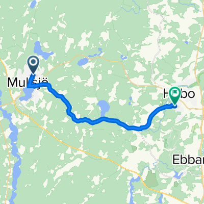 Gunnarsbovägen 35, Mullsjö to Skyttevägen 1B, Habo
- Distance
- 15.2 km
- Ascent
- 271 m
- Descent
- 391 m
- Location
- Mullsjö, Jönköping County, Sweden
 Cykelrallaren 2012
- Distance
- 58.8 km
- Ascent
- 417 m
- Descent
- 427 m
- Location
- Mullsjö, Jönköping County, Sweden
 xxq3
xxq3- Distance
- 65.5 km
- Ascent
- 190 m
- Descent
- 192 m
- Location
- Mullsjö, Jönköping County, Sweden
 Hökensås loop
- Distance
- 216.1 km
- Ascent
- 891 m
- Descent
- 894 m
- Location
- Mullsjö, Jönköping County, Sweden
 To work
- Distance
- 29.9 km
- Ascent
- 136 m
- Descent
- 243 m
- Location
- Mullsjö, Jönköping County, Sweden
 xxq2
xxq2- Distance
- 77.9 km
- Ascent
- 369 m
- Descent
- 363 m
- Location
- Mullsjö, Jönköping County, Sweden
Open it in the app