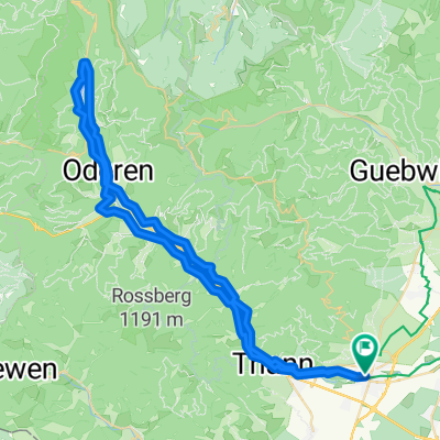
Cernay - Vallée de la Thur - Lac de Wildenstein
- 61.6 km
- 375 m
- 375 m
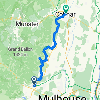
- Cernay, Grand Est, France
A cycling route starting in Cernay, Grand Est, France.
Overview
created this 9 months ago
Route quality
Cycleway
13.7 km
(12 %)
Road
11.4 km
(10 %)
Paved
88.1 km
(77 %)
Unpaved
6.9 km
(6 %)
Asphalt
88.1 km
(77 %)
Unpaved (undefined)
3.4 km
(3 %)
Continue with Bikemap
You would like to ride 3.Mai Route des Cretes or customize it for your own trip? Here is what you can do with this Bikemap route:
Free trial for 3 days, or one-time payment. More about Bikemap Premium.
Discover more Premium features.
Get Bikemap PremiumFrom our community
Open it in the app