

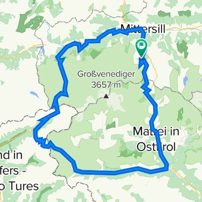
Unbenannte Route
A cycling route starting in Hollersbach im Pinzgau, Salzburg, Austria.
Overview
About this route
- 15 h 42 min
- Duration
- 251.9 km
- Distance
- 2,324 m
- Ascent
- 2,835 m
- Descent
- 16 km/h
- Avg. speed
- 816 m
- Max. altitude
Route quality
Waytypes & surfaces along the route
Waytypes
Quiet road
83.1 km
(33 %)
Cycleway
60.5 km
(24 %)
Surfaces
Paved
151.2 km
(60 %)
Unpaved
47.9 km
(19 %)
Asphalt
148.6 km
(59 %)
Gravel
45.3 km
(18 %)
Continue with Bikemap
Use, edit, or download this cycling route
You would like to ride Unbenannte Route or customize it for your own trip? Here is what you can do with this Bikemap route:
Free features
- Save this route as favorite or in collections
- Copy & plan your own version of this route
- Split it into stages to create a multi-day tour
- Sync your route with Garmin or Wahoo
Premium features
Free trial for 3 days, or one-time payment. More about Bikemap Premium.
- Navigate this route on iOS & Android
- Export a GPX / KML file of this route
- Create your custom printout (try it for free)
- Download this route for offline navigation
Discover more Premium features.
Get Bikemap PremiumFrom our community
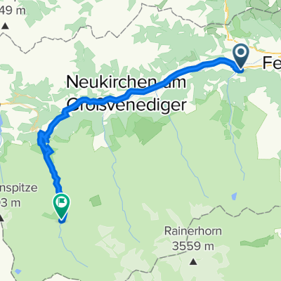
Other popular routes starting in Hollersbach im Pinzgau
 Gravel Austria, Etappe Tirol, Ost - West
- Distance
- 288.9 km
- Ascent
- 3,301 m
- Descent
- 2,747 m
- Location
- Hollersbach im Pinzgau, Salzburg, Austria
 Seecamp
- Distance
- 40 km
- Ascent
- 393 m
- Descent
- 446 m
- Location
- Hollersbach im Pinzgau, Salzburg, Austria
 Großvenedigerrunde
- Distance
- 176.7 km
- Ascent
- 4,515 m
- Descent
- 4,519 m
- Location
- Hollersbach im Pinzgau, Salzburg, Austria
 Krimmler Tauernhaus
- Distance
- 37 km
- Ascent
- 1,207 m
- Descent
- 395 m
- Location
- Hollersbach im Pinzgau, Salzburg, Austria
 den 1 Hollersbach - Camp Schloss Aigen
- Distance
- 126.2 km
- Ascent
- 176 m
- Descent
- 543 m
- Location
- Hollersbach im Pinzgau, Salzburg, Austria
 AC22 Mittersill St Pöltner
- Distance
- 28 km
- Ascent
- 2,061 m
- Descent
- 812 m
- Location
- Hollersbach im Pinzgau, Salzburg, Austria
 Schnelle Ausfahrt durch Mittersill
- Distance
- 2 km
- Ascent
- 4 m
- Descent
- 113 m
- Location
- Hollersbach im Pinzgau, Salzburg, Austria
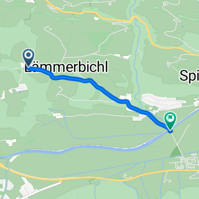
 Fürther Hütte
- Distance
- 8.8 km
- Ascent
- 444 m
- Descent
- 65 m
- Location
- Hollersbach im Pinzgau, Salzburg, Austria
Open it in the app