Vatertag - Kampe - Dangast
- 56 km
- 40 m
- 44 m
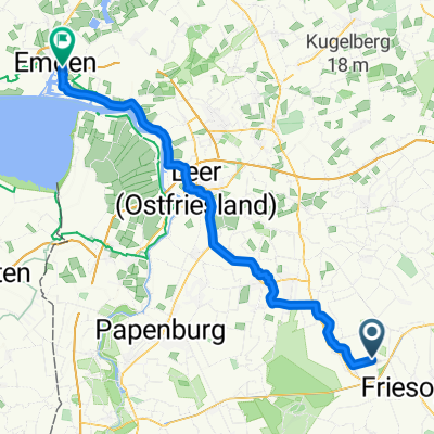
- Friesoythe, Lower Saxony, Germany
A cycling route starting in Friesoythe, Lower Saxony, Germany.
Overview
From Friesoythe to the Vehnemoor nature reserve and back.
created this 7 months ago
Continue with Bikemap
You would like to ride Moor-Wasser-Land - Knotenpunkttour im Erholungsgebiet Thülsfelder Talsperre or customize it for your own trip? Here is what you can do with this Bikemap route:
Free trial for 3 days, or one-time payment. More about Bikemap Premium.
Discover more Premium features.
Get Bikemap PremiumFrom our community
Open it in the app