Ranggen - Völser Teich - Ranggen
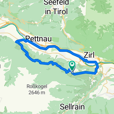
A cycling route starting in Ranggen, Tyrol, Austria.
Overview
About this route
- 1 h 35 min
- Duration
- 23.3 km
- Distance
- 474 m
- Ascent
- 476 m
- Descent
- 14.7 km/h
- Avg. speed
- 847 m
- Avg. speed
Route quality
Waytypes & surfaces along the route
Waytypes
Cycleway
6.9 km
(30 %)
Track
4.3 km
(19 %)
Surfaces
Paved
18.5 km
(80 %)
Unpaved
0.9 km
(4 %)
Asphalt
18.1 km
(78 %)
Gravel
0.9 km
(4 %)
Continue with Bikemap
Use, edit, or download this cycling route
You would like to ride Ranggen - Völser Teich - Ranggen or customize it for your own trip? Here is what you can do with this Bikemap route:
Free features
- Save this route as favorite or in collections
- Copy & plan your own version of this route
- Sync your route with Garmin or Wahoo
Premium features
Free trial for 3 days, or one-time payment. More about Bikemap Premium.
- Navigate this route on iOS & Android
- Export a GPX / KML file of this route
- Create your custom printout (try it for free)
- Download this route for offline navigation
Discover more Premium features.
Get Bikemap PremiumFrom our community
Other popular routes starting in Ranggen
- Ranggen - Völser Teich - Ranggen
- Distance
- 23.3 km
- Ascent
- 474 m
- Descent
- 476 m
- Location
- Ranggen, Tyrol, Austria
- Locherboden Runde 1.5h
- Distance
- 49.2 km
- Ascent
- 344 m
- Descent
- 344 m
- Location
- Ranggen, Tyrol, Austria
- Ranggen - Oberperfuss- Stiglreith und zurück
- Distance
- 17 km
- Ascent
- 625 m
- Descent
- 625 m
- Location
- Ranggen, Tyrol, Austria
- Inzing - Roßkogelhütte
- Distance
- 11.8 km
- Ascent
- 1,275 m
- Descent
- 95 m
- Location
- Ranggen, Tyrol, Austria
- Ranggen - Ötztal-Bahnhof -Ranggen
- Distance
- 79.3 km
- Ascent
- 412 m
- Descent
- 409 m
- Location
- Ranggen, Tyrol, Austria
- 12km Laufrunde
- Distance
- 12.3 km
- Ascent
- 363 m
- Descent
- 363 m
- Location
- Ranggen, Tyrol, Austria
- BM Ranggen - Rangger Köpfl
- Distance
- 25.7 km
- Ascent
- 1,091 m
- Descent
- 1,091 m
- Location
- Ranggen, Tyrol, Austria
- Ranggen - Oberperfuss - Kühtai - Trainingsrunde
- Distance
- 57.7 km
- Ascent
- 1,562 m
- Descent
- 1,562 m
- Location
- Ranggen, Tyrol, Austria
Open it in the app