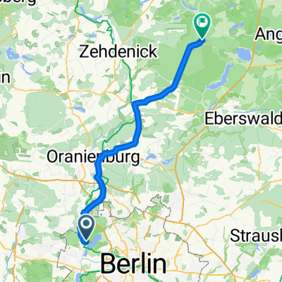
Aalemannufer, Berlin nach Wucker, Templin
- 71 km
- 222 m
- 185 m
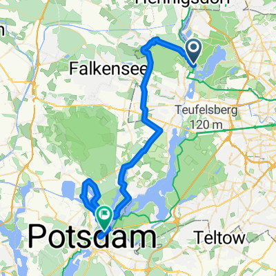
- Konradshöhe, State of Berlin, Germany
A cycling route starting in Konradshöhe, State of Berlin, Germany.
Overview
created this 7 months ago
Route quality
Quiet road
18.4 km
(43 %)
Track
9.9 km
(23 %)
Paved
26.6 km
(62 %)
Unpaved
5.6 km
(13 %)
Asphalt
21.4 km
(50 %)
Concrete
5.1 km
(12 %)
Continue with Bikemap
You would like to ride 40km Training or customize it for your own trip? Here is what you can do with this Bikemap route:
Free trial for 3 days, or one-time payment. More about Bikemap Premium.
Discover more Premium features.
Get Bikemap PremiumFrom our community
Open it in the app