Font Romeu - La Molina - Tosses
- 118.1 km
- 2,023 m
- 2,026 m
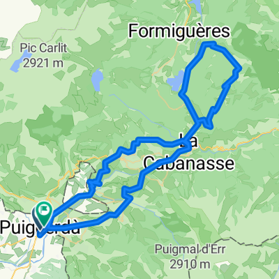
- Puigcerdà, Catalonia, Spain
A cycling route starting in Puigcerdà, Catalonia, Spain.
Overview
Puigcerda Llivia - Astavar - Col de Fau - Font Romeu - Coll del Calvari - Mont-Louis - Puig de Castello - Matamale - Col de Creu - Coll de la Llose - La Llagonne - Mont-Louis - Col de la Perche - Saillagouse - Puigcerda.
created this 7 months ago
Continue with Bikemap
You would like to ride COLL DEL CALVARI-COL DE CREU-COLL DE LA LLOSE or customize it for your own trip? Here is what you can do with this Bikemap route:
Free trial for 3 days, or one-time payment. More about Bikemap Premium.
Discover more Premium features.
Get Bikemap PremiumFrom our community
Open it in the app