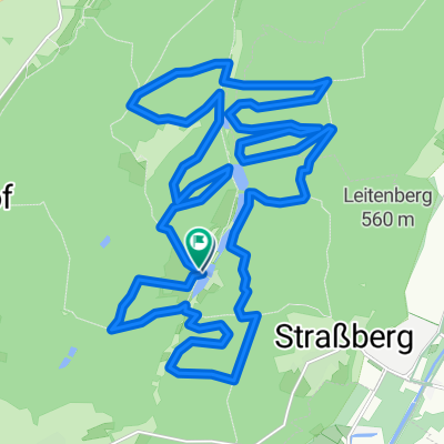
ww 30
- 27.9 km
- 585 m
- 582 m
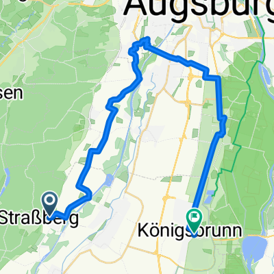
- Wehringen, Bavaria, Germany
A cycling route starting in Wehringen, Bavaria, Germany.
Overview
The tour starts in Bobingen-Siedlung and first follows an asphalt path to Auwald, where it then enters the forest. After a short ride, one reaches a beautiful Kneipp facility. Next, it proceeds to a small bike park, where one can prove their technical skills. Following this, one goes through the forest and a small stretch of asphalt road to Wertach. Along Wertach, it then returns to Augsburg.
created this 13 years ago
Route quality
Track
21.3 km
(71 %)
Path
3.3 km
(11 %)
Paved
9 km
(30 %)
Unpaved
20.7 km
(69 %)
Gravel
11.1 km
(37 %)
Asphalt
9 km
(30 %)
Continue with Bikemap
You would like to ride Westliche Wälder- Strassburg or customize it for your own trip? Here is what you can do with this Bikemap route:
Free trial for 3 days, or one-time payment. More about Bikemap Premium.
Discover more Premium features.
Get Bikemap PremiumFrom our community
Open it in the app