
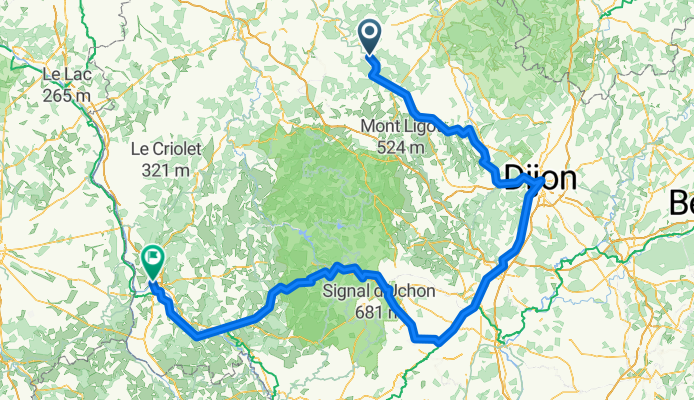
Source of Seine May 29-30
A cycling route starting in Ravières, Bourgogne-Franche-Comté, France.
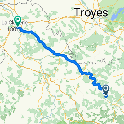
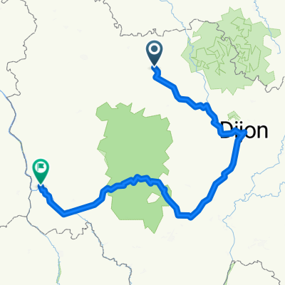
Overview
About this route
- 22 h 25 min
- Duration
- 367.8 km
- Distance
- 3,738 m
- Ascent
- 3,750 m
- Descent
- 16.4 km/h
- Avg. speed
- 795 m
- Max. altitude

Route quality
Waytypes & surfaces along the route
Waytypes
Quiet road
136.1 km
(37 %)
Cycleway
77.2 km
(21 %)
Surfaces
Paved
191.3 km
(52 %)
Unpaved
25.7 km
(7 %)
Asphalt
180.2 km
(49 %)
Unpaved (undefined)
14.7 km
(4 %)
Continue with Bikemap
Use, edit, or download this cycling route
You would like to ride Source of Seine May 29-30 or customize it for your own trip? Here is what you can do with this Bikemap route:
Free features
- Save this route as favorite or in collections
- Copy & plan your own version of this route
- Split it into stages to create a multi-day tour
- Sync your route with Garmin or Wahoo
Premium features
Free trial for 3 days, or one-time payment. More about Bikemap Premium.
- Navigate this route on iOS & Android
- Export a GPX / KML file of this route
- Create your custom printout (try it for free)
- Download this route for offline navigation
Discover more Premium features.
Get Bikemap PremiumFrom our community
Other popular routes starting in Ravières
 2022 Tag 3
- Distance
- 74.8 km
- Ascent
- 657 m
- Descent
- 798 m
- Location
- Ravières, Bourgogne-Franche-Comté, France
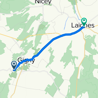 7 Rue Cornu, Sennevoy-le-Haut à 11 Grande Rue de la Maison Dieu, Laignes
- Distance
- 7.9 km
- Ascent
- 20 m
- Descent
- 70 m
- Location
- Ravières, Bourgogne-Franche-Comté, France
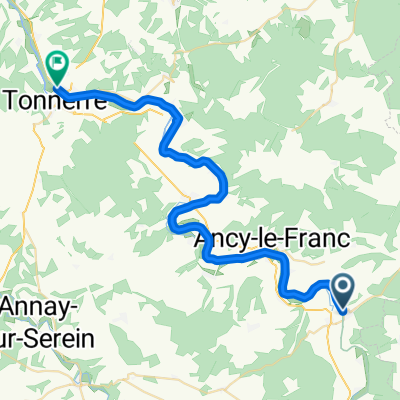 Ravières - Tonnerre
- Distance
- 38.6 km
- Ascent
- 27 m
- Descent
- 72 m
- Location
- Ravières, Bourgogne-Franche-Comté, France
 2022 Tag 3 Vers. II
- Distance
- 80.3 km
- Ascent
- 703 m
- Descent
- 837 m
- Location
- Ravières, Bourgogne-Franche-Comté, France
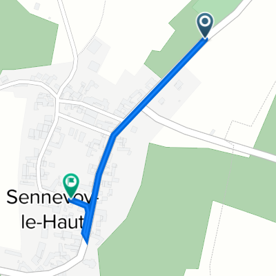 48 Rue Notre-Dame, Sennevoy-le-Haut à 7 Rue Cornu, Sennevoy-le-Haut
- Distance
- 0.6 km
- Ascent
- 14 m
- Descent
- 0 m
- Location
- Ravières, Bourgogne-Franche-Comté, France
 Ravières Cycling
- Distance
- 118.7 km
- Ascent
- 395 m
- Descent
- 512 m
- Location
- Ravières, Bourgogne-Franche-Comté, France
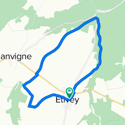 Sur les traces du chemin de fer d’Étivey
- Distance
- 9.1 km
- Ascent
- 109 m
- Descent
- 114 m
- Location
- Ravières, Bourgogne-Franche-Comté, France
 Source of Seine May 29-30
- Distance
- 367.8 km
- Ascent
- 3,738 m
- Descent
- 3,750 m
- Location
- Ravières, Bourgogne-Franche-Comté, France
Open it in the app