
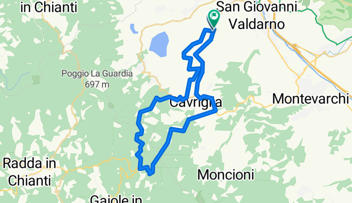
Badia, toccata e fuga
A cycling route starting in Vacchereccia, Tuscany, Italy.
Overview
About this route
- 1 h 49 min
- Duration
- 28.3 km
- Distance
- 642 m
- Ascent
- 688 m
- Descent
- 15.6 km/h
- Avg. speed
- 674 m
- Max. altitude
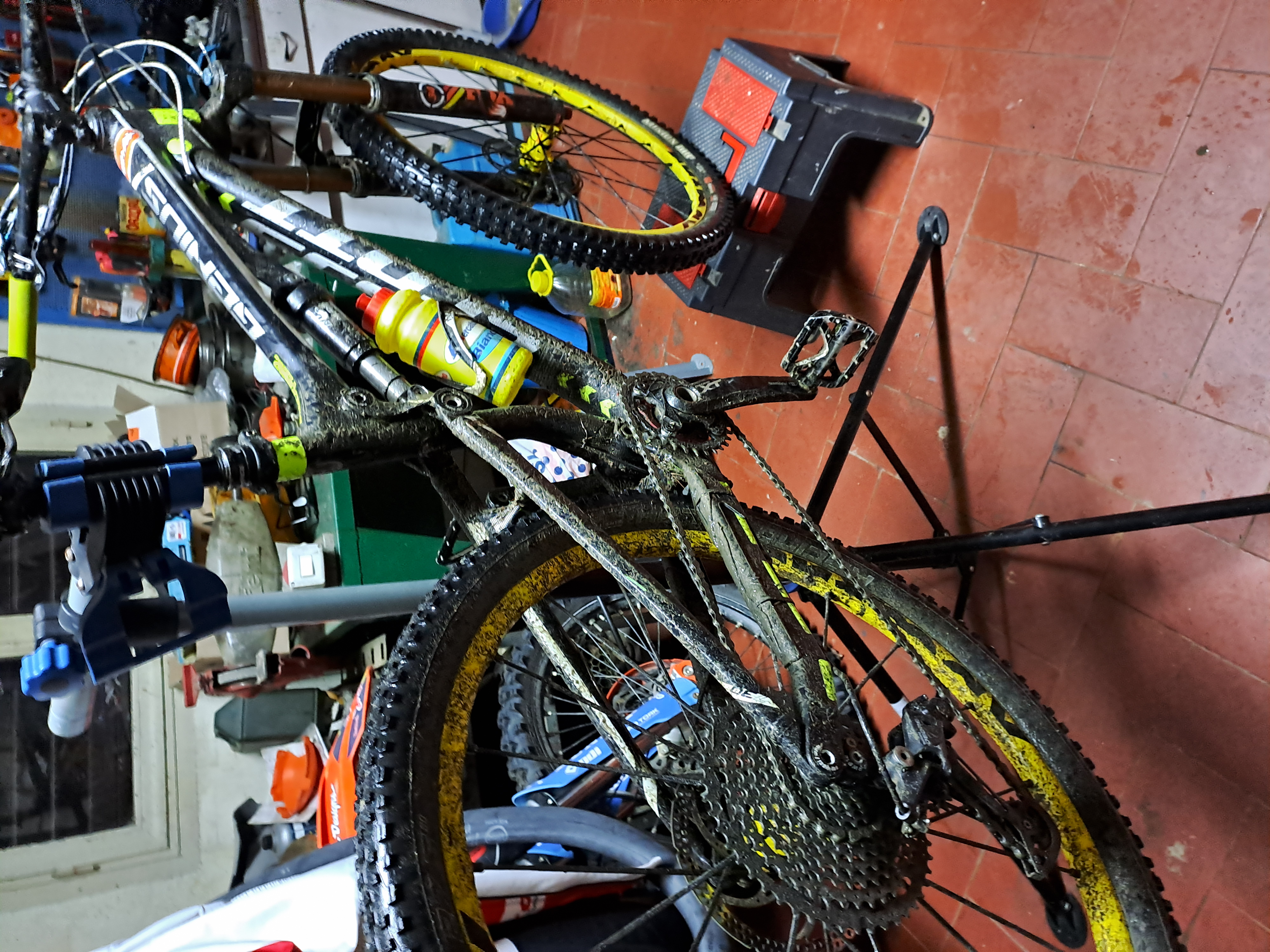
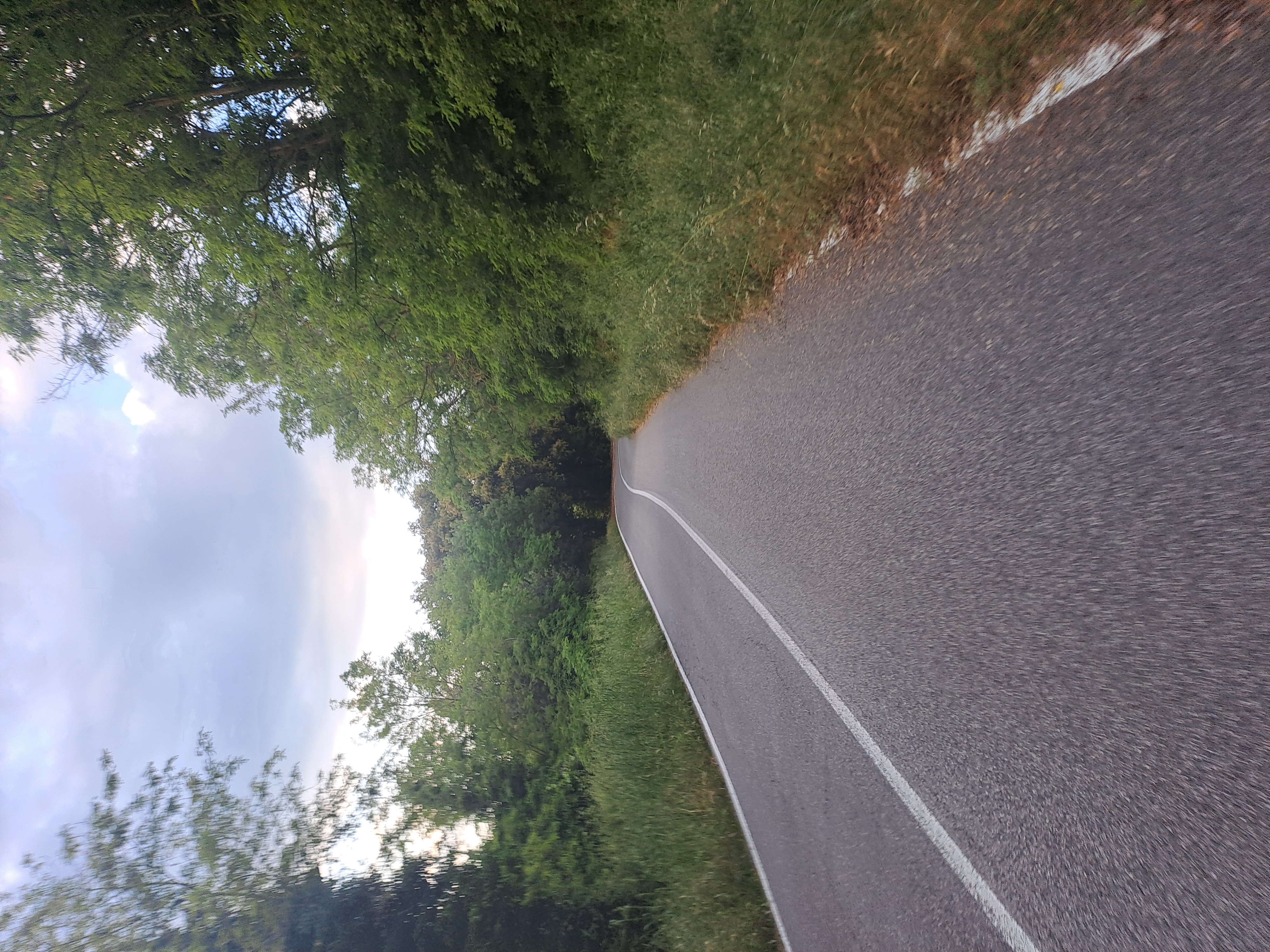
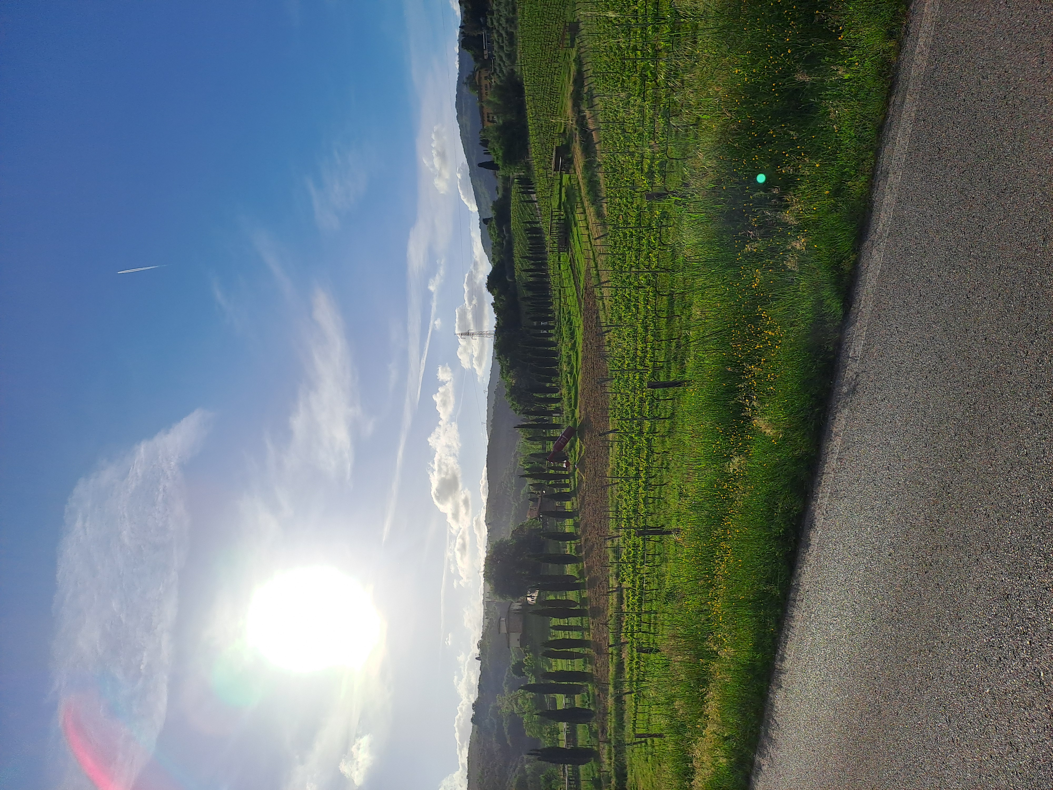
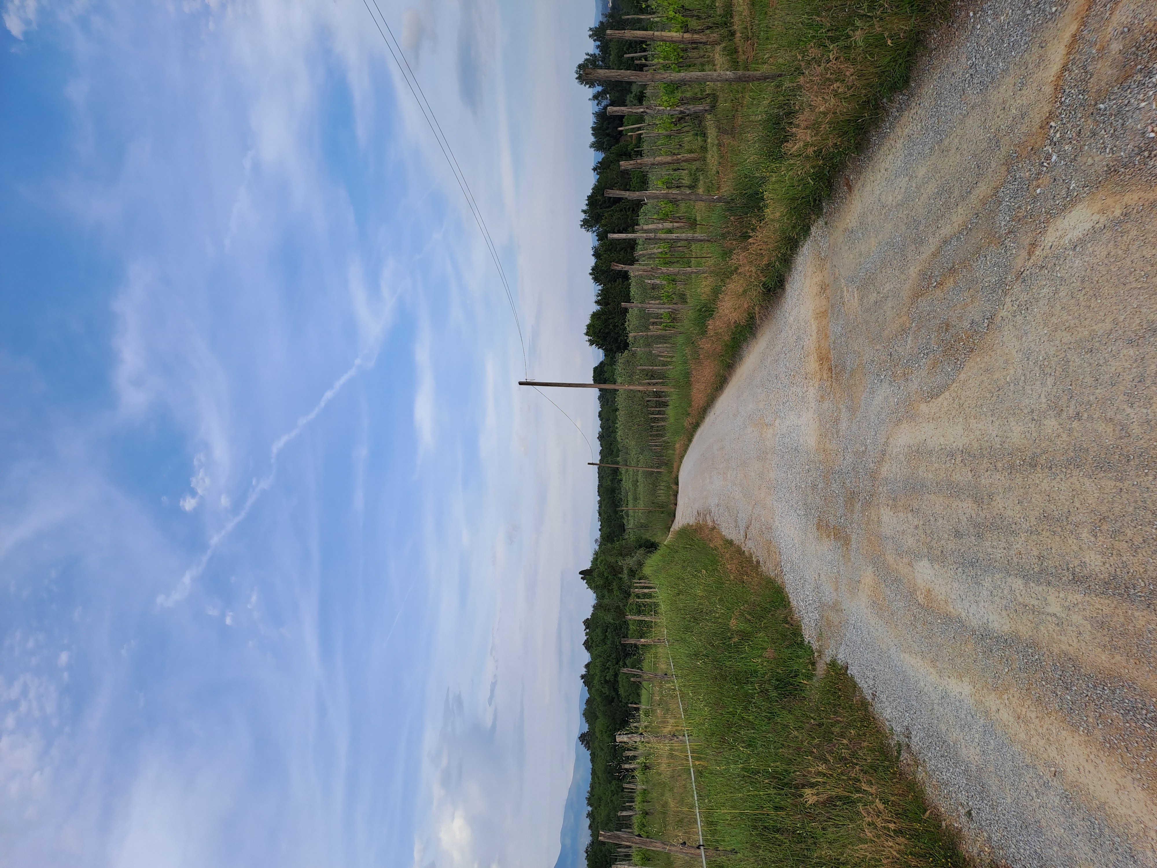
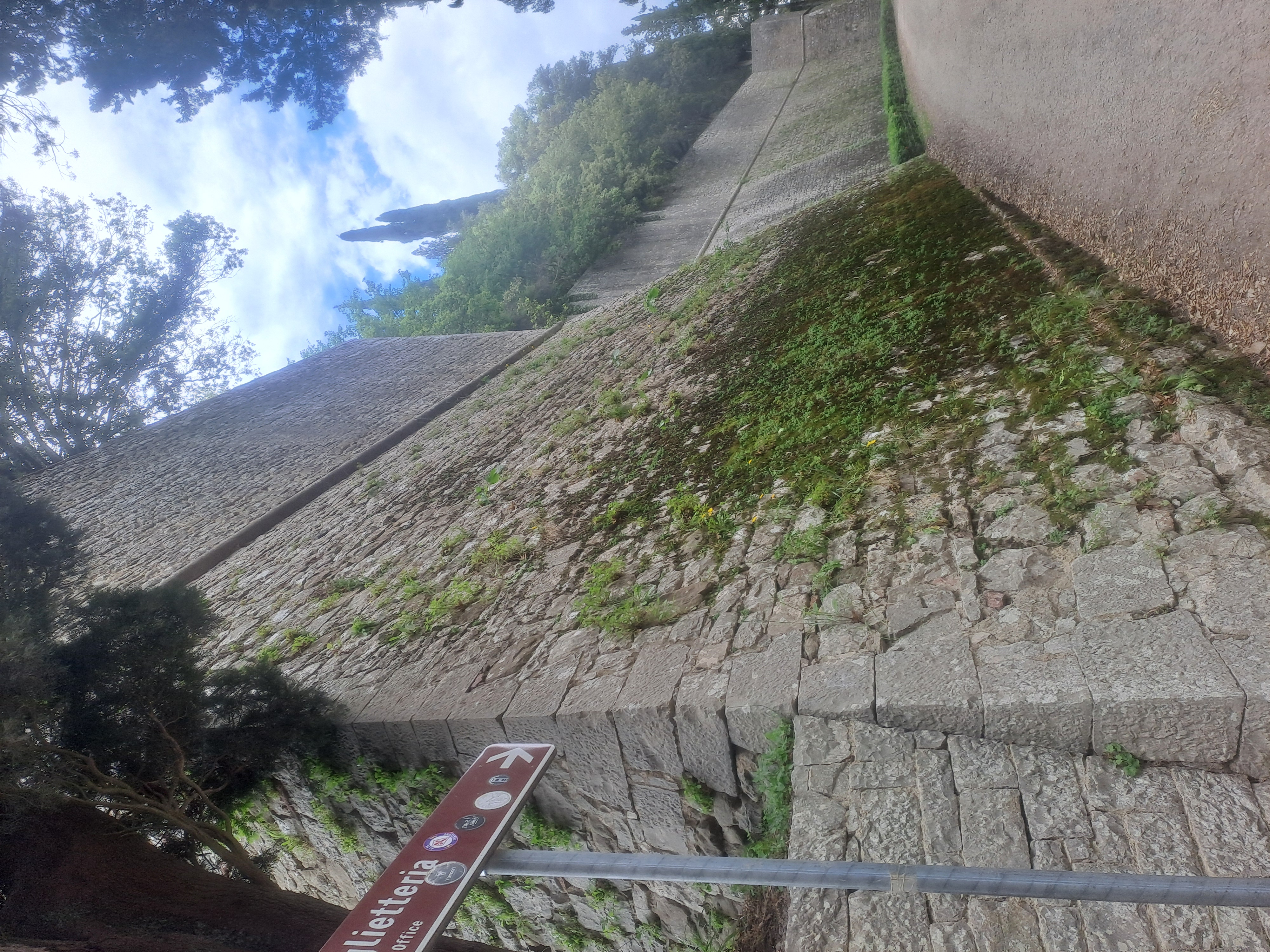
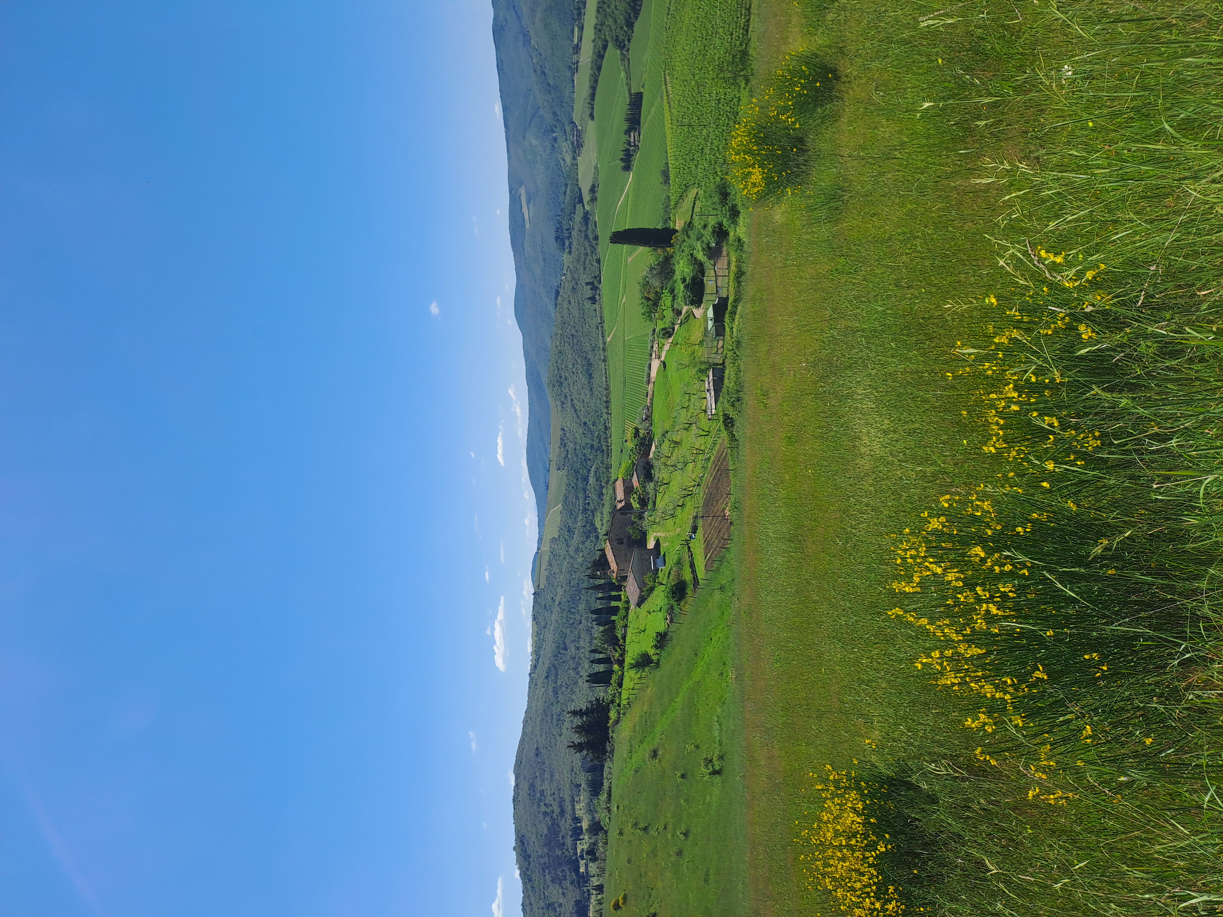
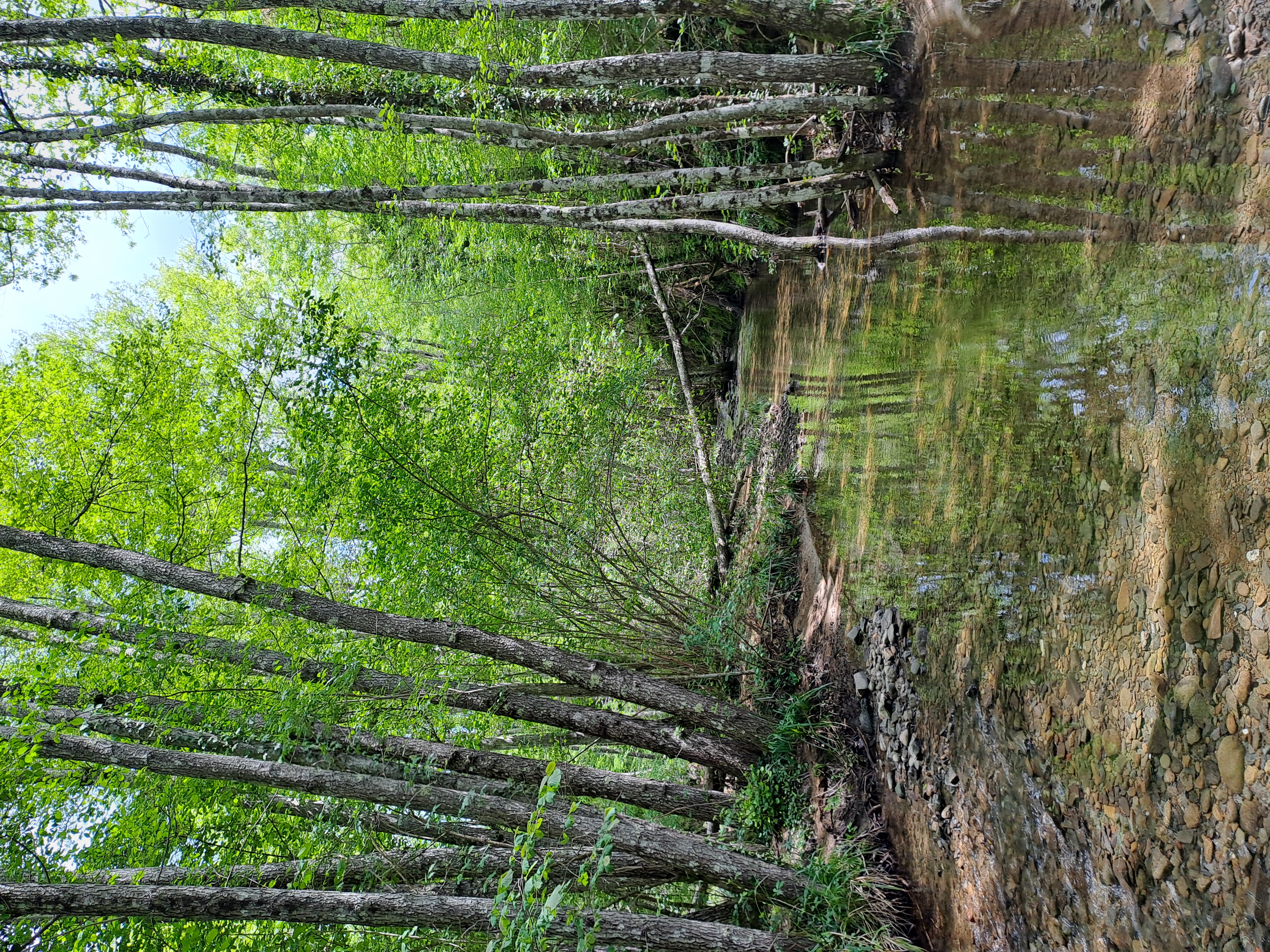
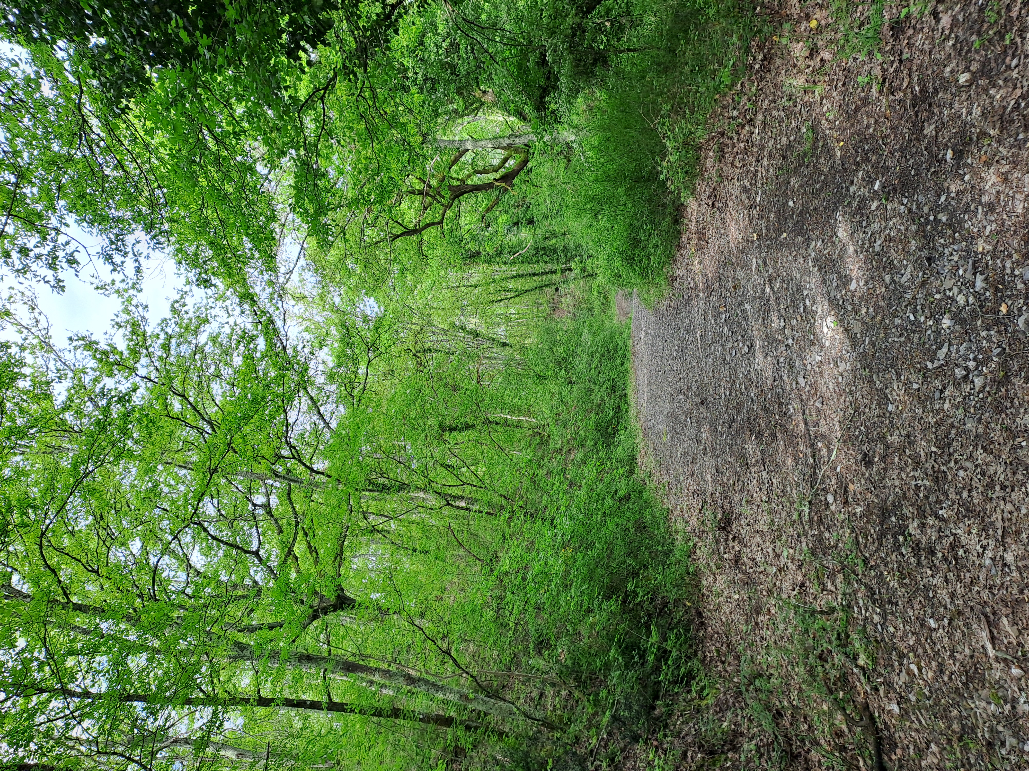
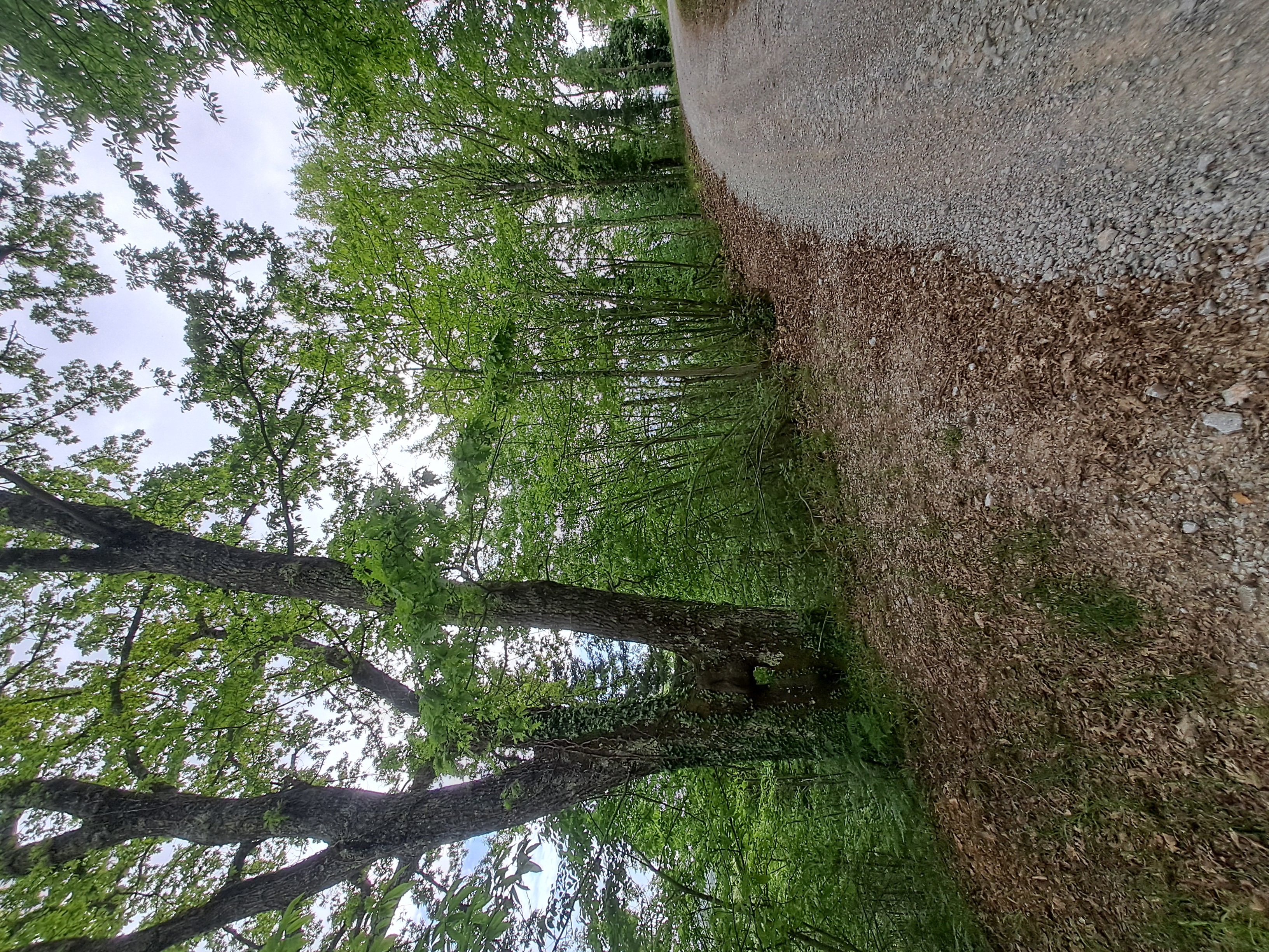
Route photos

Continue with Bikemap
Use, edit, or download this cycling route
You would like to ride Badia, toccata e fuga or customize it for your own trip? Here is what you can do with this Bikemap route:
Free features
- Save this route as favorite or in collections
- Copy & plan your own version of this route
- Sync your route with Garmin or Wahoo
Premium features
Free trial for 3 days, or one-time payment. More about Bikemap Premium.
- Navigate this route on iOS & Android
- Export a GPX / KML file of this route
- Create your custom printout (try it for free)
- Download this route for offline navigation
Discover more Premium features.
Get Bikemap PremiumFrom our community
Other popular routes starting in Vacchereccia
 7 ponti, sole e pioggia
- Distance
- 46.4 km
- Ascent
- 461 m
- Descent
- 515 m
- Location
- Vacchereccia, Tuscany, Italy
 passo del martedi (06/05)
- Distance
- 38.5 km
- Ascent
- 453 m
- Descent
- 504 m
- Location
- Vacchereccia, Tuscany, Italy
 Il pavone di Renacci
- Distance
- 37.3 km
- Ascent
- 415 m
- Descent
- 460 m
- Location
- Vacchereccia, Tuscany, Italy
 Castello di Brolio to San Gusmè
- Distance
- 86.6 km
- Ascent
- 1,766 m
- Descent
- 1,804 m
- Location
- Vacchereccia, Tuscany, Italy
 Chianti DOCG
- Distance
- 73.6 km
- Ascent
- 1,782 m
- Descent
- 1,825 m
- Location
- Vacchereccia, Tuscany, Italy
 Enduro pesante,verso la sorgente
- Distance
- 74.4 km
- Ascent
- 1,315 m
- Descent
- 1,352 m
- Location
- Vacchereccia, Tuscany, Italy
 spring warm up
- Distance
- 33.1 km
- Ascent
- 376 m
- Descent
- 428 m
- Location
- Vacchereccia, Tuscany, Italy
 Badia to MonteLuco to Moncioni
- Distance
- 64.3 km
- Ascent
- 1,204 m
- Descent
- 1,250 m
- Location
- Vacchereccia, Tuscany, Italy
Open it in the app