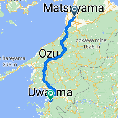
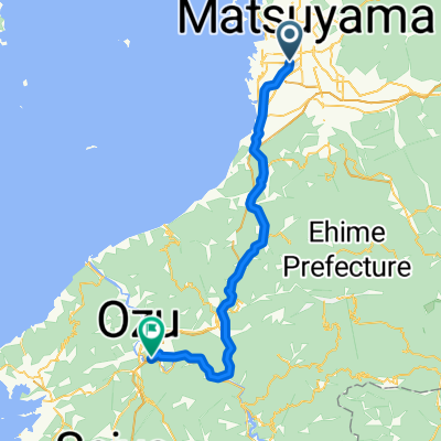
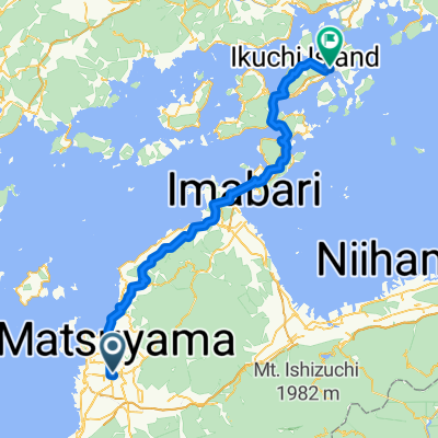
ХИРОСИМА - ТОКИО 888км
A cycling route starting in Matsuyama, Ehime, Japan.
Overview
About this route
- 71 h 41 min
- Duration
- 1,152.5 km
- Distance
- 13,595 m
- Ascent
- 13,606 m
- Descent
- 16.1 km/h
- Avg. speed
- 953 m
- Max. altitude
Route quality
Waytypes & surfaces along the route
Waytypes
Quiet road
737.6 km
(64 %)
Cycleway
195.9 km
(17 %)
Surfaces
Paved
219 km
(19 %)
Asphalt
126.8 km
(11 %)
Paved (undefined)
92.2 km
(8 %)
Undefined
933.5 km
(81 %)
Continue with Bikemap
Use, edit, or download this cycling route
You would like to ride ХИРОСИМА - ТОКИО 888км or customize it for your own trip? Here is what you can do with this Bikemap route:
Free features
- Save this route as favorite or in collections
- Copy & plan your own version of this route
- Split it into stages to create a multi-day tour
- Sync your route with Garmin or Wahoo
Premium features
Free trial for 3 days, or one-time payment. More about Bikemap Premium.
- Navigate this route on iOS & Android
- Export a GPX / KML file of this route
- Create your custom printout (try it for free)
- Download this route for offline navigation
Discover more Premium features.
Get Bikemap PremiumFrom our community
Other popular routes starting in Matsuyama
- 小摺瀨戶內跳島東遊記~Day 4
- Distance
- 90.6 km
- Ascent
- 596 m
- Descent
- 623 m
- Location
- Matsuyama, Ehime, Japan
- 小摺瀨戶內跳島東遊記~Day 3 part 2
- Distance
- 4.4 km
- Ascent
- 56 m
- Descent
- 24 m
- Location
- Matsuyama, Ehime, Japan
- Shikoku
- Distance
- 538.5 km
- Ascent
- 3,185 m
- Descent
- 3,136 m
- Location
- Matsuyama, Ehime, Japan
- 松山Matsuyama-新居浜Niihama P-D8
- Distance
- 90.5 km
- Ascent
- 350 m
- Descent
- 369 m
- Location
- Matsuyama, Ehime, Japan
- day 29.1. Shinkoku 2
- Distance
- 12.6 km
- Ascent
- 114 m
- Descent
- 93 m
- Location
- Matsuyama, Ehime, Japan
- Slow ride in
- Distance
- 49.4 km
- Ascent
- 8 m
- Descent
- 36 m
- Location
- Matsuyama, Ehime, Japan
- Etape 24 - Matsuyama/Beppu
- Distance
- 70.4 km
- Ascent
- 461 m
- Descent
- 522 m
- Location
- Matsuyama, Ehime, Japan
- shikoku
- Distance
- 207 km
- Ascent
- 765 m
- Descent
- 766 m
- Location
- Matsuyama, Ehime, Japan
Open it in the app