

Rahayu, Margaasih – d'OREGON HILLS
A cycling route starting in Margahayukencana, West Java, Indonesia.
Overview
About this route
- 1 h 2 min
- Duration
- 15.3 km
- Distance
- 201 m
- Ascent
- 29 m
- Descent
- 14.8 km/h
- Avg. speed
- 833 m
- Max. altitude

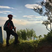
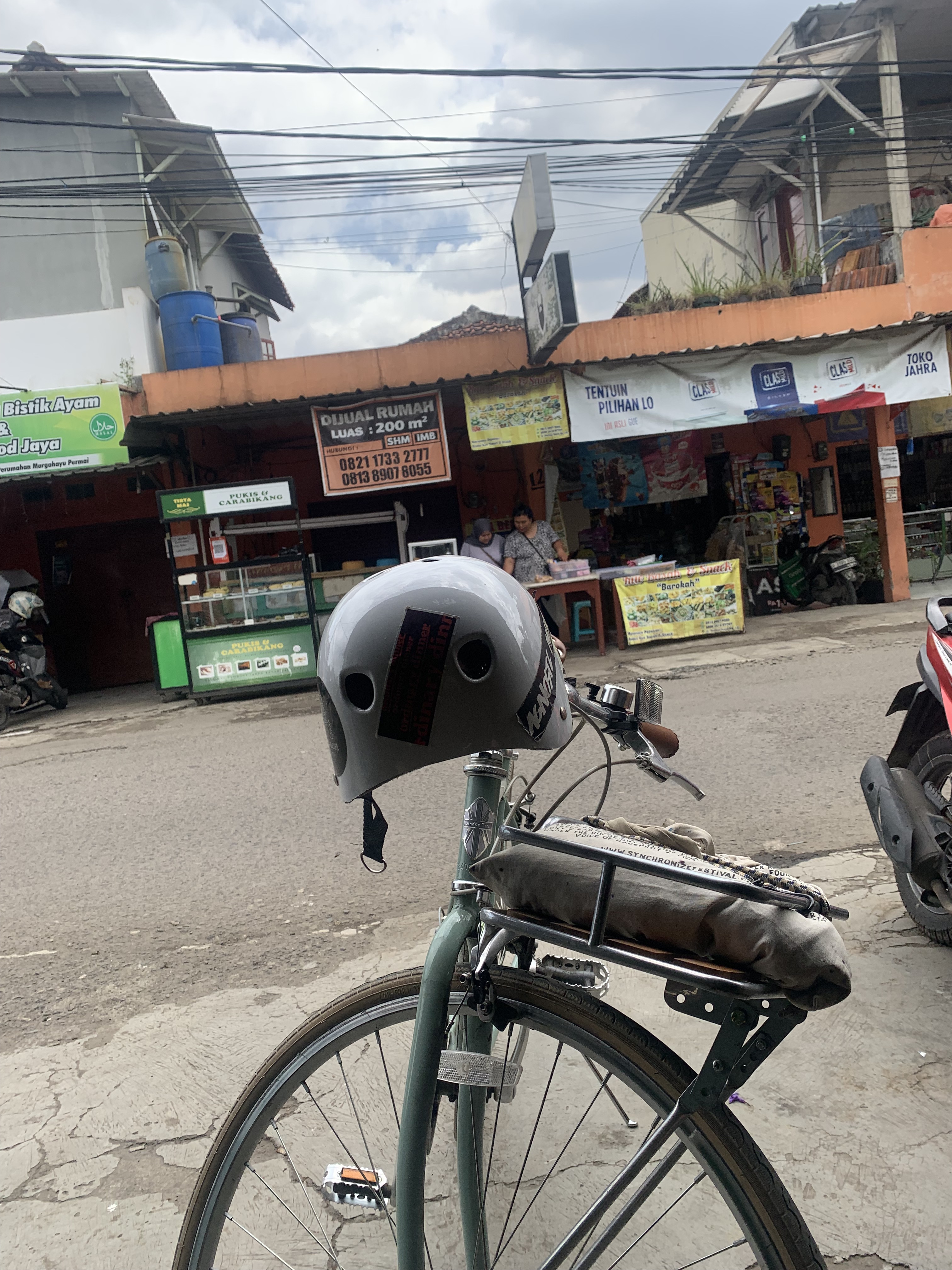
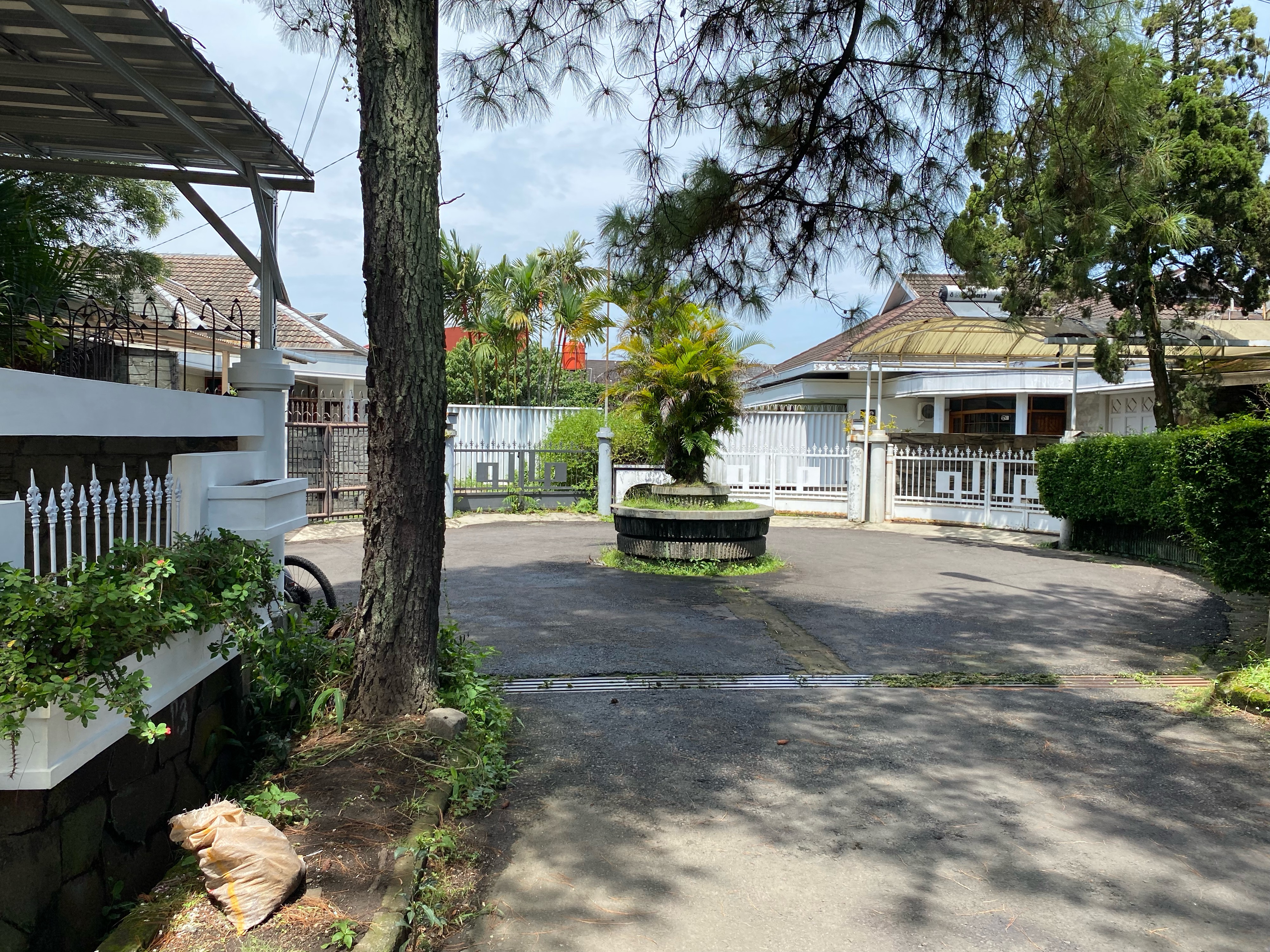
Route photos

Route quality
Waytypes & surfaces along the route
Waytypes
Cycleway
9.2 km
(60 %)
Road
1.2 km
(8 %)
Surfaces
Paved
3.2 km
(21 %)
Asphalt
3.2 km
(21 %)
Undefined
12.1 km
(79 %)
Continue with Bikemap
Use, edit, or download this cycling route
You would like to ride Rahayu, Margaasih – d'OREGON HILLS or customize it for your own trip? Here is what you can do with this Bikemap route:
Free features
- Save this route as favorite or in collections
- Copy & plan your own version of this route
- Sync your route with Garmin or Wahoo
Premium features
Free trial for 3 days, or one-time payment. More about Bikemap Premium.
- Navigate this route on iOS & Android
- Export a GPX / KML file of this route
- Create your custom printout (try it for free)
- Download this route for offline navigation
Discover more Premium features.
Get Bikemap PremiumFrom our community
Other popular routes starting in Margahayukencana
 PUNCAK TANGKUBAN PARAHU
- Distance
- 72.4 km
- Ascent
- 1,660 m
- Descent
- 1,662 m
- Location
- Margahayukencana, West Java, Indonesia
 Rumah Jamur
- Distance
- 40.7 km
- Ascent
- 1,292 m
- Descent
- 47 m
- Location
- Margahayukencana, West Java, Indonesia
 Jl Junti Kaler No. 43, Kabupaten Bandung to Jl. Ko Junti Asri No. M1-10, Kabupaten Bandung
- Distance
- 15.4 km
- Ascent
- 129 m
- Descent
- 127 m
- Location
- Margahayukencana, West Java, Indonesia
- Rahayu, Margaasih – d'OREGON HILLS
- Distance
- 15.3 km
- Ascent
- 201 m
- Descent
- 29 m
- Location
- Margahayukencana, West Java, Indonesia
 Margaasih - Jl. Raya Lembang
- Distance
- 23.4 km
- Ascent
- 604 m
- Descent
- 31 m
- Location
- Margahayukencana, West Java, Indonesia
 Jl. Ko Junti Asri No. M1-9, Kabupaten Bandung to Jl. Ko Junti Asri No. M1-9, Kabupaten Bandung
- Distance
- 9.7 km
- Ascent
- 53 m
- Descent
- 51 m
- Location
- Margahayukencana, West Java, Indonesia
 Kawah Tangkuban Parahu lewat Sukawana
- Distance
- 65.9 km
- Ascent
- 1,385 m
- Descent
- 1,381 m
- Location
- Margahayukencana, West Java, Indonesia
 Rahayu, Margaasih – Jl. Meleber.
- Distance
- 6.5 km
- Ascent
- 55 m
- Descent
- 0 m
- Location
- Margahayukencana, West Java, Indonesia
Open it in the app