
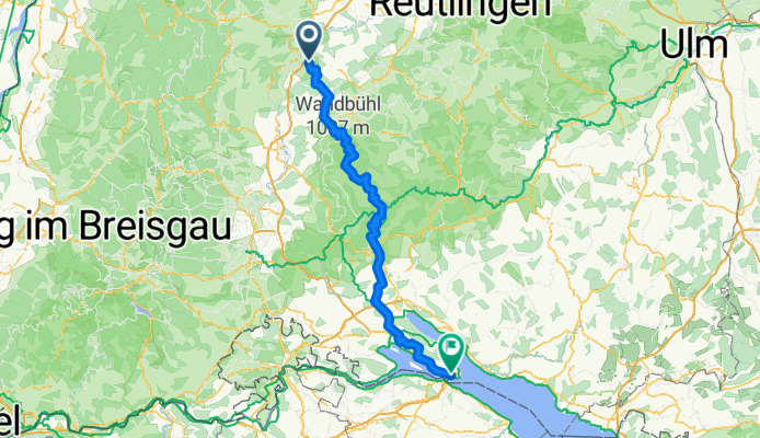
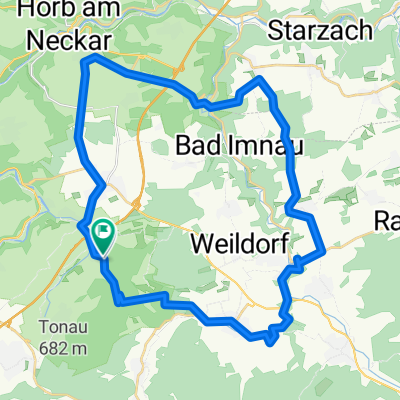
Konstanz/Renfrizhausen
A cycling route starting in Mühlheim am Bach, Baden-Württemberg, Germany.
Overview
About this route
- -:--
- Duration
- 134.6 km
- Distance
- 2,396 m
- Ascent
- 2,378 m
- Descent
- ---
- Avg. speed
- 980 m
- Avg. speed
Route quality
Waytypes & surfaces along the route
Waytypes
Road
37 km
(27 %)
Track
31.2 km
(23 %)
Surfaces
Paved
80.9 km
(60 %)
Unpaved
23.7 km
(18 %)
Asphalt
73.6 km
(55 %)
Gravel
17.1 km
(13 %)
Route highlights
Points of interest along the route
Point of interest after 52.4 km
ABKÜRZUNG
Point of interest after 53.5 km
Abkürzung
Point of interest after 53.6 km
ABKÜRZUNG
Continue with Bikemap
Use, edit, or download this cycling route
You would like to ride Konstanz/Renfrizhausen or customize it for your own trip? Here is what you can do with this Bikemap route:
Free features
- Save this route as favorite or in collections
- Copy & plan your own version of this route
- Split it into stages to create a multi-day tour
- Sync your route with Garmin or Wahoo
Premium features
Free trial for 3 days, or one-time payment. More about Bikemap Premium.
- Navigate this route on iOS & Android
- Export a GPX / KML file of this route
- Create your custom printout (try it for free)
- Download this route for offline navigation
Discover more Premium features.
Get Bikemap PremiumFrom our community
Other popular routes starting in Mühlheim am Bach
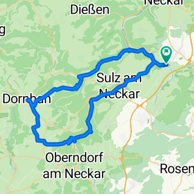 Gerokstraße 8/1, Sulz am Neckar nach Gerokstraße 8/1, Sulz am Neckar
- Distance
- 44.4 km
- Ascent
- 423 m
- Descent
- 422 m
- Location
- Mühlheim am Bach, Baden-Württemberg, Germany
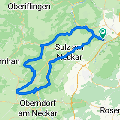 Neckartal rundweg
- Distance
- 41.7 km
- Ascent
- 418 m
- Descent
- 419 m
- Location
- Mühlheim am Bach, Baden-Württemberg, Germany
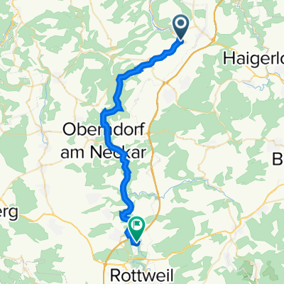 Neckarradweg Fischingen Rottweil
- Distance
- 31.6 km
- Ascent
- 457 m
- Descent
- 338 m
- Location
- Mühlheim am Bach, Baden-Württemberg, Germany
 Renf/Feldorf 40km 460hm
- Distance
- 39.6 km
- Ascent
- 453 m
- Descent
- 459 m
- Location
- Mühlheim am Bach, Baden-Württemberg, Germany
 rennrad route1
- Distance
- 38.7 km
- Ascent
- 414 m
- Descent
- 414 m
- Location
- Mühlheim am Bach, Baden-Württemberg, Germany
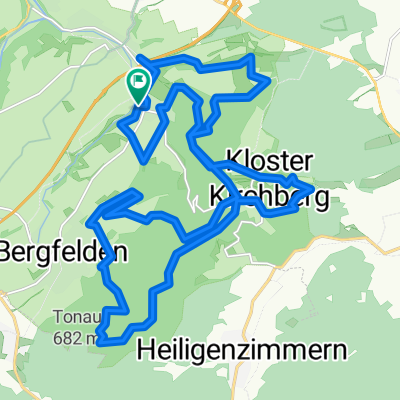 2.09.2013
- Distance
- 28.2 km
- Ascent
- 559 m
- Descent
- 557 m
- Location
- Mühlheim am Bach, Baden-Württemberg, Germany
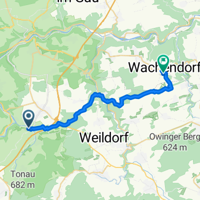 Mühlheim-Wachendorf
- Distance
- 18.1 km
- Ascent
- 306 m
- Descent
- 260 m
- Location
- Mühlheim am Bach, Baden-Württemberg, Germany
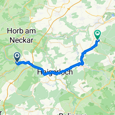 Schloßbergstraße nach Hechinger Straße
- Distance
- 35.1 km
- Ascent
- 416 m
- Descent
- 466 m
- Location
- Mühlheim am Bach, Baden-Württemberg, Germany
Open it in the app