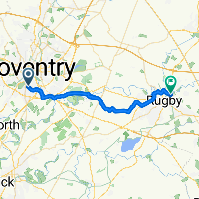
Town Wall Tavern to Leighfield Road
- 8.3 km
- 61 m
- 58 m
- Coventry, England, United Kingdom
A cycling route starting in Coventry, England, United Kingdom.
Overview
created this 7 months ago
Continue with Bikemap
You would like to ride Route in Coventry or customize it for your own trip? Here is what you can do with this Bikemap route:
Free trial for 3 days, or one-time payment. More about Bikemap Premium.
Discover more Premium features.
Get Bikemap PremiumFrom our community
Open it in the app