
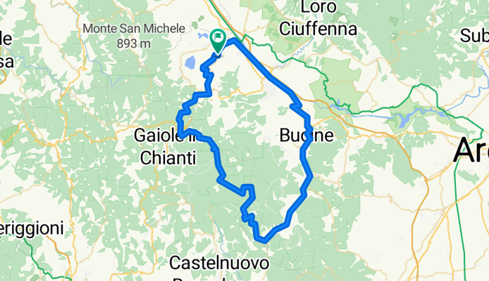
Enduro pesante,verso la sorgente
A cycling route starting in Vacchereccia, Tuscany, Italy.
Overview
About this route
- 5 h 14 min
- Duration
- 74.4 km
- Distance
- 1,315 m
- Ascent
- 1,352 m
- Descent
- 14.2 km/h
- Avg. speed
- 783 m
- Max. altitude
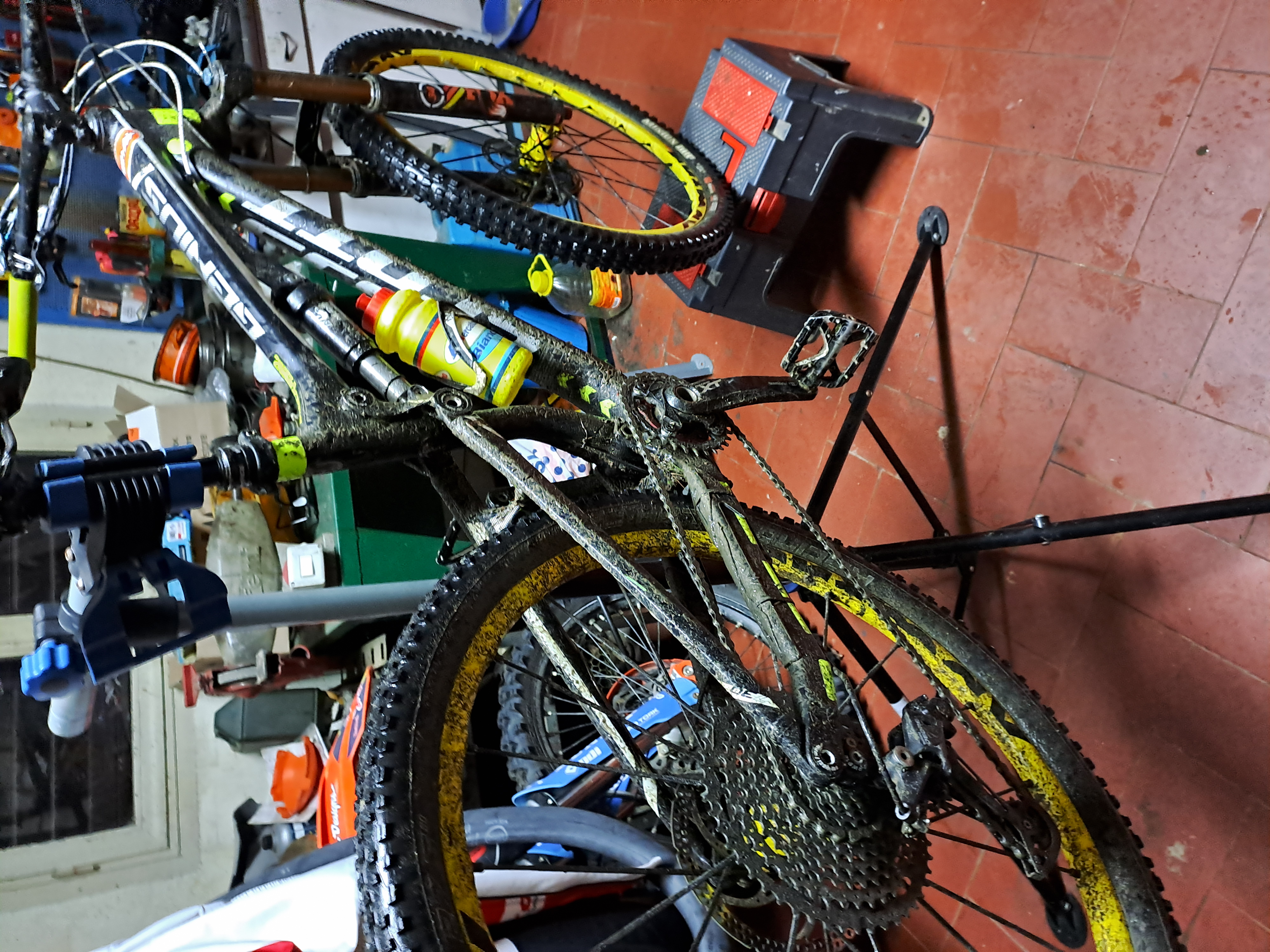
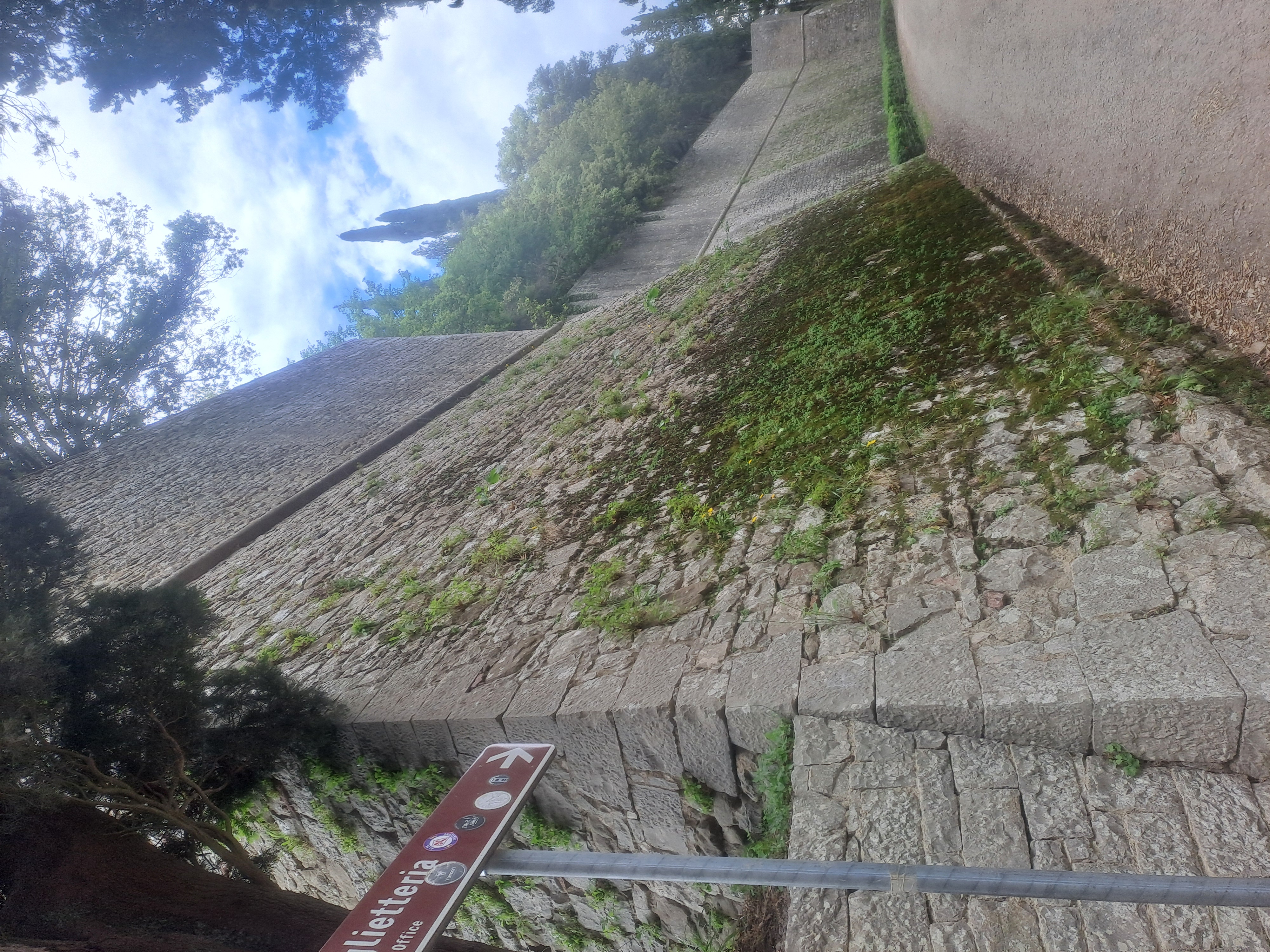
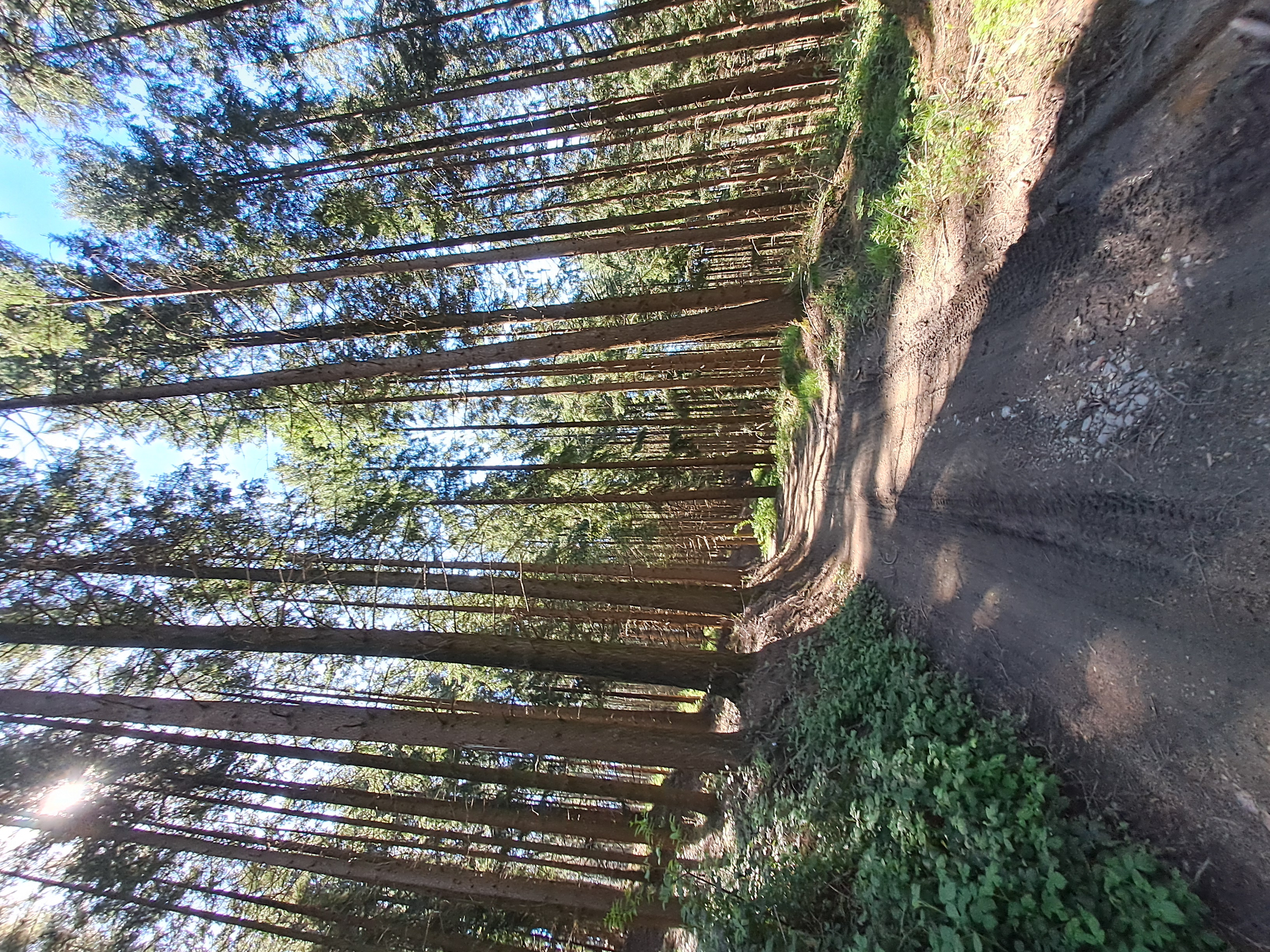
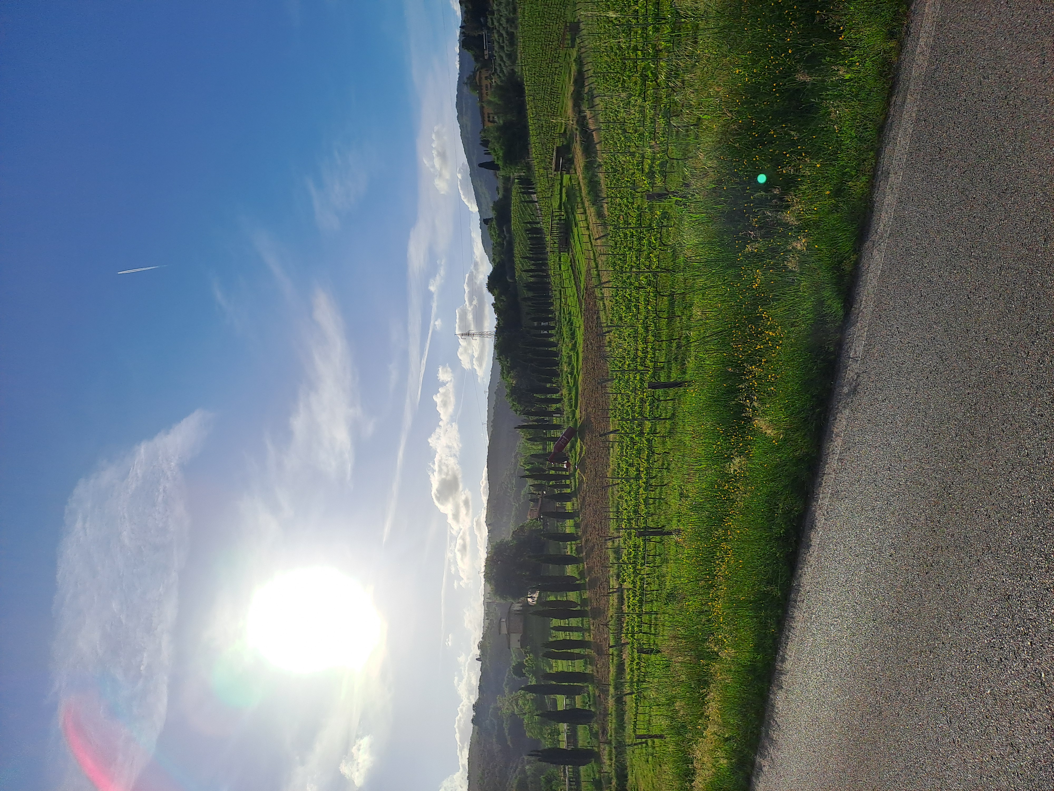
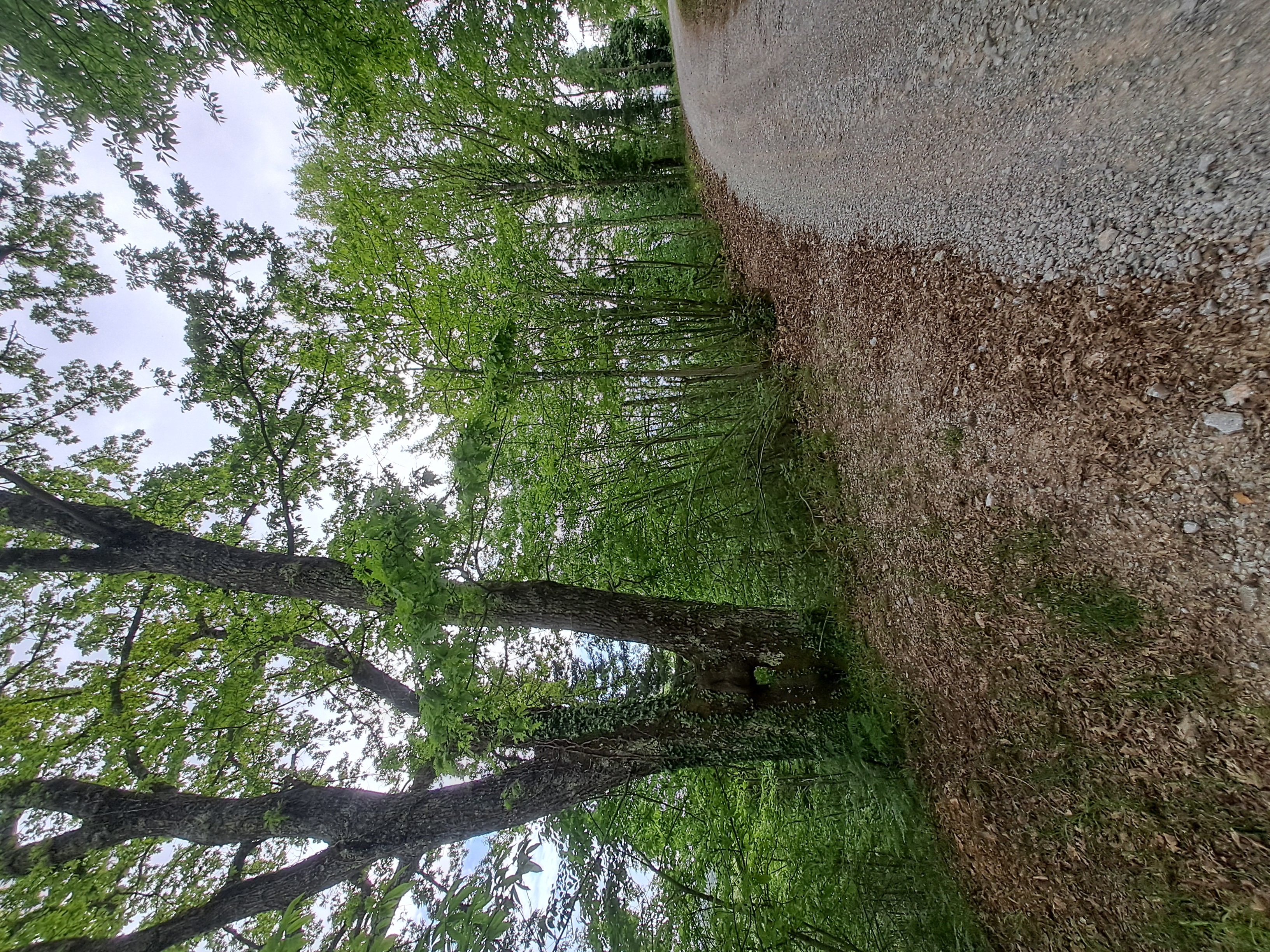
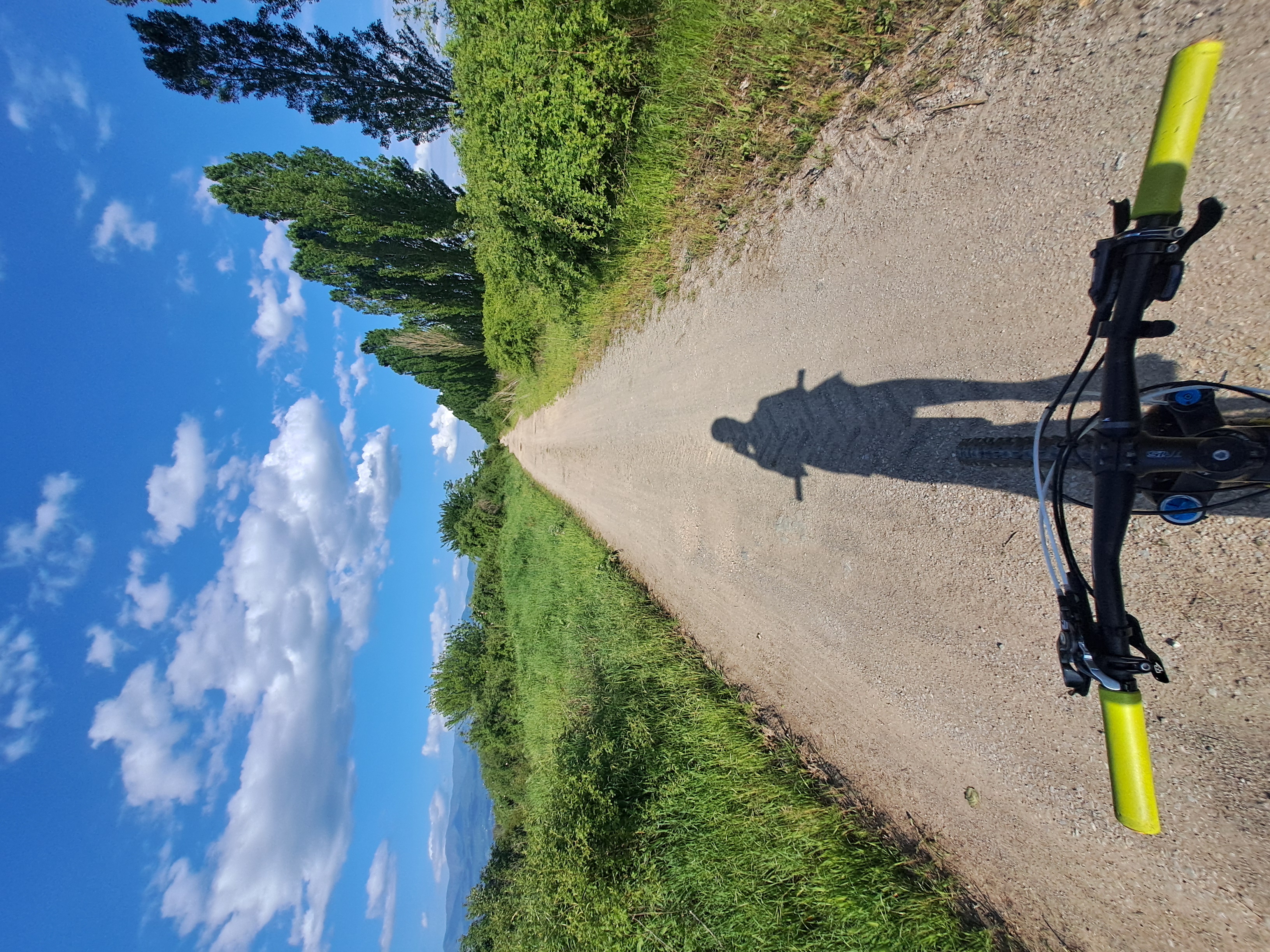
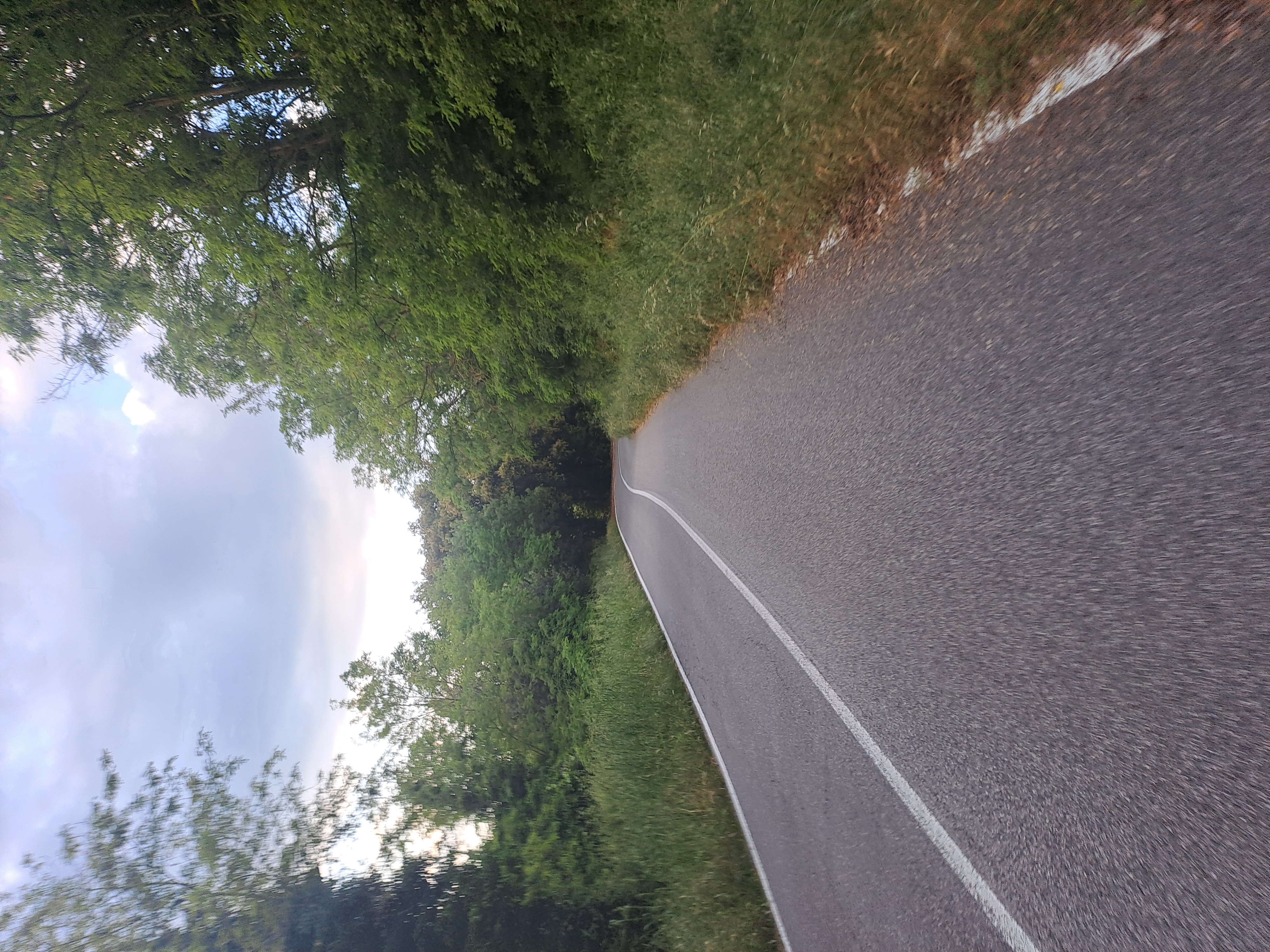
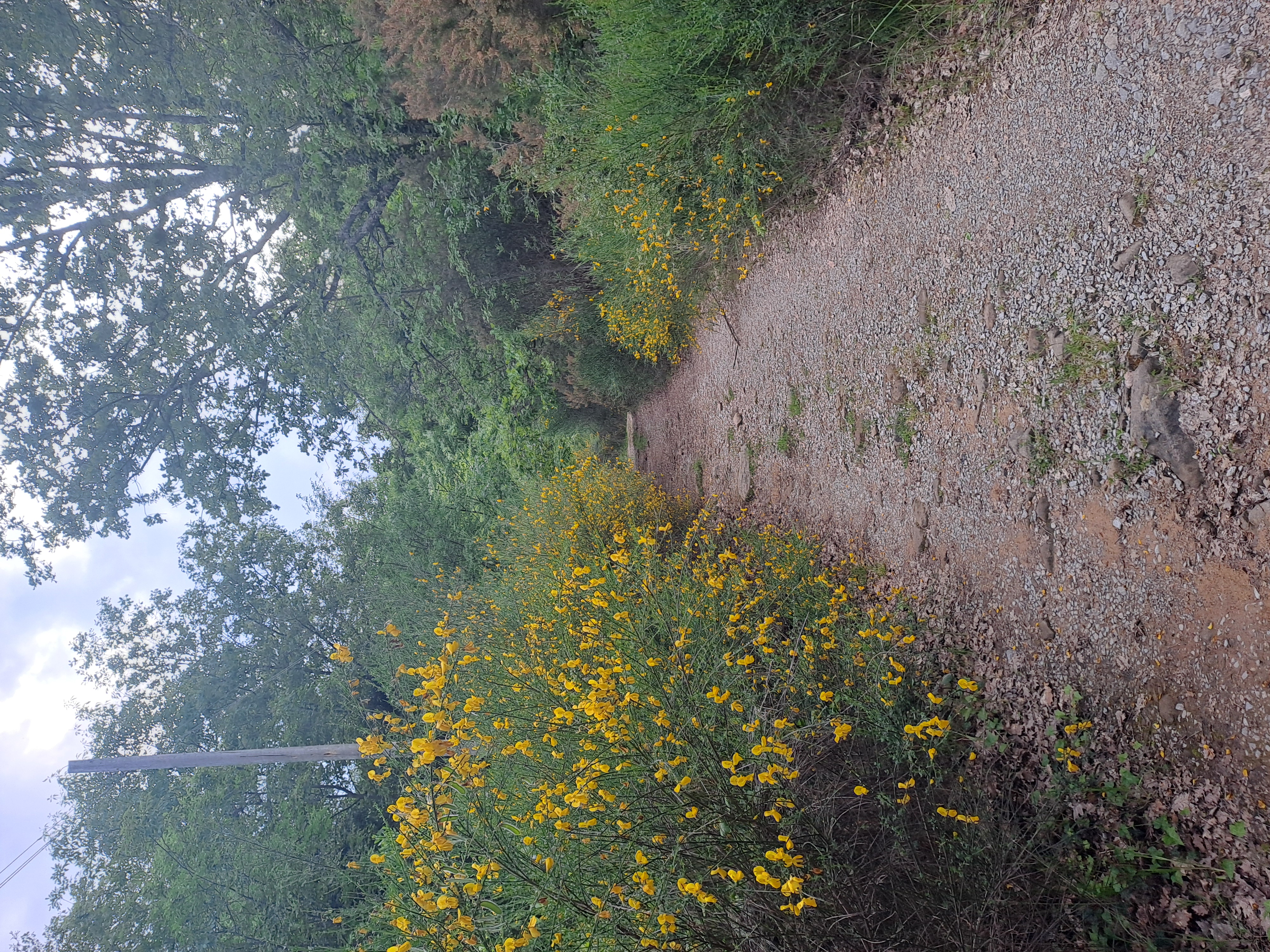
Route photos

Route quality
Waytypes & surfaces along the route
Waytypes
Track
26.1 km
(35 %)
Busy road
17.3 km
(23 %)
Surfaces
Paved
20.9 km
(28 %)
Unpaved
30.3 km
(41 %)
Unpaved (undefined)
16.1 km
(22 %)
Paved (undefined)
12.6 km
(17 %)
Continue with Bikemap
Use, edit, or download this cycling route
You would like to ride Enduro pesante,verso la sorgente or customize it for your own trip? Here is what you can do with this Bikemap route:
Free features
- Save this route as favorite or in collections
- Copy & plan your own version of this route
- Sync your route with Garmin or Wahoo
Premium features
Free trial for 3 days, or one-time payment. More about Bikemap Premium.
- Navigate this route on iOS & Android
- Export a GPX / KML file of this route
- Create your custom printout (try it for free)
- Download this route for offline navigation
Discover more Premium features.
Get Bikemap PremiumFrom our community
Other popular routes starting in Vacchereccia
 Castello di Brolio to San Gusmè
- Distance
- 86.6 km
- Ascent
- 1,766 m
- Descent
- 1,804 m
- Location
- Vacchereccia, Tuscany, Italy
 Chianti Classico
- Distance
- 73.9 km
- Ascent
- 1,585 m
- Descent
- 1,638 m
- Location
- Vacchereccia, Tuscany, Italy
- Enduro pesante,verso la sorgente
- Distance
- 74.4 km
- Ascent
- 1,315 m
- Descent
- 1,352 m
- Location
- Vacchereccia, Tuscany, Italy
 passo del martedi (06/05)
- Distance
- 38.5 km
- Ascent
- 453 m
- Descent
- 504 m
- Location
- Vacchereccia, Tuscany, Italy
 Badia to MonteLuco to Moncioni
- Distance
- 64.3 km
- Ascent
- 1,204 m
- Descent
- 1,250 m
- Location
- Vacchereccia, Tuscany, Italy
 ortiche 28/04
- Distance
- 37.8 km
- Ascent
- 554 m
- Descent
- 597 m
- Location
- Vacchereccia, Tuscany, Italy
 7 ponti, sole e pioggia
- Distance
- 46.4 km
- Ascent
- 461 m
- Descent
- 515 m
- Location
- Vacchereccia, Tuscany, Italy
 Badia, toccata e fuga
- Distance
- 28.3 km
- Ascent
- 642 m
- Descent
- 688 m
- Location
- Vacchereccia, Tuscany, Italy
Open it in the app