


Andancette Sablons et plus loin
- 37.4 km
- 32 m
- 34 m
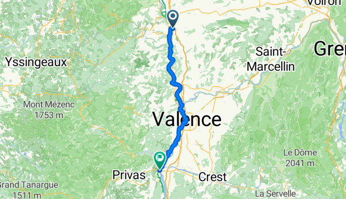
- Andancette, Auvergne-Rhône-Alpes, France
A cycling route starting in Andancette, Auvergne-Rhône-Alpes, France.
Overview
created this 7 months ago
Route quality
Cycleway
47.3 km
(60 %)
Quiet road
15.8 km
(20 %)
Paved
44.1 km
(56 %)
Unpaved
9.5 km
(12 %)
Asphalt
43.3 km
(55 %)
Loose gravel
4.7 km
(6 %)
Continue with Bikemap
You would like to ride Saint Rambert d'Albon - Le Pouzin or customize it for your own trip? Here is what you can do with this Bikemap route:
Free trial for 3 days, or one-time payment. More about Bikemap Premium.
Discover more Premium features.
Get Bikemap PremiumFrom our community
Open it in the app


