

Unbenannte Route
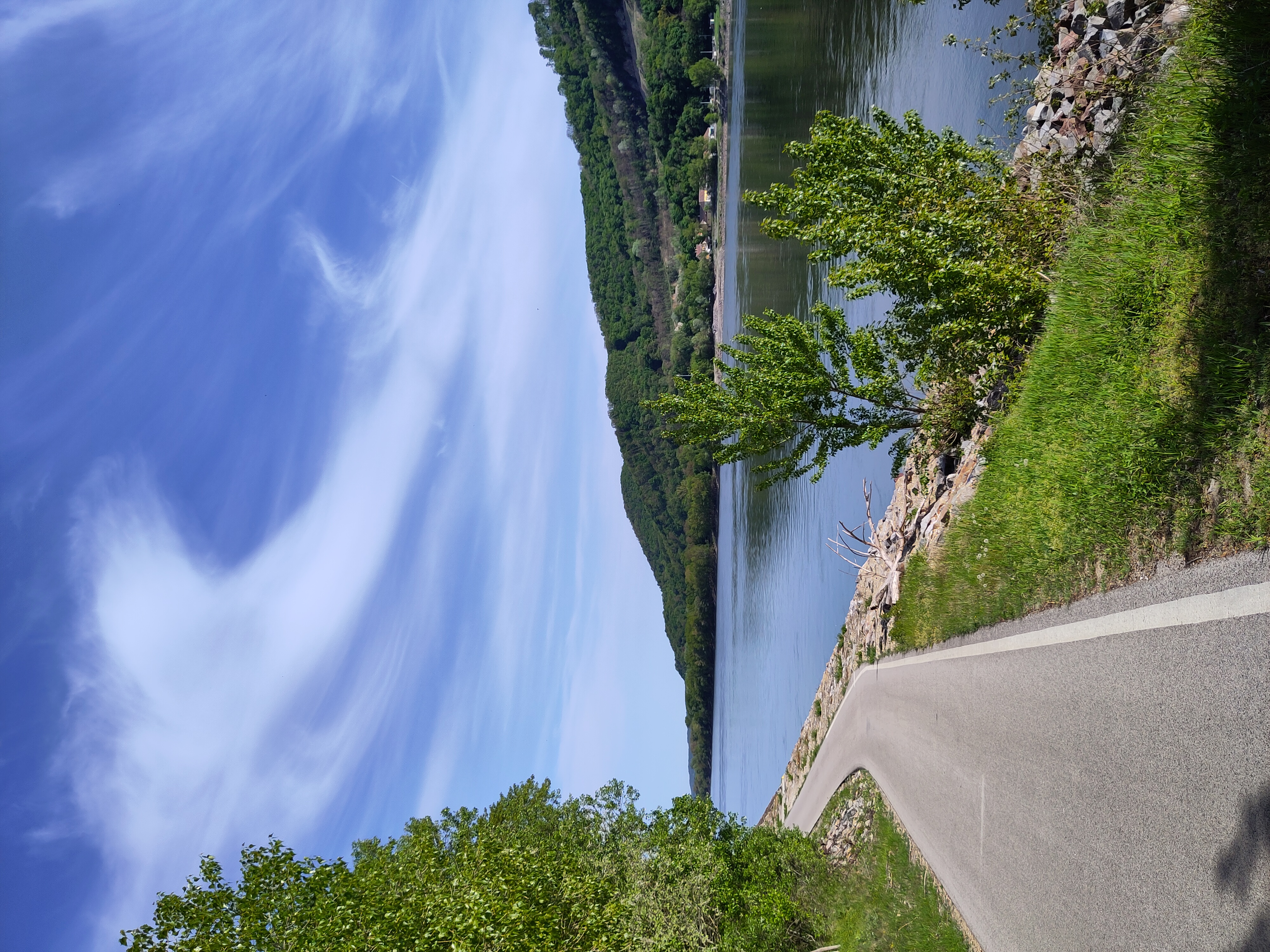
A cycling route starting in Stockerau, Lower Austria, Austria.
Overview
About this route
- 49 h 36 min
- Duration
- 804.9 km
- Distance
- 6,824 m
- Ascent
- 6,997 m
- Descent
- 16.2 km/h
- Avg. speed
- 1,043 m
- Max. altitude
Route quality
Waytypes & surfaces along the route
Waytypes
Cycleway
343.1 km
(43 %)
Quiet road
274.3 km
(34 %)
Surfaces
Paved
546.6 km
(68 %)
Unpaved
58.4 km
(7 %)
Asphalt
521.9 km
(65 %)
Gravel
42.7 km
(5 %)
Continue with Bikemap
Use, edit, or download this cycling route
You would like to ride Unbenannte Route or customize it for your own trip? Here is what you can do with this Bikemap route:
Free features
- Save this route as favorite or in collections
- Copy & plan your own version of this route
- Split it into stages to create a multi-day tour
- Sync your route with Garmin or Wahoo
Premium features
Free trial for 3 days, or one-time payment. More about Bikemap Premium.
- Navigate this route on iOS & Android
- Export a GPX / KML file of this route
- Create your custom printout (try it for free)
- Download this route for offline navigation
Discover more Premium features.
Get Bikemap PremiumFrom our community
Other popular routes starting in Stockerau
 Tumulus Radrunde
- Distance
- 71.3 km
- Ascent
- 456 m
- Descent
- 456 m
- Location
- Stockerau, Lower Austria, Austria
 Stage 2: Flo-rida’s Dorf to Schönberg
- Distance
- 49.8 km
- Ascent
- 194 m
- Descent
- 165 m
- Location
- Stockerau, Lower Austria, Austria
 Stockerau - Wien. Der Au-graveler am Wasser.
- Distance
- 34.9 km
- Ascent
- 125 m
- Descent
- 180 m
- Location
- Stockerau, Lower Austria, Austria
 getting lost around stockerau
- Distance
- 22.5 km
- Ascent
- 110 m
- Descent
- 113 m
- Location
- Stockerau, Lower Austria, Austria
 Weinviertel Donau Route FINAL
- Distance
- 53.3 km
- Ascent
- 329 m
- Descent
- 328 m
- Location
- Stockerau, Lower Austria, Austria
 Stockerau - Buschberg
- Distance
- 76.6 km
- Ascent
- 671 m
- Descent
- 667 m
- Location
- Stockerau, Lower Austria, Austria
 Sonntagsausfahrt
- Distance
- 114.2 km
- Ascent
- 303 m
- Descent
- 302 m
- Location
- Stockerau, Lower Austria, Austria
 Stockerau - Sierndorf - Karnabrunn - Weinsteig - Mollmannstdorf - Leobendorf
- Distance
- 57 km
- Ascent
- 345 m
- Descent
- 345 m
- Location
- Stockerau, Lower Austria, Austria
Open it in the app