

P-Biel/Corgémont/Orvin/Biel (Bridge of the Anabaptists) 40km
A cycling route starting in Biel/Bienne, Canton of Bern, Switzerland.
Overview
About this route
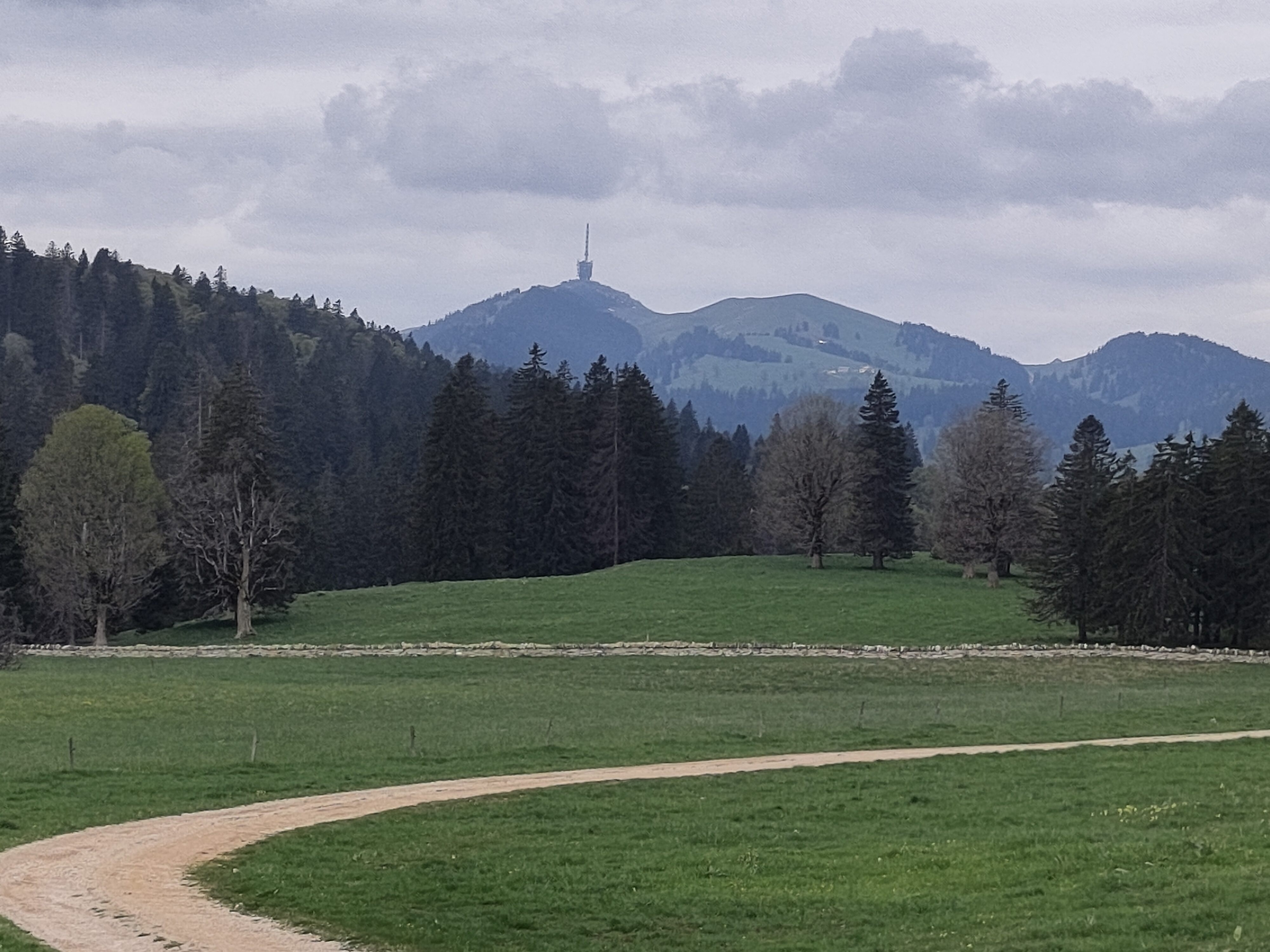
Very nice route with 1700 mt of climb, in 40 km. The most difficult and longest climb is the one from Corgémont to Place Centrale (Les Prés-d'Orvin): it's around 8.5% average and with some parts at 11-12%. Almost at the end of the climb, stop at the "Bridge of the Anabaptists", to take some photos and read the history of the bridge.
- 2 h 59 min
- Duration
- 40.4 km
- Distance
- 1,718 m
- Ascent
- 1,717 m
- Descent
- 13.5 km/h
- Avg. speed
- 1,288 m
- Max. altitude

Route quality
Waytypes & surfaces along the route
Waytypes
Quiet road
13.8 km
(34 %)
Access road
5.5 km
(14 %)
Surfaces
Paved
22.1 km
(55 %)
Asphalt
17.2 km
(42 %)
Paved (undefined)
4.9 km
(12 %)
Undefined
18.3 km
(45 %)
Continue with Bikemap
Use, edit, or download this cycling route
You would like to ride P-Biel/Corgémont/Orvin/Biel (Bridge of the Anabaptists) 40km or customize it for your own trip? Here is what you can do with this Bikemap route:
Free features
- Save this route as favorite or in collections
- Copy & plan your own version of this route
- Sync your route with Garmin or Wahoo
Premium features
Free trial for 3 days, or one-time payment. More about Bikemap Premium.
- Navigate this route on iOS & Android
- Export a GPX / KML file of this route
- Create your custom printout (try it for free)
- Download this route for offline navigation
Discover more Premium features.
Get Bikemap PremiumFrom our community
Other popular routes starting in Biel/Bienne
 De Quai du Bas 1, Biel/Bienne à Quai du Bas 1, Biel/Bienne
- Distance
- 15.3 km
- Ascent
- 644 m
- Descent
- 647 m
- Location
- Biel/Bienne, Canton of Bern, Switzerland
 Biel - Saisselin - Jobert - Biel
- Distance
- 38.5 km
- Ascent
- 1,292 m
- Descent
- 1,293 m
- Location
- Biel/Bienne, Canton of Bern, Switzerland
 P-Biel/Grenchen/Plagne (31km)
- Distance
- 30.9 km
- Ascent
- 538 m
- Descent
- 536 m
- Location
- Biel/Bienne, Canton of Bern, Switzerland
 47°Nord Tour de Suisse Etappe 1
- Distance
- 91.5 km
- Ascent
- 225 m
- Descent
- 172 m
- Location
- Biel/Bienne, Canton of Bern, Switzerland
 P-Biel/Aetigkofen (70km)
- Distance
- 70.4 km
- Ascent
- 753 m
- Descent
- 749 m
- Location
- Biel/Bienne, Canton of Bern, Switzerland
 Biel-Gurnigel
- Distance
- 140.6 km
- Ascent
- 1,682 m
- Descent
- 1,681 m
- Location
- Biel/Bienne, Canton of Bern, Switzerland
 P-Biel/Corgémont/Orvin/Biel (Bridge of the Anabaptists) 40km
- Distance
- 40.4 km
- Ascent
- 1,718 m
- Descent
- 1,717 m
- Location
- Biel/Bienne, Canton of Bern, Switzerland
 P-Biel/Twann/Lignières/CHASSERAL/Nods/Orvin/Evilard (62 km)
- Distance
- 62.8 km
- Ascent
- 1,389 m
- Descent
- 1,386 m
- Location
- Biel/Bienne, Canton of Bern, Switzerland
Open it in the app