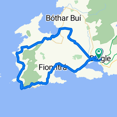
R559, Ballydavid à Cosán na Naomh, Ballydavid
- 48.1 km
- 867 m
- 797 m
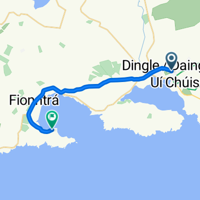
- Dingle, Munster, Ireland
A cycling route starting in Dingle, Munster, Ireland.
Overview
created this 7 months ago
Route quality
Quiet road
22.6 km
(47 %)
Track
2.9 km
(6 %)
Paved
11.5 km
(24 %)
Unpaved
2.9 km
(6 %)
Asphalt
11.1 km
(23 %)
Gravel
1.4 km
(3 %)
Continue with Bikemap
You would like to ride R559, Ballydavid à Cosán na Naomh, Ballydavid or customize it for your own trip? Here is what you can do with this Bikemap route:
Free trial for 3 days, or one-time payment. More about Bikemap Premium.
Discover more Premium features.
Get Bikemap PremiumFrom our community
Open it in the app