
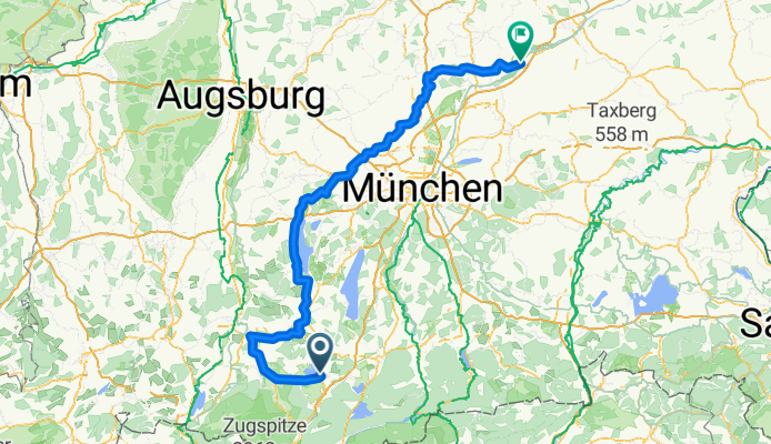
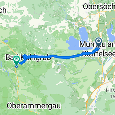
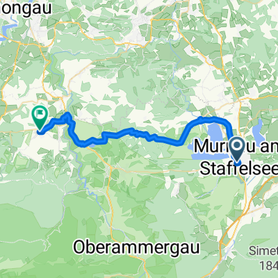
Ammer-Amper-Radweg
A cycling route starting in Murnau am Staffelsee, Bavaria, Germany.
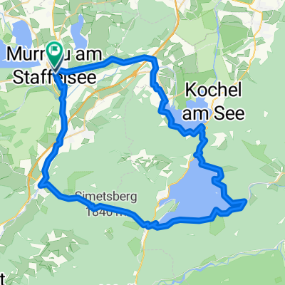
Overview
About this route
- 13 h 55 min
- Duration
- 199.4 km
- Distance
- 1,270 m
- Ascent
- 1,544 m
- Descent
- 14.3 km/h
- Avg. speed
- 884 m
- Max. altitude

Route quality
Waytypes & surfaces along the route
Waytypes
Quiet road
75.8 km
(38 %)
Track
69.8 km
(35 %)
Surfaces
Paved
125.6 km
(63 %)
Unpaved
51.8 km
(26 %)
Asphalt
117.6 km
(59 %)
Gravel
45.9 km
(23 %)
Continue with Bikemap
Use, edit, or download this cycling route
You would like to ride Ammer-Amper-Radweg or customize it for your own trip? Here is what you can do with this Bikemap route:
Free features
- Save this route as favorite or in collections
- Copy & plan your own version of this route
- Split it into stages to create a multi-day tour
- Sync your route with Garmin or Wahoo
Premium features
Free trial for 3 days, or one-time payment. More about Bikemap Premium.
- Navigate this route on iOS & Android
- Export a GPX / KML file of this route
- Create your custom printout (try it for free)
- Download this route for offline navigation
Discover more Premium features.
Get Bikemap PremiumFrom our community
Other popular routes starting in Murnau am Staffelsee
 Wildsteig - Rettenberg
- Distance
- 67.8 km
- Ascent
- 1,081 m
- Descent
- 815 m
- Location
- Murnau am Staffelsee, Bavaria, Germany
 Staffelsee und Riegsee ohne Sumpf
- Distance
- 38.2 km
- Ascent
- 248 m
- Descent
- 252 m
- Location
- Murnau am Staffelsee, Bavaria, Germany
 Saulgrub-Ammergau-Garm-Wallgau-Kochel
- Distance
- 102 km
- Ascent
- 818 m
- Descent
- 841 m
- Location
- Murnau am Staffelsee, Bavaria, Germany
 Ammer-Amper-Radweg
- Distance
- 199.4 km
- Ascent
- 1,270 m
- Descent
- 1,544 m
- Location
- Murnau am Staffelsee, Bavaria, Germany
 Bilderbuchdörfer im Pfaffenwinkel
- Distance
- 46.3 km
- Ascent
- 650 m
- Descent
- 644 m
- Location
- Murnau am Staffelsee, Bavaria, Germany
 Murnau am Staffelsee - Saulgrub
- Distance
- 16.6 km
- Ascent
- 375 m
- Descent
- 181 m
- Location
- Murnau am Staffelsee, Bavaria, Germany
 Kandinskyweg, Murnau am Staffelsee nach Kirchbergstraße, Wildsteig
- Distance
- 31.6 km
- Ascent
- 503 m
- Descent
- 300 m
- Location
- Murnau am Staffelsee, Bavaria, Germany
 Dicke Walchenseerunde von Murnau aus
- Distance
- 58.9 km
- Ascent
- 678 m
- Descent
- 678 m
- Location
- Murnau am Staffelsee, Bavaria, Germany
Open it in the app