

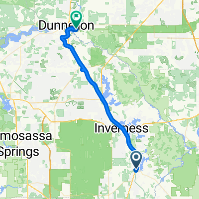
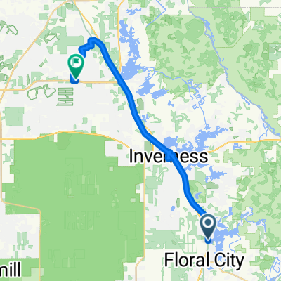
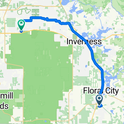
Withlacoochee State Trail, Floral City to Croom Rital Rd, Brooksville
A cycling route starting in Floral City, Florida, United States.
Overview
About this route
- 58 min
- Duration
- 13.3 km
- Distance
- 68 m
- Ascent
- 68 m
- Descent
- 13.8 km/h
- Avg. speed
- 26 m
- Max. altitude

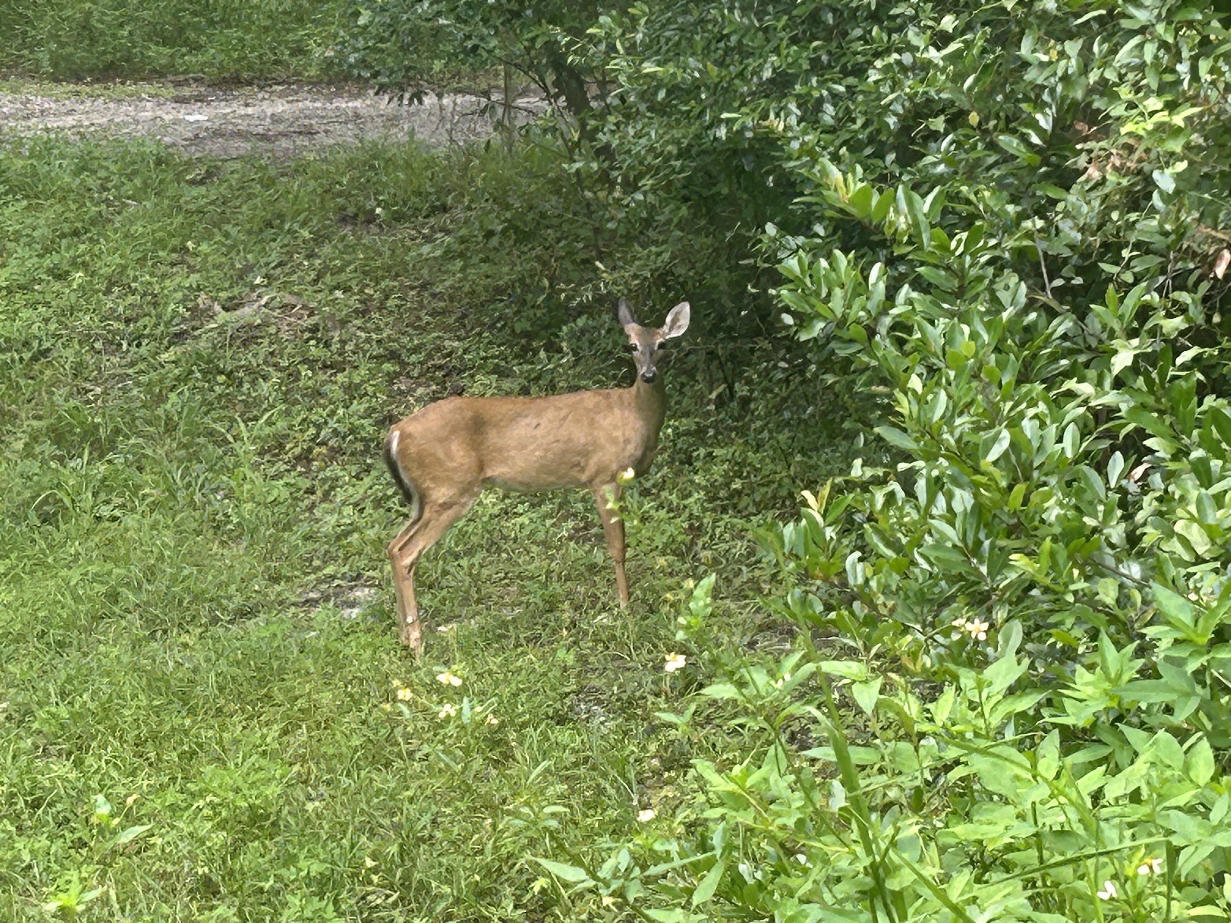
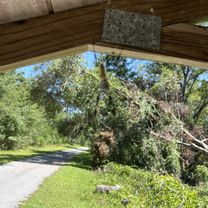
Route photos


Route quality
Waytypes & surfaces along the route
Waytypes
Cycleway
11.8 km
(89 %)
Track
1.5 km
(11 %)
Surfaces
Paved
12.6 km
(95 %)
Paved (undefined)
12.6 km
(95 %)
Undefined
0.7 km
(5 %)
Continue with Bikemap
Use, edit, or download this cycling route
You would like to ride Withlacoochee State Trail, Floral City to Croom Rital Rd, Brooksville or customize it for your own trip? Here is what you can do with this Bikemap route:
Free features
- Save this route as favorite or in collections
- Copy & plan your own version of this route
- Sync your route with Garmin or Wahoo
Premium features
Free trial for 3 days, or one-time payment. More about Bikemap Premium.
- Navigate this route on iOS & Android
- Export a GPX / KML file of this route
- Create your custom printout (try it for free)
- Download this route for offline navigation
Discover more Premium features.
Get Bikemap PremiumFrom our community
Other popular routes starting in Floral City
 Withlacoochee State Trail, Floral City to Withlacoochee State Trail, Brooksville
- Distance
- 19.9 km
- Ascent
- 104 m
- Descent
- 103 m
- Location
- Floral City, Florida, United States
 Withlacoochee State Trail, Floral City to Withlacoochee State Trail, Floral City
- Distance
- 1.7 km
- Ascent
- 15 m
- Descent
- 19 m
- Location
- Floral City, Florida, United States
 Withlacoochee State Trail, Floral City to Withlacoochee State Trail, Brooksville
- Distance
- 20.2 km
- Ascent
- 146 m
- Descent
- 148 m
- Location
- Floral City, Florida, United States
 S Old Floral City Rd, Floral City to S Bridges Rd, Dunnellon
- Distance
- 48 km
- Ascent
- 158 m
- Descent
- 164 m
- Location
- Floral City, Florida, United States
 10733 E Gobbler Dr, Floral City to 101–125 W Main St, Mayo
- Distance
- 203 km
- Ascent
- 1,379 m
- Descent
- 1,379 m
- Location
- Floral City, Florida, United States
 E Kabrich Ln, Floral City to N Trucks Ave, Hernando
- Distance
- 30.3 km
- Ascent
- 61 m
- Descent
- 60 m
- Location
- Floral City, Florida, United States
- Withlacoochee State Trail, Floral City to Croom Rital Rd, Brooksville
- Distance
- 13.3 km
- Ascent
- 68 m
- Descent
- 68 m
- Location
- Floral City, Florida, United States
 E Floral Park Dr, Floral City to S Easy St, Lecanto
- Distance
- 32.4 km
- Ascent
- 194 m
- Descent
- 176 m
- Location
- Floral City, Florida, United States
Open it in the app