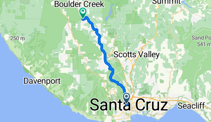
High St, Santa Cruz to Clear Creek Rd, Brookdale
A cycling route starting in Santa Cruz, California, United States of America.
Overview
About this route
- 41 min
- Duration
- 20.2 km
- Distance
- 316 m
- Ascent
- 150 m
- Descent
- 29.3 km/h
- Avg. speed
- 212 m
- Avg. speed
Route quality
Waytypes & surfaces along the route
Waytypes
Busy road
18.4 km
(91 %)
Quiet road
0.9 km
(4 %)
Surfaces
Paved
19.4 km
(96 %)
Asphalt
19.3 km
(96 %)
Concrete
0.1 km
(<1 %)
Undefined
0.8 km
(4 %)
Continue with Bikemap
Use, edit, or download this cycling route
You would like to ride High St, Santa Cruz to Clear Creek Rd, Brookdale or customize it for your own trip? Here is what you can do with this Bikemap route:
Free features
- Save this route as favorite or in collections
- Copy & plan your own version of this route
- Sync your route with Garmin or Wahoo
Premium features
Free trial for 3 days, or one-time payment. More about Bikemap Premium.
- Navigate this route on iOS & Android
- Export a GPX / KML file of this route
- Create your custom printout (try it for free)
- Download this route for offline navigation
Discover more Premium features.
Get Bikemap PremiumFrom our community
Other popular routes starting in Santa Cruz
- 2020-05-02 (Extended Route)
- Distance
- 17 km
- Ascent
- 98 m
- Descent
- 98 m
- Location
- Santa Cruz, California, United States of America
- 2020-04-15 Bike ride
- Distance
- 14 km
- Ascent
- 55 m
- Descent
- 59 m
- Location
- Santa Cruz, California, United States of America
- Branciforte-Old San Jose Rd.-East Cliff Drive
- Distance
- 40.6 km
- Ascent
- 328 m
- Descent
- 328 m
- Location
- Santa Cruz, California, United States of America
- Branciforte-Scotts Valley-Felton Empire loop
- Distance
- 40.4 km
- Ascent
- 905 m
- Descent
- 877 m
- Location
- Santa Cruz, California, United States of America
- 2020-04-23 Bike Ride
- Distance
- 13.6 km
- Ascent
- 38 m
- Descent
- 39 m
- Location
- Santa Cruz, California, United States of America
- 2020-05-14 Bike Ride
- Distance
- 16.4 km
- Ascent
- 85 m
- Descent
- 83 m
- Location
- Santa Cruz, California, United States of America
- High St, Santa Cruz to Clear Creek Rd, Brookdale
- Distance
- 20.2 km
- Ascent
- 316 m
- Descent
- 150 m
- Location
- Santa Cruz, California, United States of America
- 2020-04-10 Bike Ride
- Distance
- 10.9 km
- Ascent
- 33 m
- Descent
- 36 m
- Location
- Santa Cruz, California, United States of America
Open it in the app