231126 Traws Eryri Final Official 1/7/23
- 195.3 km
- ---
- ---
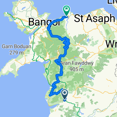
- Machynlleth, Wales, United Kingdom
A cycling route starting in Machynlleth, Wales, United Kingdom.
Overview
created this 7 months ago
Continue with Bikemap
You would like to ride Machynlleth to Aberystwyth or customize it for your own trip? Here is what you can do with this Bikemap route:
Free trial for 3 days, or one-time payment. More about Bikemap Premium.
Discover more Premium features.
Get Bikemap PremiumFrom our community
Open it in the app