Pfalz Tour 2
- 123.4 km
- 1,323 m
- 1,324 m
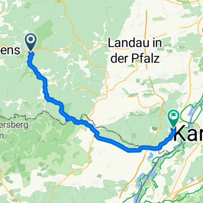
- Hinterweidenthal, Rhineland-Palatinate, Germany
A cycling route starting in Hinterweidenthal, Rhineland-Palatinate, Germany.
Overview
Bike path along the Wieslauter - family-friendly
created this 7 months ago
Route quality
Track
18 km
(56 %)
Quiet road
8.7 km
(27 %)
Paved
28.2 km
(88 %)
Unpaved
0.3 km
(1 %)
Asphalt
27.3 km
(85 %)
Paved (undefined)
1 km
(3 %)
Continue with Bikemap
You would like to ride Radweg Hinterweidenthal - Wissembourg or customize it for your own trip? Here is what you can do with this Bikemap route:
Free trial for 3 days, or one-time payment. More about Bikemap Premium.
Discover more Premium features.
Get Bikemap PremiumFrom our community
Open it in the app