3. Geisa - Bad Hersfeld 55km
- 54.9 km
- 359 m
- 459 m
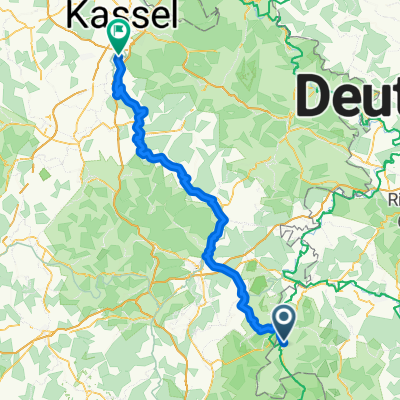
- Geisa, Thuringia, Germany
A cycling route starting in Geisa, Thuringia, Germany.
Overview
Sommertour2012 by 'Massivhaus Herrmann' Geisa
Route quality
Track
35.3 km
74 %
Quiet road
4.8 km
10 %
Paved
9.1 km
(19 %)
Unpaved
35.3 km
(74 %)
Gravel
17.2 km
36 %
Ground
11.9 km
25 %
Continue with Bikemap
You would like to ride Rhöntour or customize it for your own trip? Here is what you can do with this Bikemap route:
Free trial for 3 days, or one-time payment. More about Bikemap Premium.
Discover more Premium features.
Get Bikemap PremiumFrom our community
Open it in the app