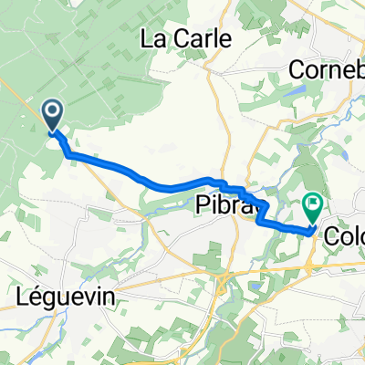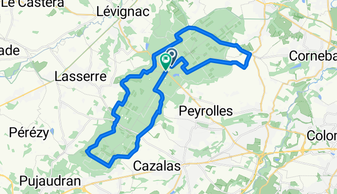

4 Rue des Sept Arpents, Brax à 3 Rue des Sept Arpents, Brax
- 28 km
- 158 m
- 162 m
- Brax, Occitanie, France
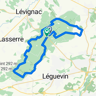
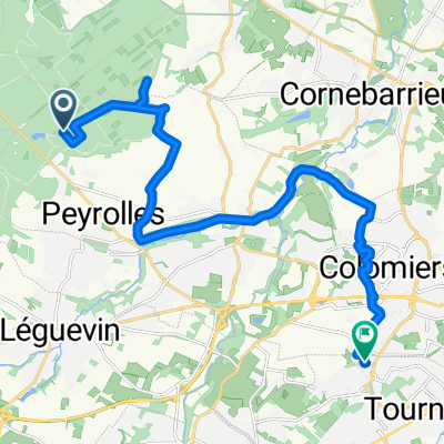
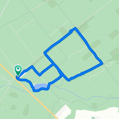
A cycling route starting in Brax, Occitanie, France.
Overview
created this 11 months ago
Route quality
Path
15.3 km
55 %
Track
10.8 km
39 %
Paved
0.8 km
(3 %)
Unpaved
4.5 km
(16 %)
Ground
3.1 km
11 %
Gravel
1.4 km
5 %
Continue with Bikemap
You would like to ride Route in Montaigut-sur-Save or customize it for your own trip? Here is what you can do with this Bikemap route:
Free trial for 3 days, or one-time payment. More about Bikemap Premium.
Discover more Premium features.
Get Bikemap PremiumFrom our community
Open it in the app