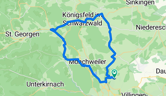

BW-König-Trails-41km
- 41.1 km
- 415 m
- 415 m
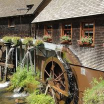
- Mönchweiler, Baden-Wurttemberg, Germany
A cycling route starting in Mönchweiler, Baden-Wurttemberg, Germany.
Overview
created this 7 months ago
Route quality
Quiet road
10 km
(36 %)
Track
6.1 km
(22 %)
Paved
24 km
(86 %)
Unpaved
3.3 km
(12 %)
Asphalt
23.2 km
(83 %)
Gravel
2.2 km
(8 %)
Continue with Bikemap
You would like to ride Runde Königsfeld-Schoren or customize it for your own trip? Here is what you can do with this Bikemap route:
Free trial for 3 days, or one-time payment. More about Bikemap Premium.
Discover more Premium features.
Get Bikemap PremiumFrom our community
Open it in the app