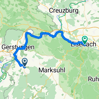
Tag 2 Werratalsee-Naturcamp-Meinhard
A cycling route starting in Dippach, Free State of Thuringia, Germany.
Overview
About this route
- 4 h 22 min
- Duration
- 70.7 km
- Distance
- 414 m
- Ascent
- 465 m
- Descent
- 16.2 km/h
- Avg. speed
- 239 m
- Avg. speed
Route quality
Waytypes & surfaces along the route
Waytypes
Track
22.6 km
(32 %)
Quiet road
16.9 km
(24 %)
Surfaces
Paved
57.4 km
(81 %)
Unpaved
9.3 km
(13 %)
Asphalt
51.5 km
(73 %)
Gravel
9.1 km
(13 %)
Continue with Bikemap
Use, edit, or download this cycling route
You would like to ride Tag 2 Werratalsee-Naturcamp-Meinhard or customize it for your own trip? Here is what you can do with this Bikemap route:
Free features
- Save this route as favorite or in collections
- Copy & plan your own version of this route
- Sync your route with Garmin or Wahoo
Premium features
Free trial for 3 days, or one-time payment. More about Bikemap Premium.
- Navigate this route on iOS & Android
- Export a GPX / KML file of this route
- Create your custom printout (try it for free)
- Download this route for offline navigation
Discover more Premium features.
Get Bikemap PremiumFrom our community
Other popular routes starting in Dippach
- Tag 2 Werratalsee-Naturcamp-Meinhard
- Distance
- 70.7 km
- Ascent
- 414 m
- Descent
- 465 m
- Location
- Dippach, Free State of Thuringia, Germany
- Schulhof 3, Werra-Suhl-Tal nach Kirchplatz 13, Werra-Suhl-Tal
- Distance
- 43.9 km
- Ascent
- 439 m
- Descent
- 447 m
- Location
- Dippach, Free State of Thuringia, Germany
- Kirchplatz 13, Werra-Suhl-Tal nach Weidenbach - Marksuhl
- Distance
- 14.1 km
- Ascent
- 9 m
- Descent
- 4 m
- Location
- Dippach, Free State of Thuringia, Germany
- Kirchplatz 13, Werra-Suhl-Tal nach Kirchplatz 13, Werra-Suhl-Tal
- Distance
- 28.7 km
- Ascent
- 579 m
- Descent
- 628 m
- Location
- Dippach, Free State of Thuringia, Germany
- Gregor
- Distance
- 13.7 km
- Ascent
- 104 m
- Descent
- 174 m
- Location
- Dippach, Free State of Thuringia, Germany
- Neuer Weg 1, Werra-Suhl-Tal nach Liegensberg 6, Werra-Suhl-Tal
- Distance
- 46.9 km
- Ascent
- 189 m
- Descent
- 177 m
- Location
- Dippach, Free State of Thuringia, Germany
- CC Route Version 2
- Distance
- 6.3 km
- Ascent
- 120 m
- Descent
- 120 m
- Location
- Dippach, Free State of Thuringia, Germany
- Tag 6
- Distance
- 85.8 km
- Ascent
- 894 m
- Descent
- 507 m
- Location
- Dippach, Free State of Thuringia, Germany
Open it in the app