

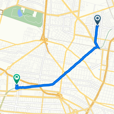
mi primer rodada
A cycling route starting in Azcapotzalco, Mexico City, Mexico.
Overview
About this route
- 2 h 41 min
- Duration
- 25.7 km
- Distance
- 135 m
- Ascent
- 132 m
- Descent
- 9.6 km/h
- Avg. speed
- 2,256 m
- Max. altitude
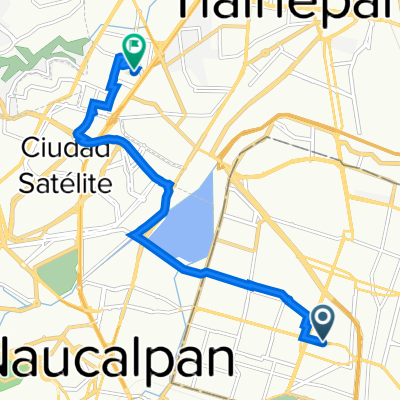
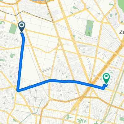
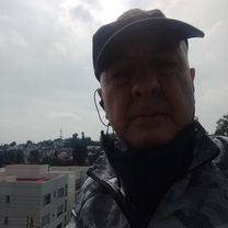
Route photos


Continue with Bikemap
Use, edit, or download this cycling route
You would like to ride mi primer rodada or customize it for your own trip? Here is what you can do with this Bikemap route:
Free features
- Save this route as favorite or in collections
- Copy & plan your own version of this route
- Sync your route with Garmin or Wahoo
Premium features
Free trial for 3 days, or one-time payment. More about Bikemap Premium.
- Navigate this route on iOS & Android
- Export a GPX / KML file of this route
- Create your custom printout (try it for free)
- Download this route for offline navigation
Discover more Premium features.
Get Bikemap PremiumFrom our community
Other popular routes starting in Azcapotzalco
 Acalapa - Salinillas
- Distance
- 7.4 km
- Ascent
- 57 m
- Descent
- 12 m
- Location
- Azcapotzalco, Mexico City, Mexico
 Calle Guanábana 199, Azcapotzalco a Calle Lago Neuchatel 72, Miguel Hidalgo
- Distance
- 5.4 km
- Ascent
- 265 m
- Descent
- 242 m
- Location
- Azcapotzalco, Mexico City, Mexico
 Calzada San Isidro Tecpatl 143, Azcapotzalco a Ex Hacienda De Santa Monica, Tlalnepantla de baz
- Distance
- 10.6 km
- Ascent
- 63 m
- Descent
- 19 m
- Location
- Azcapotzalco, Mexico City, Mexico
 Recording from 7 de enero 08:07 AM
- Distance
- 7.7 km
- Ascent
- 15 m
- Descent
- 24 m
- Location
- Azcapotzalco, Mexico City, Mexico
 arena CDMX
- Distance
- 8.6 km
- Ascent
- 36 m
- Descent
- 36 m
- Location
- Azcapotzalco, Mexico City, Mexico
 De Privada Víctor Hernández Covarrubias 25, Ciudad de México a Privada Víctor Hernández Covarrubias 135, Ciudad de México
- Distance
- 33.6 km
- Ascent
- 440 m
- Descent
- 440 m
- Location
- Azcapotzalco, Mexico City, Mexico
 camino 1
- Distance
- 7.2 km
- Ascent
- 35 m
- Descent
- 40 m
- Location
- Azcapotzalco, Mexico City, Mexico
 Gesta Heroica
- Distance
- 13.5 km
- Ascent
- ---
- Descent
- ---
- Location
- Azcapotzalco, Mexico City, Mexico
Open it in the app