

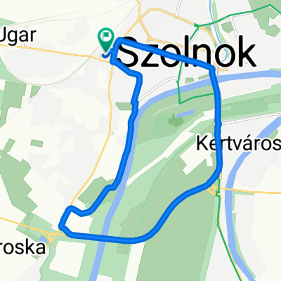
Szolnok-Nagykörű-Túrkeve - a Tisza mentén
A cycling route starting in Szolnok, Jász-Nagykun-Szolnok, Hungary.
Overview
About this route
- 4 h 42 min
- Duration
- 66.3 km
- Distance
- 39 m
- Ascent
- 45 m
- Descent
- 14.1 km/h
- Avg. speed
- 91 m
- Max. altitude

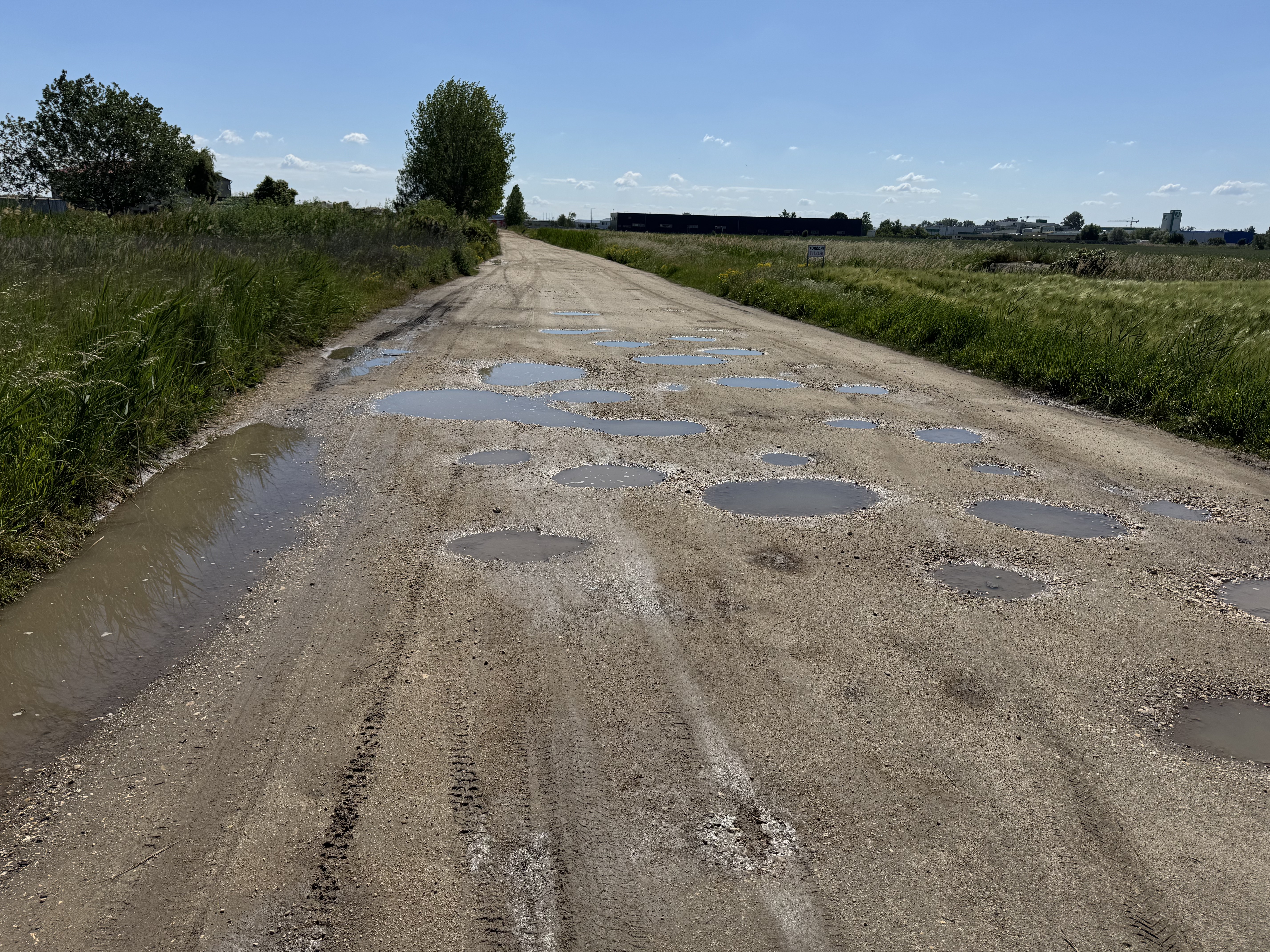
Route quality
Waytypes & surfaces along the route
Waytypes
Track
24 km
(36 %)
Access road
21.1 km
(32 %)
Surfaces
Paved
31.4 km
(47 %)
Unpaved
0.6 km
(<1 %)
Asphalt
24.5 km
(37 %)
Paved (undefined)
6.9 km
(10 %)
Continue with Bikemap
Use, edit, or download this cycling route
You would like to ride Szolnok-Nagykörű-Túrkeve - a Tisza mentén or customize it for your own trip? Here is what you can do with this Bikemap route:
Free features
- Save this route as favorite or in collections
- Copy & plan your own version of this route
- Sync your route with Garmin or Wahoo
Premium features
Free trial for 3 days, or one-time payment. More about Bikemap Premium.
- Navigate this route on iOS & Android
- Export a GPX / KML file of this route
- Create your custom printout (try it for free)
- Download this route for offline navigation
Discover more Premium features.
Get Bikemap PremiumFrom our community
Other popular routes starting in Szolnok
 Mester utca 37, Szolnok to Mester utca 37, Szolnok
- Distance
- 10.8 km
- Ascent
- 57 m
- Descent
- 57 m
- Location
- Szolnok, Jász-Nagykun-Szolnok, Hungary
 Puskás Tivadar körút 10, Szolnok - Parkoló tér 1, Tószeg
- Distance
- 12.7 km
- Ascent
- 3 m
- Descent
- 10 m
- Location
- Szolnok, Jász-Nagykun-Szolnok, Hungary
 Tiszaligeti sétány, Szolnok nach Tiszaligeti sétány, Szolnok
- Distance
- 60.6 km
- Ascent
- 81 m
- Descent
- 81 m
- Location
- Szolnok, Jász-Nagykun-Szolnok, Hungary
 Szolnok-Szeged
- Distance
- 129.9 km
- Ascent
- 35 m
- Descent
- 44 m
- Location
- Szolnok, Jász-Nagykun-Szolnok, Hungary
 Manchester - Luxembourg- Szolnok
- Distance
- 2,342.7 km
- Ascent
- 1,459 m
- Descent
- 1,509 m
- Location
- Szolnok, Jász-Nagykun-Szolnok, Hungary
 Tisza kör
- Distance
- 12.8 km
- Ascent
- 12 m
- Descent
- 9 m
- Location
- Szolnok, Jász-Nagykun-Szolnok, Hungary
 Szolnok-Trieszt
- Distance
- 686.6 km
- Ascent
- 1,000 m
- Descent
- 1,074 m
- Location
- Szolnok, Jász-Nagykun-Szolnok, Hungary
 Szeged-Gyula-Gyomaendrőd-Szavas-Gyomaendrőd-Hajdúszoboszló-Tiszafüred-Szolnok
- Distance
- 570.9 km
- Ascent
- 45 m
- Descent
- 46 m
- Location
- Szolnok, Jász-Nagykun-Szolnok, Hungary
Open it in the app