

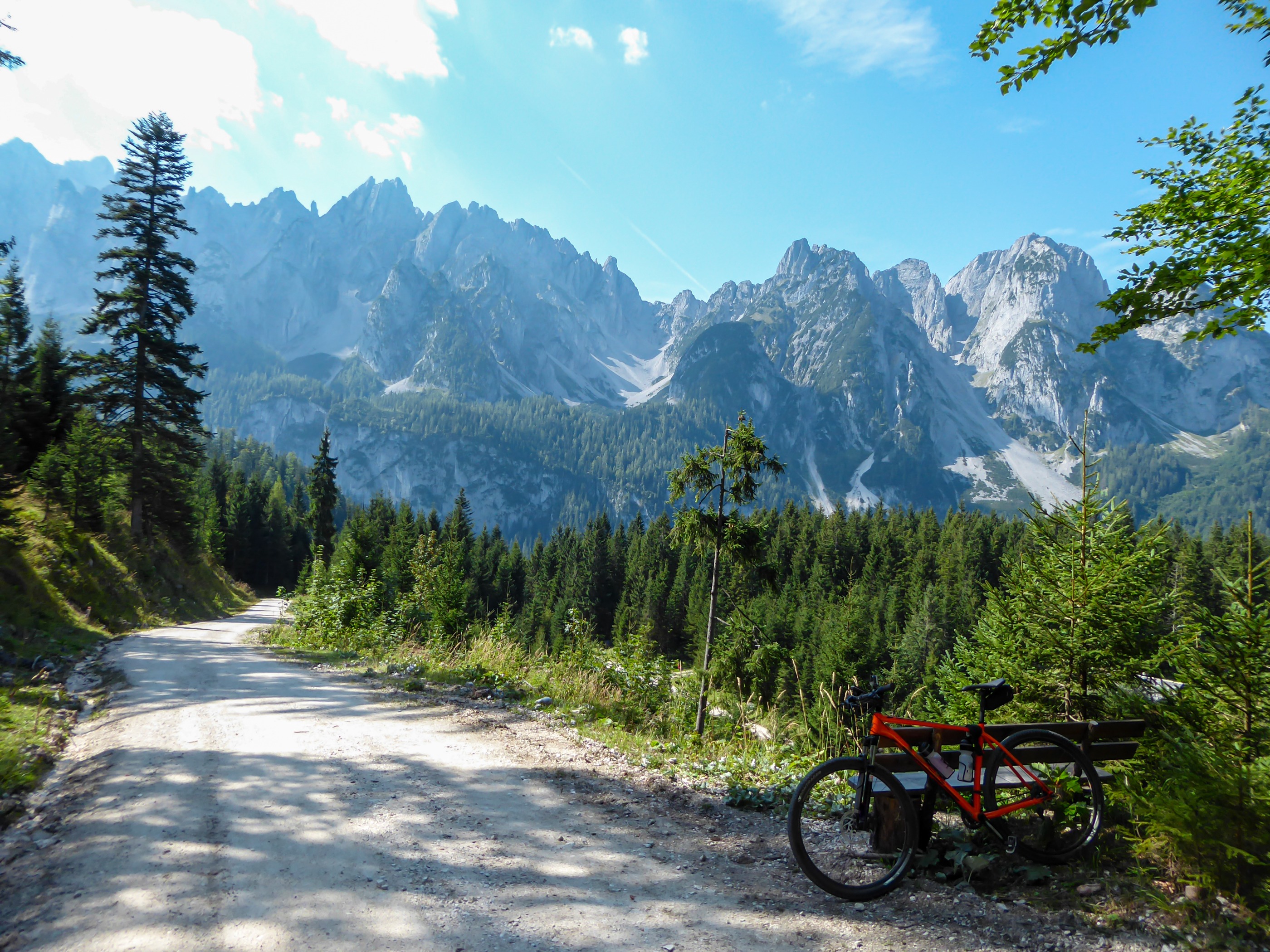
Gravel Austria: A Gravel Bike Journey Through Eight Federal States
Gravel Austria, Etappe Tirol, Ost - West
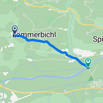
A cycling route starting in Hollersbach im Pinzgau, Salzburg, Austria.
Overview
About this route
Alle Etappen: https://web.bikemap.net/c/416494
- 18 h 57 min
- Duration
- 288.9 km
- Distance
- 3,301 m
- Ascent
- 2,747 m
- Descent
- 15.2 km/h
- Avg. speed
- 1,838 m
- Max. altitude
Part of
Continue with Bikemap
Use, edit, or download this cycling route
You would like to ride Gravel Austria, Etappe Tirol, Ost - West or customize it for your own trip? Here is what you can do with this Bikemap route:
Free features
- Save this route as favorite or in collections
- Copy & plan your own version of this route
- Split it into stages to create a multi-day tour
- Sync your route with Garmin or Wahoo
Premium features
Free trial for 3 days, or one-time payment. More about Bikemap Premium.
- Navigate this route on iOS & Android
- Export a GPX / KML file of this route
- Create your custom printout (try it for free)
- Download this route for offline navigation
Discover more Premium features.
Get Bikemap PremiumFrom our community
Other popular routes starting in Hollersbach im Pinzgau
 Etappe 8 - Krimml
- Distance
- 28 km
- Ascent
- 451 m
- Descent
- 190 m
- Location
- Hollersbach im Pinzgau, Salzburg, Austria
 BGD-VNZ: 05 St. Pöltener Hütte - Lienz (6 ***)
- Distance
- 60.4 km
- Ascent
- 114 m
- Descent
- 1,899 m
- Location
- Hollersbach im Pinzgau, Salzburg, Austria
 den 1 Hollersbach - Camp Schloss Aigen
- Distance
- 126.2 km
- Ascent
- 176 m
- Descent
- 543 m
- Location
- Hollersbach im Pinzgau, Salzburg, Austria
 Kitzbuhel 4 kurz
- Distance
- 17.1 km
- Ascent
- 773 m
- Descent
- 771 m
- Location
- Hollersbach im Pinzgau, Salzburg, Austria
 Thurnpas to Kitzbuhel
- Distance
- 18.9 km
- Ascent
- 80 m
- Descent
- 567 m
- Location
- Hollersbach im Pinzgau, Salzburg, Austria
 Schnelle Ausfahrt durch Mittersill
- Distance
- 2 km
- Ascent
- 4 m
- Descent
- 113 m
- Location
- Hollersbach im Pinzgau, Salzburg, Austria
 Resterhöhe- Panoramaalm-Sonnalm
- Distance
- 16.6 km
- Ascent
- 699 m
- Descent
- 697 m
- Location
- Hollersbach im Pinzgau, Salzburg, Austria
 Unbenannte Route
- Distance
- 251.9 km
- Ascent
- 2,324 m
- Descent
- 2,835 m
- Location
- Hollersbach im Pinzgau, Salzburg, Austria
Open it in the app