

Untitled route
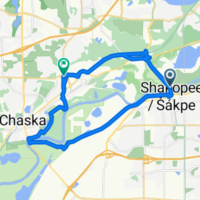
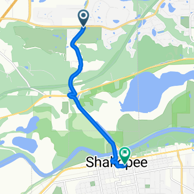
A cycling route starting in Shakopee, Minnesota, United States.
Overview
About this route
- 5 h 11 min
- Duration
- 90.9 km
- Distance
- 685 m
- Ascent
- 715 m
- Descent
- 17.5 km/h
- Avg. speed
- 314 m
- Max. altitude

Route quality
Waytypes & surfaces along the route
Waytypes
Cycleway
80 km
(88 %)
Quiet road
4.5 km
(5 %)
Surfaces
Paved
77.2 km
(85 %)
Unpaved
1.8 km
(2 %)
Asphalt
63.6 km
(70 %)
Paved (undefined)
12.7 km
(14 %)
Continue with Bikemap
Use, edit, or download this cycling route
You would like to ride Untitled route or customize it for your own trip? Here is what you can do with this Bikemap route:
Free features
- Save this route as favorite or in collections
- Copy & plan your own version of this route
- Split it into stages to create a multi-day tour
- Sync your route with Garmin or Wahoo
Premium features
Free trial for 3 days, or one-time payment. More about Bikemap Premium.
- Navigate this route on iOS & Android
- Export a GPX / KML file of this route
- Create your custom printout (try it for free)
- Download this route for offline navigation
Discover more Premium features.
Get Bikemap PremiumFrom our community
Other popular routes starting in Shakopee
 494 B2B Cologne to Bren Rd
- Distance
- 16.1 km
- Ascent
- 185 m
- Descent
- 133 m
- Location
- Shakopee, Minnesota, United States
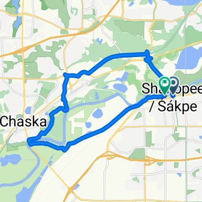
 Untitled route
- Distance
- 90.9 km
- Ascent
- 685 m
- Descent
- 715 m
- Location
- Shakopee, Minnesota, United States
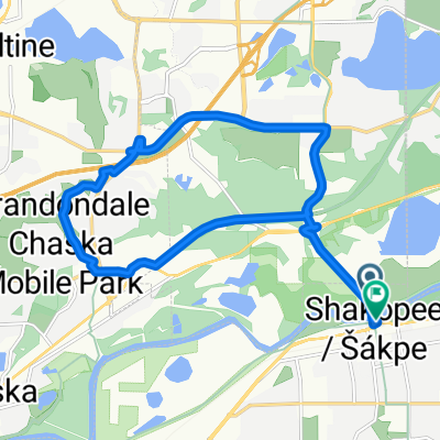
 Minnesota Valley State Trail, Shakopee to Old Audubon Rd, Chaska
- Distance
- 25.9 km
- Ascent
- 108 m
- Descent
- 97 m
- Location
- Shakopee, Minnesota, United States
 Shakopee Route 1
- Distance
- 22.6 km
- Ascent
- 67 m
- Descent
- 64 m
- Location
- Shakopee, Minnesota, United States
 Shakopee Ride 5
- Distance
- 16.9 km
- Ascent
- 138 m
- Descent
- 134 m
- Location
- Shakopee, Minnesota, United States
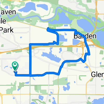
 Sporty route in Chanhassen
- Distance
- 30.8 km
- Ascent
- 272 m
- Descent
- 272 m
- Location
- Shakopee, Minnesota, United States
 Shakopee Ride 6
- Distance
- 16.9 km
- Ascent
- 92 m
- Descent
- 91 m
- Location
- Shakopee, Minnesota, United States
 9700–9762 Great Plains Blvd, Chanhassen to 200–250 Second Ave E, Shakopee
- Distance
- 4.4 km
- Ascent
- 33 m
- Descent
- 84 m
- Location
- Shakopee, Minnesota, United States
Open it in the app