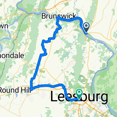
Canal Rd, Point Of Rocks to Canal Rd, Point Of Rocks
- 19.4 km
- 45 m
- 44 m
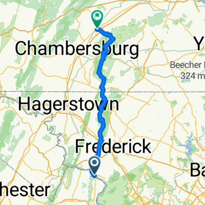
- Point of Rocks, Maryland, United States
A cycling route starting in Point of Rocks, Maryland, United States.
Overview
created this 7 months ago
Route quality
Path
18.6 km
(96 %)
Access road
0.8 km
(4 %)
Paved
0.8 km
(4 %)
Unpaved
18.6 km
(96 %)
Gravel
18.6 km
(96 %)
Asphalt
0.8 km
(4 %)
Continue with Bikemap
You would like to ride Canal Rd, Point Of Rocks to Canal Rd, Point Of Rocks or customize it for your own trip? Here is what you can do with this Bikemap route:
Free trial for 3 days, or one-time payment. More about Bikemap Premium.
Discover more Premium features.
Get Bikemap PremiumFrom our community
Open it in the app