

20.224, -99.816 a 20.224, -99.816
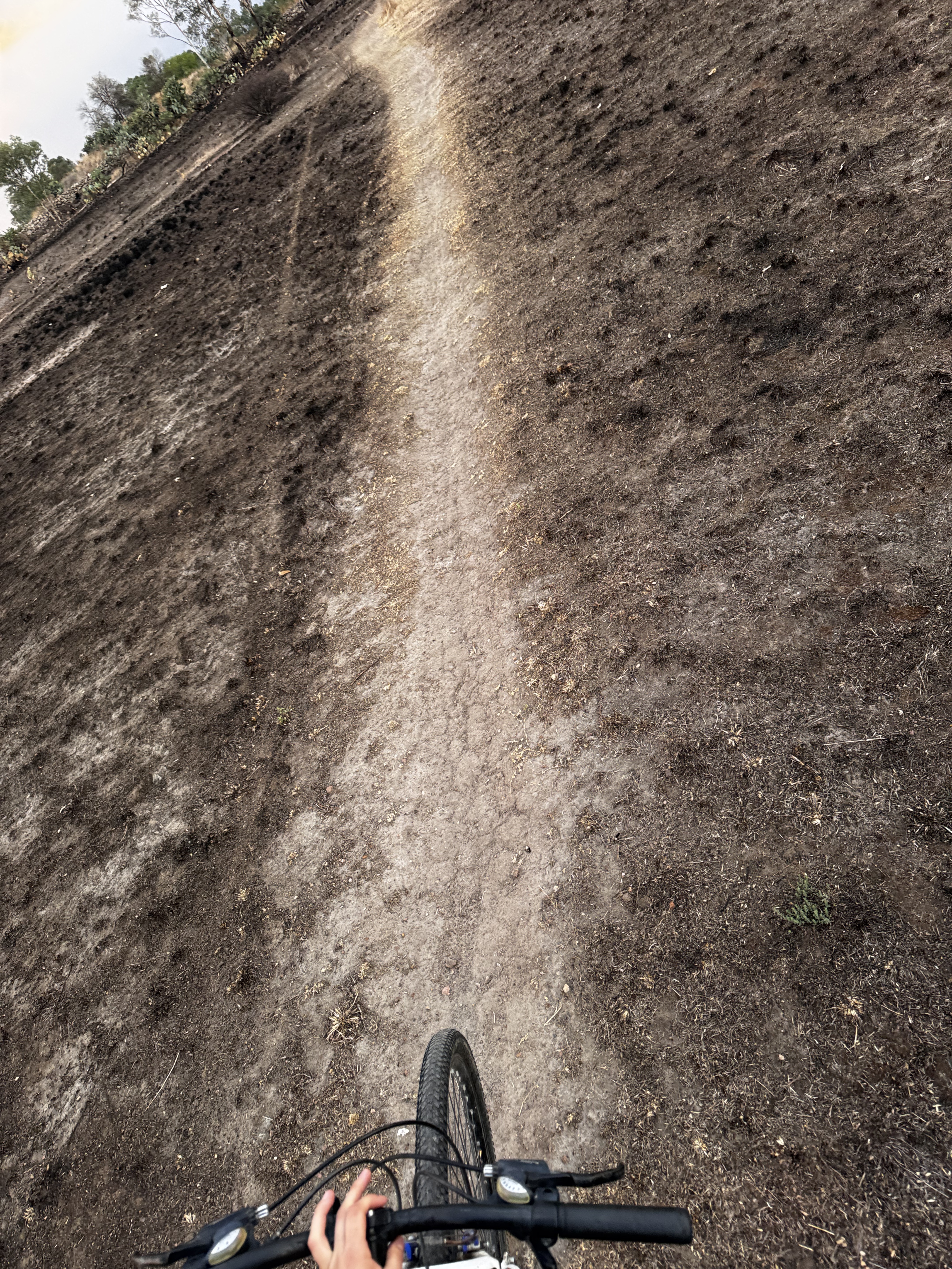
A cycling route starting in La Presita Segundo Cuartel, State of Mexico, Mexico.
Overview
About this route
- 2 h 29 min
- Duration
- 16.7 km
- Distance
- 401 m
- Ascent
- 402 m
- Descent
- 6.7 km/h
- Avg. speed
- 2,322 m
- Max. altitude
Continue with Bikemap
Use, edit, or download this cycling route
You would like to ride 20.224, -99.816 a 20.224, -99.816 or customize it for your own trip? Here is what you can do with this Bikemap route:
Free features
- Save this route as favorite or in collections
- Copy & plan your own version of this route
- Sync your route with Garmin or Wahoo
Premium features
Free trial for 3 days, or one-time payment. More about Bikemap Premium.
- Navigate this route on iOS & Android
- Export a GPX / KML file of this route
- Create your custom printout (try it for free)
- Download this route for offline navigation
Discover more Premium features.
Get Bikemap PremiumFrom our community
Other popular routes starting in La Presita Segundo Cuartel
 De ??õk? a ??õk?
- Distance
- 28.5 km
- Ascent
- 291 m
- Descent
- 286 m
- Location
- La Presita Segundo Cuartel, State of Mexico, Mexico
 20.224, -99.816 a 20.224, -99.816
- Distance
- 16.7 km
- Ascent
- 401 m
- Descent
- 402 m
- Location
- La Presita Segundo Cuartel, State of Mexico, Mexico
 De ??õk? a ??õk?
- Distance
- 23.2 km
- Ascent
- 250 m
- Descent
- 248 m
- Location
- La Presita Segundo Cuartel, State of Mexico, Mexico
 Calle 2 de Marzo, Polotitlán de la Ilustración a Calle 2 de Marzo, Polotitlán de la Ilustración
- Distance
- 16.7 km
- Ascent
- 401 m
- Descent
- 402 m
- Location
- La Presita Segundo Cuartel, State of Mexico, Mexico
Open it in the app