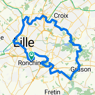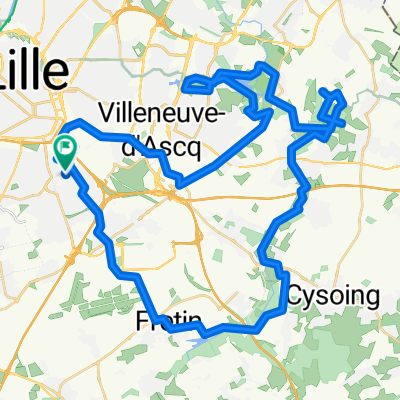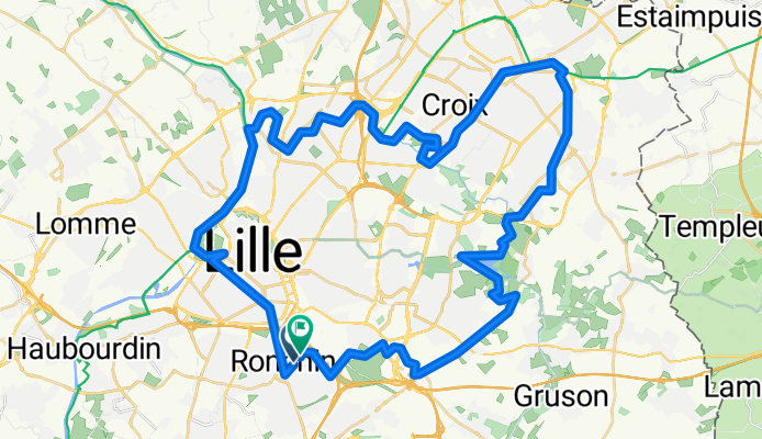

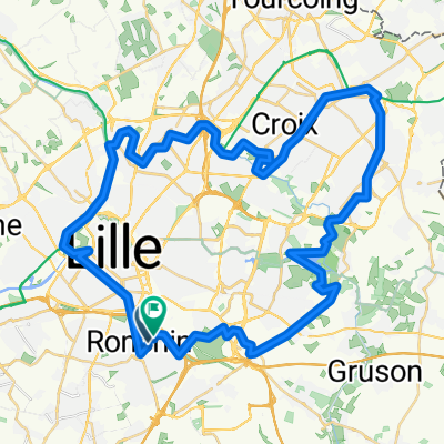
BARBIEUX LOOP (Au fil de l'eau)
- 52.9 km
- 324 m
- 370 m
- Ronchin, Hauts-de-France, France
A cycling route starting in Ronchin, Hauts-de-France, France.
Overview
created this 7 months ago
Route quality
Path
29.1 km
(55 %)
Quiet road
5.3 km
(10 %)
Paved
28 km
(53 %)
Unpaved
21.2 km
(40 %)
Asphalt
23.3 km
(44 %)
Gravel
12.7 km
(24 %)
Continue with Bikemap
You would like to ride BARBIEUX LOOP (Au fil de l'eau) or customize it for your own trip? Here is what you can do with this Bikemap route:
Free trial for 3 days, or one-time payment. More about Bikemap Premium.
Discover more Premium features.
Get Bikemap PremiumFrom our community
Open it in the app