Weinberge
- 45.5 km
- 185 m
- 184 m
- Kandel, Rhineland-Palatinate, Germany
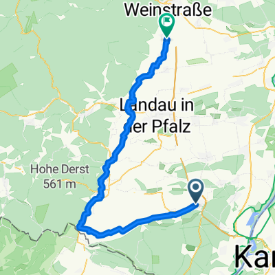
A cycling route starting in Kandel, Rhineland-Palatinate, Germany.
Overview
Parking: Kandel Industriestrasse
B 49.09970 L 8.18343
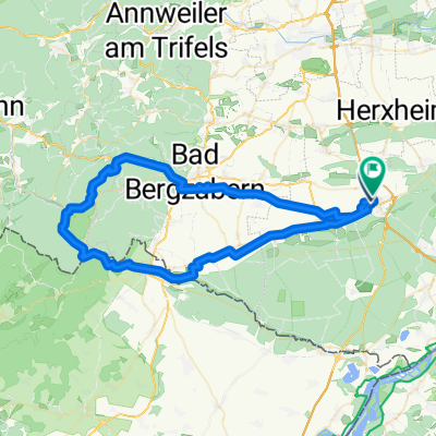
Southeast, between Dahn and Fischbach, there is a beautiful forested area with a pond and pools (called Woog here), which you can cycle through. I liked it so much that I want to go there again.
created this 13 years ago
Route quality
Track
58 km
(57 %)
Quiet road
15.3 km
(15 %)
Paved
71.3 km
(70 %)
Unpaved
19.3 km
(19 %)
Asphalt
66.2 km
(65 %)
Gravel
11.2 km
(11 %)
Route highlights
Schutzhuette Hinterstell 355 m
Continue with Bikemap
You would like to ride Dahn Biosphären-Gebiet or customize it for your own trip? Here is what you can do with this Bikemap route:
Free trial for 3 days, or one-time payment. More about Bikemap Premium.
Discover more Premium features.
Get Bikemap PremiumFrom our community
Open it in the app