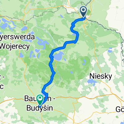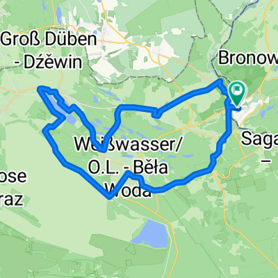
Wojska Polskiego, Łęknica do Wojska Polskiego, Łęknica
- 43 km
- 182 m
- 187 m
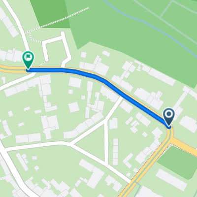
- Łęknica, Lubusz Voivodship, Poland
Wypad do Mużaka
A cycling route starting in Łęknica, Lubusz Voivodship, Poland.
Overview
created this 7 months ago
Part of
4 stages
Route quality
Cycleway
9.3 km
(40 %)
Track
8.6 km
(37 %)
Paved
10 km
(43 %)
Unpaved
8.6 km
(37 %)
Paved (undefined)
9.1 km
(39 %)
Unpaved (undefined)
3.7 km
(16 %)
Continue with Bikemap
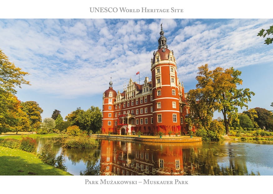
You would like to ride Park Mużakowski - pętla Łęknica - Bad Muskau or customize it for your own trip? Here is what you can do with this Bikemap route:
Free trial for 3 days, or one-time payment. More about Bikemap Premium.
Discover more Premium features.
Get Bikemap PremiumFrom our community
Open it in the app