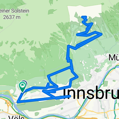
Dolomitenrunde
- 567.6 km
- 6,783 m
- 6,612 m
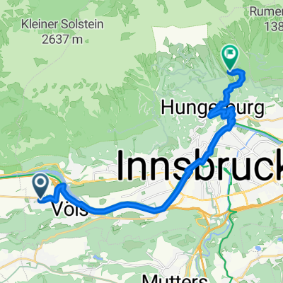
- Völs, Tyrol, Austria
A cycling route starting in Völs, Tyrol, Austria.
Overview
From Innsbruck (Austria) to Scuol (Switzerland) along the Inntal Radweg.
Total distance : 159 km
Total climb : 1260 m
Number of days : 2
More information on <span style="text-decoration: underline;">www.europebybike.info</span>
created this 13 years ago
Route quality
Track
67.8 km
(49 %)
Quiet road
31.8 km
(23 %)
Paved
105.2 km
(76 %)
Unpaved
19.4 km
(14 %)
Asphalt
101.1 km
(73 %)
Gravel
16.6 km
(12 %)
Route highlights
Camping Innsbruck-Kranebitten (overcrowded during summer holidays)
Campingplatz TCS, Scuol
Continue with Bikemap
You would like to ride Innsbruck - Scuol or customize it for your own trip? Here is what you can do with this Bikemap route:
Free trial for 3 days, or one-time payment. More about Bikemap Premium.
Discover more Premium features.
Get Bikemap PremiumFrom our community
Open it in the app