

Evro Velo 6 2025
12.Engelhartszell-Hofkirchen
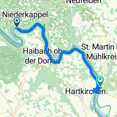
A cycling route starting in Pfarrkirchen im Mühlkreis, Upper Austria, Austria.
Overview
About this route
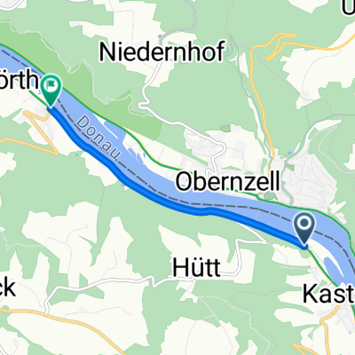
Engelhartszell-Hofkirchen, 60 km Kamp “Donautal Camping”, Schillerstrasse 14 Cena je 18,5e za noć. U cenu je uračunato dvoje odraslih, šator, struja i lokalne takse.
- 3 h 36 min
- Duration
- 60.6 km
- Distance
- 586 m
- Ascent
- 574 m
- Descent
- 16.9 km/h
- Avg. speed
- 359 m
- Max. altitude
Part of

Evro Velo 6 2025
19 stages
Route quality
Waytypes & surfaces along the route
Waytypes
Cycleway
20.6 km
(34 %)
Track
15.8 km
(26 %)
Surfaces
Paved
49.1 km
(81 %)
Unpaved
7.9 km
(13 %)
Asphalt
49.1 km
(81 %)
Loose gravel
6.7 km
(11 %)
Continue with Bikemap
Use, edit, or download this cycling route
You would like to ride 12.Engelhartszell-Hofkirchen or customize it for your own trip? Here is what you can do with this Bikemap route:
Free features
- Save this route as favorite or in collections
- Copy & plan your own version of this route
- Sync your route with Garmin or Wahoo
Premium features
Free trial for 3 days, or one-time payment. More about Bikemap Premium.
- Navigate this route on iOS & Android
- Export a GPX / KML file of this route
- Create your custom printout (try it for free)
- Download this route for offline navigation
Discover more Premium features.
Get Bikemap PremiumFrom our community
Other popular routes starting in Pfarrkirchen im Mühlkreis
 Donaurunde Obernzell - Niederranna und zurück
- Distance
- 36.8 km
- Ascent
- 286 m
- Descent
- 413 m
- Location
- Pfarrkirchen im Mühlkreis, Upper Austria, Austria
 E10.2. 16.7.25 Passau nach Au
- Distance
- 16.2 km
- Ascent
- 87 m
- Descent
- 149 m
- Location
- Pfarrkirchen im Mühlkreis, Upper Austria, Austria
 Deggendorf - Pfarrkirchen im Mühlkreis
- Distance
- 3.5 km
- Ascent
- 39 m
- Descent
- 68 m
- Location
- Pfarrkirchen im Mühlkreis, Upper Austria, Austria
 Pfarrkirchen im Mühlkreis - Feldkirchen an der Donau
- Distance
- 24.5 km
- Ascent
- 650 m
- Descent
- 644 m
- Location
- Pfarrkirchen im Mühlkreis, Upper Austria, Austria
 DonauTalMan
- Distance
- 146.1 km
- Ascent
- 3,060 m
- Descent
- 3,055 m
- Location
- Pfarrkirchen im Mühlkreis, Upper Austria, Austria
 Teil 7: Von Engelhartszell bis Gallneukirchen
- Distance
- 82.4 km
- Ascent
- 1,349 m
- Descent
- 1,314 m
- Location
- Pfarrkirchen im Mühlkreis, Upper Austria, Austria
 Efteling - Tag 5
- Distance
- 62.4 km
- Ascent
- 183 m
- Descent
- 166 m
- Location
- Pfarrkirchen im Mühlkreis, Upper Austria, Austria
 12.Engelhartszell-Hofkirchen
- Distance
- 60.6 km
- Ascent
- 586 m
- Descent
- 574 m
- Location
- Pfarrkirchen im Mühlkreis, Upper Austria, Austria
Open it in the app