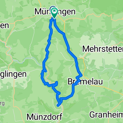
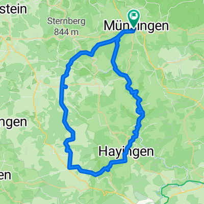
50 Samstag 2025
A cycling route starting in Münsingen, Baden-Württemberg, Germany.
Overview
About this route
- 3 h 11 min
- Duration
- 50 km
- Distance
- 611 m
- Ascent
- 610 m
- Descent
- 15.7 km/h
- Avg. speed
- 792 m
- Avg. speed
Route quality
Waytypes & surfaces along the route
Waytypes
Track
28.5 km
(57 %)
Quiet road
7.8 km
(16 %)
Surfaces
Paved
27.6 km
(55 %)
Unpaved
12.7 km
(25 %)
Asphalt
24.9 km
(50 %)
Loose gravel
8.5 km
(17 %)
Continue with Bikemap
Use, edit, or download this cycling route
You would like to ride 50 Samstag 2025 or customize it for your own trip? Here is what you can do with this Bikemap route:
Free features
- Save this route as favorite or in collections
- Copy & plan your own version of this route
- Sync your route with Garmin or Wahoo
Premium features
Free trial for 3 days, or one-time payment. More about Bikemap Premium.
- Navigate this route on iOS & Android
- Export a GPX / KML file of this route
- Create your custom printout (try it for free)
- Download this route for offline navigation
Discover more Premium features.
Get Bikemap PremiumFrom our community
Other popular routes starting in Münsingen
- Buchbare Tour 4 | 4. Tag Variante 1
- Distance
- 8 km
- Ascent
- 145 m
- Descent
- 141 m
- Location
- Münsingen, Baden-Württemberg, Germany
- 50 Samstag 2025
- Distance
- 50 km
- Ascent
- 611 m
- Descent
- 610 m
- Location
- Münsingen, Baden-Württemberg, Germany
- MÜNSINGER E-BIKE TOUR 1: Gestütshof und Rutschenfelsen
- Distance
- 45.2 km
- Ascent
- 657 m
- Descent
- 660 m
- Location
- Münsingen, Baden-Württemberg, Germany
- Trailfinger Säge-Laichingen
- Distance
- 59.4 km
- Ascent
- 857 m
- Descent
- 856 m
- Location
- Münsingen, Baden-Württemberg, Germany
- Buchbare Tour 4 | 4. Tag Variante 2
- Distance
- 21.6 km
- Ascent
- 262 m
- Descent
- 260 m
- Location
- Münsingen, Baden-Württemberg, Germany
- Alb Gold Trophy 2007
- Distance
- 80 km
- Ascent
- 837 m
- Descent
- 837 m
- Location
- Münsingen, Baden-Württemberg, Germany
- Buchbare Tour 4 | 3. Tag
- Distance
- 18.1 km
- Ascent
- 334 m
- Descent
- 333 m
- Location
- Münsingen, Baden-Württemberg, Germany
- Über die Albhöhen ins Lautertal
- Distance
- 38.4 km
- Ascent
- 665 m
- Descent
- 680 m
- Location
- Münsingen, Baden-Württemberg, Germany
Open it in the app